1142 N 700 W Centerville, UT 84014
Estimated Value: $421,000 - $456,000
2
Beds
2
Baths
1,617
Sq Ft
$267/Sq Ft
Est. Value
About This Home
This home is located at 1142 N 700 W, Centerville, UT 84014 and is currently estimated at $432,514, approximately $267 per square foot. 1142 N 700 W is a home located in Davis County with nearby schools including Stewart Elementary School, Centerville Jr High, and Viewmont High School.
Ownership History
Date
Name
Owned For
Owner Type
Purchase Details
Closed on
Dec 10, 2021
Sold by
Juluson Richard V
Bought by
Juluson Family Trust
Current Estimated Value
Purchase Details
Closed on
Oct 7, 2014
Sold by
Walls Julie Ann and Stoddard Cindy Marie
Bought by
The Juluson Family Trust
Purchase Details
Closed on
Jan 26, 2007
Sold by
Moosman La Rae
Bought by
Moosman Gene L and Moosman Larae B
Purchase Details
Closed on
Dec 28, 2006
Sold by
Anderson Mark E
Bought by
Moosman La Rae
Create a Home Valuation Report for This Property
The Home Valuation Report is an in-depth analysis detailing your home's value as well as a comparison with similar homes in the area
Home Values in the Area
Average Home Value in this Area
Purchase History
| Date | Buyer | Sale Price | Title Company |
|---|---|---|---|
| Juluson Family Trust | -- | -- | |
| Richard Williams | -- | Backman Title Services | |
| The Juluson Family Trust | -- | Backman Title Servi | |
| Moosman Gene L | -- | Bonneville Superior Title Co | |
| Moosman La Rae | -- | Bonneville Superior Title Co |
Source: Public Records
Tax History Compared to Growth
Tax History
| Year | Tax Paid | Tax Assessment Tax Assessment Total Assessment is a certain percentage of the fair market value that is determined by local assessors to be the total taxable value of land and additions on the property. | Land | Improvement |
|---|---|---|---|---|
| 2025 | $2,673 | $232,100 | $72,050 | $160,050 |
| 2024 | $2,559 | $226,600 | $55,000 | $171,600 |
| 2023 | $2,600 | $420,000 | $98,000 | $322,000 |
| 2022 | $2,612 | $233,750 | $52,800 | $180,950 |
| 2021 | $2,263 | $313,000 | $69,000 | $244,000 |
| 2020 | $2,001 | $275,000 | $64,500 | $210,500 |
| 2019 | $1,925 | $260,000 | $62,000 | $198,000 |
| 2018 | $1,738 | $231,000 | $58,000 | $173,000 |
| 2016 | $1,379 | $103,015 | $19,800 | $83,215 |
| 2015 | $1,470 | $104,280 | $19,800 | $84,480 |
| 2014 | $100 | $104,200 | $18,333 | $85,867 |
| 2013 | -- | $109,474 | $20,900 | $88,574 |
Source: Public Records
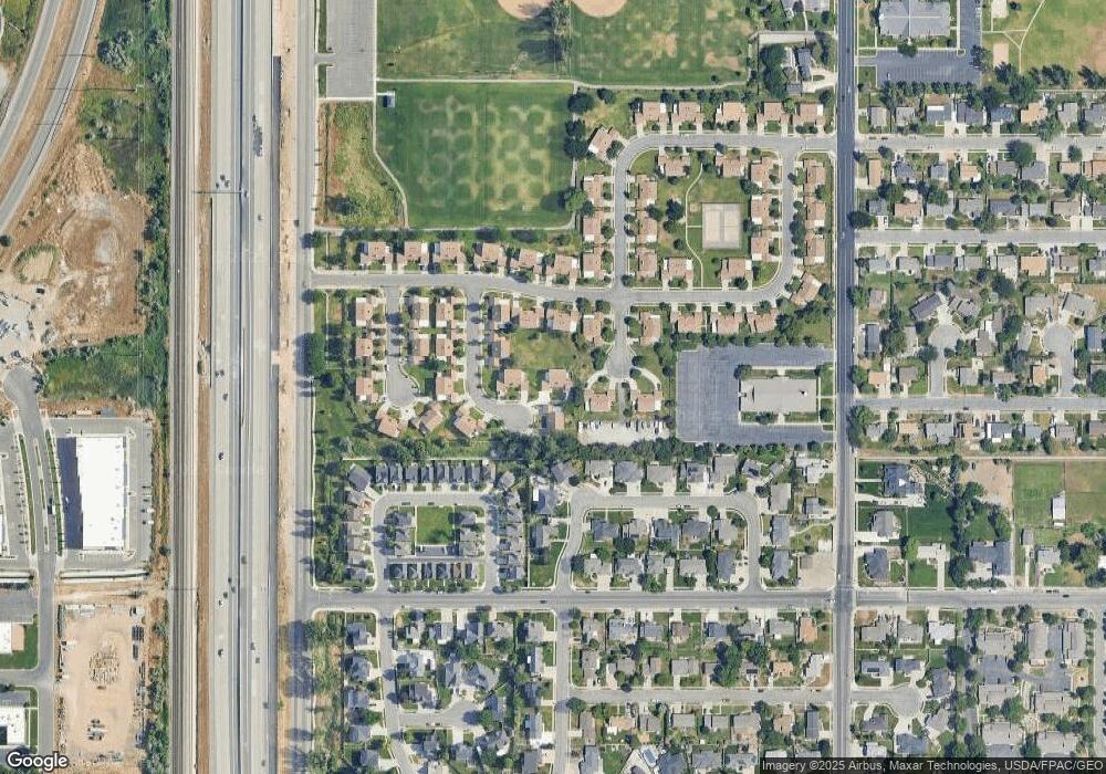
Map
Nearby Homes
- 1154 N 700 W
- 732 W 1175 N
- 429 W 1050 N
- 271 Brookfield Ln
- 495 Creek View Rd
- 781 Pheasantbrook Dr
- 509 Applewood Dr
- 638 N 800 W
- 282 W 650 N
- 447 W 620 N Unit 106
- 67 W Pheasantbrook Dr
- 281 W 650 N Unit C
- 171 W 650 N
- 1441 N Main St
- 1285 Nola Dr
- 145 Ford Canyon Dr
- 274 N 100 W
- 733 W 1825 N
- 232 N 100 W
- 128 W 200 N