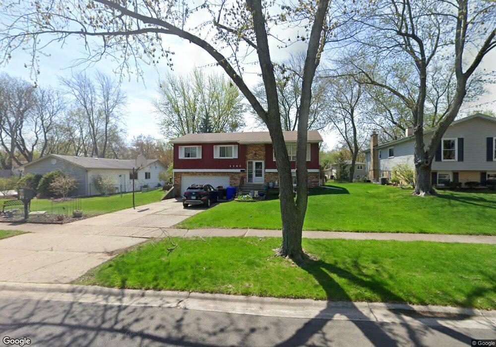
1142 Oxford Ln Wheaton, IL 60189
North Danada NeighborhoodEstimated Value: $395,068 - $455,000
3
Beds
2
Baths
1,100
Sq Ft
$395/Sq Ft
Est. Value
About This Home
This home is located at 1142 Oxford Ln, Wheaton, IL 60189 and is currently estimated at $435,017, approximately $395 per square foot. 1142 Oxford Ln is a home located in DuPage County with nearby schools including Wiesbrook Elementary School, Hubble Middle School, and Wheaton Warrenville South High School.
Ownership History
Date
Name
Owned For
Owner Type
Purchase Details
Closed on
Jan 26, 2007
Sold by
Guido Carmen S and Guido Linda L
Bought by
Guido Linda L
Current Estimated Value
Home Financials for this Owner
Home Financials are based on the most recent Mortgage that was taken out on this home.
Original Mortgage
$200,000
Interest Rate
6.19%
Mortgage Type
Stand Alone Refi Refinance Of Original Loan
Create a Home Valuation Report for This Property
The Home Valuation Report is an in-depth analysis detailing your home's value as well as a comparison with similar homes in the area
Home Values in the Area
Average Home Value in this Area
Purchase History
| Date | Buyer | Sale Price | Title Company |
|---|---|---|---|
| Guido Linda L | -- | Ctic Dupage |
Source: Public Records
Mortgage History
| Date | Status | Borrower | Loan Amount |
|---|---|---|---|
| Closed | Guido Linda L | $200,000 |
Source: Public Records
Tax History Compared to Growth
Tax History
| Year | Tax Paid | Tax Assessment Tax Assessment Total Assessment is a certain percentage of the fair market value that is determined by local assessors to be the total taxable value of land and additions on the property. | Land | Improvement |
|---|---|---|---|---|
| 2024 | $6,256 | $113,061 | $36,970 | $76,091 |
| 2023 | $5,952 | $104,070 | $34,030 | $70,040 |
| 2022 | $6,050 | $98,360 | $32,160 | $66,200 |
| 2021 | $6,018 | $96,030 | $31,400 | $64,630 |
| 2020 | $5,995 | $95,140 | $31,110 | $64,030 |
| 2019 | $6,202 | $92,630 | $30,290 | $62,340 |
| 2018 | $5,944 | $88,060 | $28,540 | $59,520 |
| 2017 | $5,849 | $84,810 | $27,490 | $57,320 |
| 2016 | $5,765 | $81,420 | $26,390 | $55,030 |
| 2015 | $5,713 | $77,680 | $25,180 | $52,500 |
| 2014 | $5,566 | $74,650 | $24,120 | $50,530 |
| 2013 | $5,423 | $74,870 | $24,190 | $50,680 |
Source: Public Records
Map
Nearby Homes
- 1813 Knapp Ct
- 1260 Windsor Dr
- 2011 Lancaster Ln
- 1888 Cheshire Ln
- 1703 Lakecliffe Dr Unit A
- 1694 Farragut Ct Unit A
- 1687 Williamsburg Ct Unit A
- 1678 Trowbridge Ct Unit D
- 23W234 Woodcroft Dr
- 1010 Heathrow Ct
- 2S630 Devonshire Ln
- 23W160 Woodcroft Dr
- 1771 Lucky Debonair Ct
- 1268 Edinburgh Ct
- 1129 Rhodes Ct
- 2S651 Ashley Dr
- 2254 Blacksmith Dr
- 3S078 Blackcherry Ln
- 187 E Thompson Dr
- 1581 Groton Ln