1142 Samuel Point Unit 32 Colorado Springs, CO 80906
Stratmoor Hills NeighborhoodEstimated Value: $292,460 - $319,000
3
Beds
2
Baths
1,124
Sq Ft
$277/Sq Ft
Est. Value
About This Home
This home is located at 1142 Samuel Point Unit 32, Colorado Springs, CO 80906 and is currently estimated at $310,865, approximately $276 per square foot. 1142 Samuel Point Unit 32 is a home located in El Paso County with nearby schools including Otero Elementary School, Fox Meadow Middle School, and Harrison High School.
Ownership History
Date
Name
Owned For
Owner Type
Purchase Details
Closed on
Oct 19, 2006
Sold by
Kvasnak Jane I
Bought by
Hawkins Mary Anne K
Current Estimated Value
Purchase Details
Closed on
Jun 30, 2005
Sold by
Hill Ann S
Bought by
Kvasnak Jane I
Purchase Details
Closed on
Jun 10, 2005
Sold by
Fridland Marcia A
Bought by
Hill Ann S
Purchase Details
Closed on
Feb 7, 2001
Sold by
Fridland Robert B and Fridland Marcia A
Bought by
Hill Ann S
Purchase Details
Closed on
Jan 5, 1996
Sold by
Structural Management Of Colorado Inc
Bought by
Fridland Robert B and Fridland Marcia A
Home Financials for this Owner
Home Financials are based on the most recent Mortgage that was taken out on this home.
Original Mortgage
$100,100
Interest Rate
7.34%
Create a Home Valuation Report for This Property
The Home Valuation Report is an in-depth analysis detailing your home's value as well as a comparison with similar homes in the area
Home Values in the Area
Average Home Value in this Area
Purchase History
| Date | Buyer | Sale Price | Title Company |
|---|---|---|---|
| Hawkins Mary Anne K | -- | None Available | |
| Kvasnak Jane I | $150,000 | Security Title | |
| Hill Ann S | -- | Security Title | |
| Hill Ann S | $11,254 | -- | |
| Fridland Robert B | $111,254 | Security Title |
Source: Public Records
Mortgage History
| Date | Status | Borrower | Loan Amount |
|---|---|---|---|
| Previous Owner | Fridland Robert B | $100,100 |
Source: Public Records
Tax History Compared to Growth
Tax History
| Year | Tax Paid | Tax Assessment Tax Assessment Total Assessment is a certain percentage of the fair market value that is determined by local assessors to be the total taxable value of land and additions on the property. | Land | Improvement |
|---|---|---|---|---|
| 2025 | $1,031 | $21,690 | -- | -- |
| 2024 | $442 | $21,600 | $4,690 | $16,910 |
| 2022 | $845 | $15,660 | $3,130 | $12,530 |
| 2021 | $902 | $16,110 | $3,220 | $12,890 |
| 2020 | $890 | $13,660 | $2,150 | $11,510 |
| 2019 | $863 | $13,660 | $2,150 | $11,510 |
| 2018 | $747 | $11,390 | $1,730 | $9,660 |
| 2017 | $571 | $11,390 | $1,730 | $9,660 |
| 2016 | $612 | $11,460 | $1,750 | $9,710 |
| 2015 | $612 | $11,460 | $1,750 | $9,710 |
| 2014 | $594 | $11,000 | $1,750 | $9,250 |
Source: Public Records
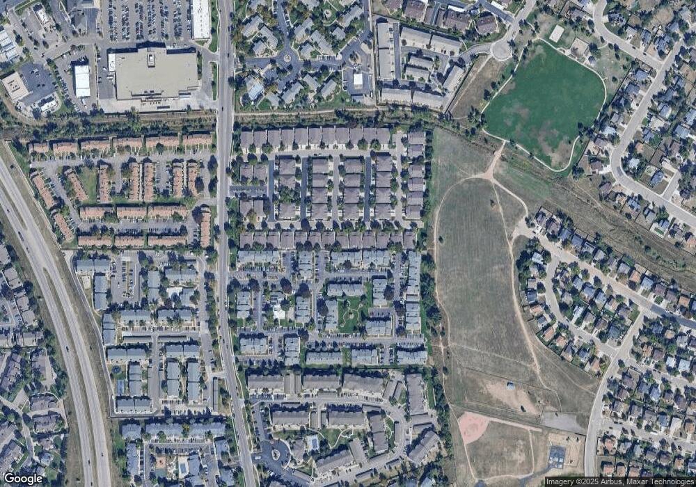
Map
Nearby Homes
- 3930 Leah Heights Unit 16
- 3914 Leah Heights Unit 108
- 1244 Samuel Point Unit 1
- 938 London Green Way
- 3884 Packers Point
- 1025 Cheyenne Villas Point
- 906 London Green Way
- 3916 Red Cedar Dr
- 720 Crown Point Dr
- 1565 Charmwood Dr
- 865 San Antonio Place
- 3630 Strawberry Field Grove Unit G
- 4573 Prestige Point
- 825 San Gabriel Place
- 3640 San Pedro Ct
- 1457 S Canoe Creek Dr
- 794 Crosstrail Dr
- 3865 Rosemere St
- 416 Cobblestone Dr
- 1250 Cheyenne Meadows Rd
- 1138 Samuel Point
- 1134 Samuel Point
- 1150 Samuel Point Unit 30
- 1130 Samuel Point Unit 35
- 1154 Samuel Point Unit 29
- 3931 Leah Heights Unit 41
- 1126 Samuel Point Unit 36
- 3930 Christy Heights Unit 42
- 1158 Samuel Point
- 3927 Leah Heights Unit 39
- 3926 Christy Heights Unit 40
- 1122 Samuel Point
- 3926 Leah Heights Unit 14
- 3923 Leah Heights Unit 45
- 3931 Nicki Heights Unit 15
- 1118 Samuel Point Unit 38
- 3922 Christy Heights Unit 46
- 3927 Nicki Heights Unit 13
- 3922 Leah Heights Unit 12
- 3927 Christy Heights