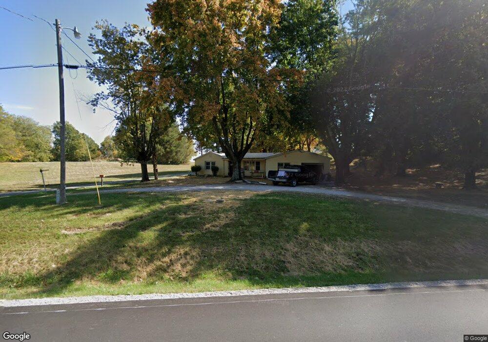
11420 Highway 56 Owensboro, KY 42301
Estimated Value: $125,000
3
Beds
2
Baths
1,211
Sq Ft
$103/Sq Ft
Est. Value
About This Home
This home is located at 11420 Highway 56, Owensboro, KY 42301 and is currently priced at $125,000, approximately $103 per square foot. 11420 Highway 56 is a home located in Daviess County with nearby schools including West Louisville Elementary School, F.T. Burns Middle School, and Apollo High School.
Ownership History
Date
Name
Owned For
Owner Type
Purchase Details
Closed on
Feb 13, 2024
Sold by
Kuegel William M and Kuegel Lois E
Bought by
Dunn Leslie
Current Estimated Value
Home Financials for this Owner
Home Financials are based on the most recent Mortgage that was taken out on this home.
Original Mortgage
$135,000
Outstanding Balance
$120,603
Interest Rate
0.61%
Mortgage Type
Construction
Purchase Details
Closed on
Aug 24, 2022
Sold by
Wathen Joseph O
Bought by
Kuegel William M
Create a Home Valuation Report for This Property
The Home Valuation Report is an in-depth analysis detailing your home's value as well as a comparison with similar homes in the area
Home Values in the Area
Average Home Value in this Area
Purchase History
| Date | Buyer | Sale Price | Title Company |
|---|---|---|---|
| Dunn Leslie | $150,000 | Attorney Only | |
| Kuegel William M | $65,000 | Attorney Only |
Source: Public Records
Mortgage History
| Date | Status | Borrower | Loan Amount |
|---|---|---|---|
| Open | Dunn Leslie | $135,000 |
Source: Public Records
Tax History Compared to Growth
Tax History
| Year | Tax Paid | Tax Assessment Tax Assessment Total Assessment is a certain percentage of the fair market value that is determined by local assessors to be the total taxable value of land and additions on the property. | Land | Improvement |
|---|---|---|---|---|
| 2025 | $1,166 | $150,000 | $0 | $0 |
| 2024 | $1,166 | $110,600 | $0 | $0 |
| 2023 | $706 | $65,000 | $0 | $0 |
| 2022 | $641 | $57,400 | $0 | $0 |
| 2021 | $600 | $53,100 | $0 | $0 |
| 2020 | $605 | $53,100 | $0 | $0 |
| 2019 | $534 | $47,500 | $0 | $0 |
| 2018 | $1,078 | $47,500 | $0 | $0 |
| 2017 | $540 | $47,500 | $0 | $0 |
| 2016 | $568 | $53,100 | $0 | $0 |
| 2015 | -- | $53,100 | $0 | $0 |
| 2014 | -- | $47,500 | $0 | $0 |
Source: Public Records
Map
Nearby Homes
- 960 Bohannon Rd
- 20091 Upper Delaware Rd
- 8761 State Route 136 W
- 1741 Kentucky 1233
- 20771 Kentucky 416
- 20788 Kentucky 416
- 20773 Kentucky 416
- 2000 Kentucky 797
- 1432 Kentucky 797
- 1018 Alves Ferry Rd
- 16745 Kentucky 416
- 9320 Hobbs Rd
- 16613 Kentucky 351
- 4607 Windy Hollow Rd
- 4552 Kentucky 1514
- 17541 Rangers Landing Rd
- 9285 Stanley-Birk City Rd
- 9263 Stanley Birk City Rd
- 17181 Upper Delaware Rd
- 2065 Northwood Dr
- 11420 State Route 56
- 11420 Kentucky 56
- 9426 Obryan Ln
- 9400 Obryan Ln
- 11592 State Route 56
- 9220 Dant Rd
- 11193 State Route 56
- 9210 Dant Rd
- 11174 State Route 56
- 11171 State Route 56
- 11164 Kentucky 56
- 11164 State Route 56
- 9150 Dant Rd
- 9134 Dant Rd
- 8561 Cummings Rd
- 8834 Cummings Rd
- 11022 State Route 56
- 7950 Cummings Rd
- 8720 Cummings Rd
- 8709 Cummings Rd