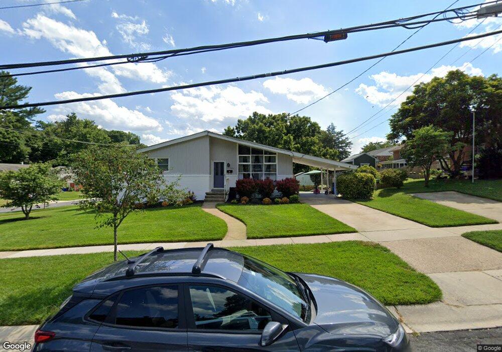
11420 Soward Dr Kensington, MD 20895
North Kensington NeighborhoodEstimated Value: $600,000 - $625,619
--
Bed
2
Baths
1,156
Sq Ft
$532/Sq Ft
Est. Value
About This Home
This home is located at 11420 Soward Dr, Kensington, MD 20895 and is currently estimated at $614,905, approximately $531 per square foot. 11420 Soward Dr is a home located in Montgomery County with nearby schools including Rock View Elementary School, Newport Mill Middle School, and Albert Einstein High School.
Ownership History
Date
Name
Owned For
Owner Type
Purchase Details
Closed on
Dec 11, 2020
Sold by
Walsh Terence P and Walsh Patricia A
Bought by
Terence P Walsh Living Trust and Patricia A Walsh Living Trust
Current Estimated Value
Purchase Details
Closed on
Nov 19, 2002
Sold by
Walsh Terence P
Bought by
Walsh Terence P and Walsh Patricia A
Purchase Details
Closed on
Apr 2, 1998
Sold by
Genia Paul and Genia Levy
Bought by
Walsh Terence P
Create a Home Valuation Report for This Property
The Home Valuation Report is an in-depth analysis detailing your home's value as well as a comparison with similar homes in the area
Home Values in the Area
Average Home Value in this Area
Purchase History
| Date | Buyer | Sale Price | Title Company |
|---|---|---|---|
| Terence P Walsh Living Trust | -- | None Available | |
| Walsh Terence P | -- | -- | |
| Walsh Terence P | $160,000 | -- |
Source: Public Records
Tax History Compared to Growth
Tax History
| Year | Tax Paid | Tax Assessment Tax Assessment Total Assessment is a certain percentage of the fair market value that is determined by local assessors to be the total taxable value of land and additions on the property. | Land | Improvement |
|---|---|---|---|---|
| 2025 | $5,467 | $431,533 | -- | -- |
| 2024 | $5,467 | $411,400 | $223,700 | $187,700 |
| 2023 | $4,691 | $406,167 | $0 | $0 |
| 2022 | $4,386 | $400,933 | $0 | $0 |
| 2021 | $4,103 | $395,700 | $222,300 | $173,400 |
| 2020 | $4,103 | $384,433 | $0 | $0 |
| 2019 | $3,944 | $373,167 | $0 | $0 |
| 2018 | $3,998 | $361,900 | $222,300 | $139,600 |
| 2017 | $3,564 | $345,633 | $0 | $0 |
| 2016 | $3,243 | $329,367 | $0 | $0 |
| 2015 | $3,243 | $313,100 | $0 | $0 |
| 2014 | $3,243 | $313,100 | $0 | $0 |
Source: Public Records
Map
Nearby Homes
- 3708 Woodridge Ave
- 3607 Sandy Ct
- 11515 Lund Place
- 3611 Lowell Place
- 3909 Adams Dr
- 11403 Mapleview Dr
- 11409 Mapleview Dr
- 11410 Cam Ct
- 11605 Gail St
- 3941 Rickover Rd
- 11411 Cam Ct
- 11104 Lund Place
- 11310 Mitscher St
- 3923 Halsey St
- 3914 Kincaid Terrace
- 11006 Madison St
- 4004 Halsey St
- 4205 Garrett Park Rd
- 11315 Palisades Ct
- 4111 Denfeld Ave
- 11318 Woodson Ave
- 11422 Soward Dr
- 3802 Woodridge Ave
- 11316 Woodson Ave
- 11400 Woodson Ave
- 3804 Woodridge Ave
- 11416 Soward Dr
- 11419 Soward Dr
- 11314 Woodson Ave
- 11402 Woodson Ave
- 3806 Woodridge Ave
- 11319 Woodson Ave
- 11414 Soward Dr
- 11315 Woodson Ave
- 11500 Soward Dr
- 11317 Woodson Ave
- 11312 Woodson Ave
- 3808 Woodridge Ave
- 3803 Woodridge Ave
- 11404 Woodson Ave