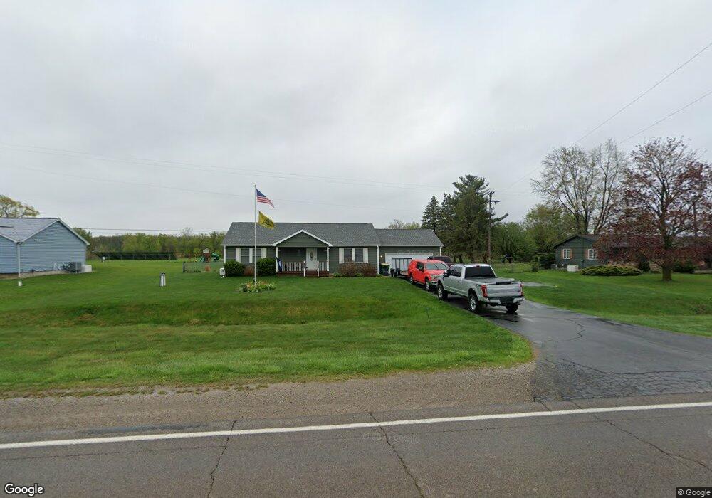
11425 Miller Rd Swartz Creek, MI 48473
Estimated Value: $262,388 - $293,000
3
Beds
2
Baths
1,440
Sq Ft
$192/Sq Ft
Est. Value
About This Home
This home is located at 11425 Miller Rd, Swartz Creek, MI 48473 and is currently estimated at $276,347, approximately $191 per square foot. 11425 Miller Rd is a home located in Genesee County with nearby schools including Bertha Neal Elementary School, Robert Kerr School, and Durand Middle School.
Ownership History
Date
Name
Owned For
Owner Type
Purchase Details
Closed on
Nov 18, 2004
Sold by
Dahn Matthew W and Dahn Erin
Bought by
Holbrooks Bobby Gene
Current Estimated Value
Home Financials for this Owner
Home Financials are based on the most recent Mortgage that was taken out on this home.
Original Mortgage
$151,050
Interest Rate
5.82%
Mortgage Type
Purchase Money Mortgage
Purchase Details
Closed on
Aug 4, 2003
Sold by
Perkins Thomas W and Perkins Wilda E
Bought by
Dahn Matthew W
Create a Home Valuation Report for This Property
The Home Valuation Report is an in-depth analysis detailing your home's value as well as a comparison with similar homes in the area
Home Values in the Area
Average Home Value in this Area
Purchase History
| Date | Buyer | Sale Price | Title Company |
|---|---|---|---|
| Holbrooks Bobby Gene | $159,000 | Select Title | |
| Dahn Matthew W | $23,000 | Guaranty Title Company |
Source: Public Records
Mortgage History
| Date | Status | Borrower | Loan Amount |
|---|---|---|---|
| Previous Owner | Holbrooks Bobby Gene | $151,050 |
Source: Public Records
Tax History Compared to Growth
Tax History
| Year | Tax Paid | Tax Assessment Tax Assessment Total Assessment is a certain percentage of the fair market value that is determined by local assessors to be the total taxable value of land and additions on the property. | Land | Improvement |
|---|---|---|---|---|
| 2025 | $211 | $118,800 | $0 | $0 |
| 2024 | $200 | $117,800 | $0 | $0 |
| 2023 | $737 | $0 | $0 | $0 |
| 2022 | $737 | $0 | $0 | $0 |
| 2021 | $172 | $0 | $0 | $0 |
| 2020 | $737 | $90,900 | $0 | $0 |
| 2019 | $726 | $82,800 | $0 | $0 |
| 2018 | $2,055 | $76,500 | $0 | $0 |
| 2017 | $1,924 | $74,900 | $0 | $0 |
| 2016 | $1,949 | $69,700 | $0 | $0 |
| 2015 | $1,739 | $61,900 | $0 | $0 |
| 2014 | $669 | $59,900 | $0 | $0 |
| 2012 | -- | $55,900 | $55,900 | $0 |
Source: Public Records
Map
Nearby Homes
- 11415 Miller Rd
- 5051 Nichols Rd
- 4014 S Duffield Rd
- 4101 S Sheridan Rd Unit 132
- 10529 Hill Rd
- 1936 Elmwood Dr
- 11637 E Lansing Rd
- 9312 Sue Ct
- V/L S Sheridan Rd
- 10208 Reid Rd
- 2548 S Sheridan Rd
- 9307 Hill Rd
- 11295 E Lytle Rd
- 805 Oak St
- 9148 Chelmsford Dr
- 9091 Miller Rd
- 5380 Durwood Dr
- 6260 Hidden Forrest Dr
- 5409 Durwood Dr
- 5150 Oxford Ct
- 11433 Miller Rd
- 0000 Miller Rd
- 000 Miller Rd
- 11361 Miller Rd
- 11357 Miller Rd
- 12011 Miller Rd
- 11309 Miller Rd
- 12014 Miller Rd
- 12023 Miller Rd
- 5135 Duffield Rd
- 4486 S Duffield Rd
- 4486 S Duffield Rd
- 11301 Miller Rd
- 5035 Duffield Rd
- 5045 Duffield Rd
- 5055 Duffield Rd
- 5065 Duffield Rd Unit Bldg-Unit
- 5065 Duffield Rd
- 12046 Miller Rd
- 5075 Duffield Rd