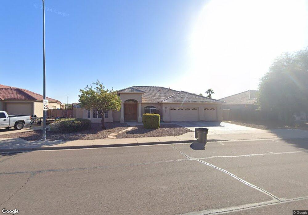
11427 E Adobe Rd Mesa, AZ 85207
Northeast Mesa NeighborhoodEstimated Value: $584,000 - $672,000
Studio
4
Baths
2,727
Sq Ft
$225/Sq Ft
Est. Value
About This Home
This home is located at 11427 E Adobe Rd, Mesa, AZ 85207 and is currently estimated at $614,056, approximately $225 per square foot. 11427 E Adobe Rd is a home located in Maricopa County with nearby schools including Sousa Elementary School, Franklin at Brimhall Elementary School, and Franklin West Elementary School.
Ownership History
Date
Name
Owned For
Owner Type
Purchase Details
Closed on
May 30, 2001
Sold by
Vip Construction Inc
Bought by
Hardman Patrick Wayne and Hardman Ruth Ann
Current Estimated Value
Home Financials for this Owner
Home Financials are based on the most recent Mortgage that was taken out on this home.
Original Mortgage
$232,000
Outstanding Balance
$88,373
Interest Rate
7.14%
Mortgage Type
New Conventional
Estimated Equity
$525,683
Create a Home Valuation Report for This Property
The Home Valuation Report is an in-depth analysis detailing your home's value as well as a comparison with similar homes in the area
Home Values in the Area
Average Home Value in this Area
Purchase History
| Date | Buyer | Sale Price | Title Company |
|---|---|---|---|
| Hardman Patrick Wayne | $55,000 | First American Title |
Source: Public Records
Mortgage History
| Date | Status | Borrower | Loan Amount |
|---|---|---|---|
| Open | Hardman Patrick Wayne | $232,000 |
Source: Public Records
Tax History
| Year | Tax Paid | Tax Assessment Tax Assessment Total Assessment is a certain percentage of the fair market value that is determined by local assessors to be the total taxable value of land and additions on the property. | Land | Improvement |
|---|---|---|---|---|
| 2025 | $2,265 | $26,923 | -- | -- |
| 2024 | $2,289 | $25,640 | -- | -- |
| 2023 | $2,289 | $50,560 | $10,110 | $40,450 |
| 2022 | $2,241 | $37,780 | $7,550 | $30,230 |
| 2021 | $2,297 | $34,260 | $6,850 | $27,410 |
| 2020 | $2,267 | $29,850 | $5,970 | $23,880 |
| 2019 | $2,352 | $27,930 | $5,580 | $22,350 |
| 2018 | $2,242 | $26,260 | $5,250 | $21,010 |
| 2017 | $2,252 | $25,030 | $5,000 | $20,030 |
| 2016 | $2,225 | $25,400 | $5,080 | $20,320 |
| 2015 | $2,097 | $23,830 | $4,760 | $19,070 |
Source: Public Records
Map
Nearby Homes
- 11443 E Ellis St
- 11515 E Ellis St
- 11363 E Dartmouth St
- 11349 E Des Moines Cir
- 11248 E Dartmouth Cir
- 2975 W Manzanita St
- 11340 E Caballero St
- 2926 W Roundup St
- 456 N Opal
- 11465 E Cicero St Unit I
- 820 N 111th St
- 11425 E University Dr Unit 114
- 11425 E University Dr Unit 57
- 11425 E University Dr Unit 49
- 11425 E University Dr Unit 124
- 2900 W Superstition Blvd Unit 46
- 2900 W Superstition Blvd Unit 35
- 11058 E Cholla Rd
- 813 N 110th St
- 833 N 110th St
- 11419 E Adobe Rd Unit III
- 11437 E Adobe Rd
- 11420 E Downing St
- 11428 E Downing St
- 11412 E Downing St
- 11407 E Adobe Rd
- 11436 E Downing St Unit II
- 11445 E Adobe Rd Unit III
- 11427 E Ellis St
- 11435 E Ellis St
- 11448 E Downing St
- 736 N Clancy
- 11453 E Adobe Rd
- 11365 E Adobe Rd
- 11413 E Ellis St
- 11421 E Downing St
- 11362 E Downing Cir
- 11429 E Downing St
- 11458 E Downing St Unit II
- 11437 E Downing St
Your Personal Tour Guide
Ask me questions while you tour the home.