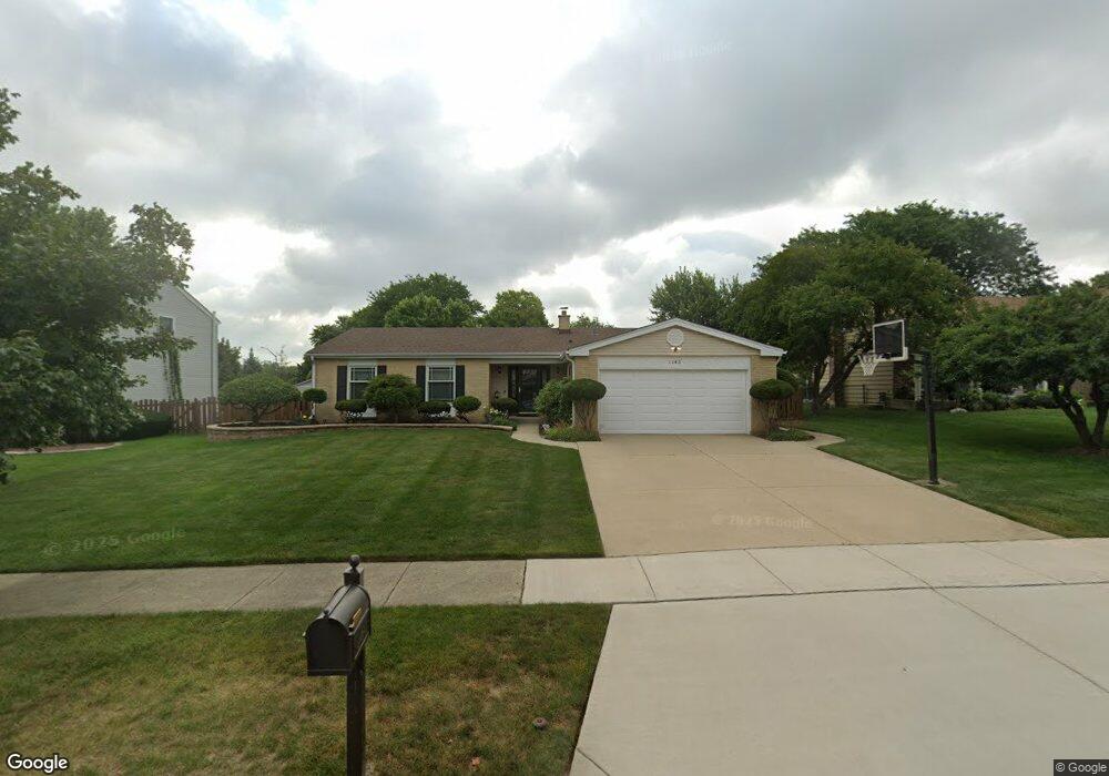
1143 Jamestown Ct Schaumburg, IL 60193
South Schaumburg NeighborhoodEstimated Value: $547,156 - $645,000
4
Beds
2
Baths
2,309
Sq Ft
$254/Sq Ft
Est. Value
About This Home
This home is located at 1143 Jamestown Ct, Schaumburg, IL 60193 and is currently estimated at $587,039, approximately $254 per square foot. 1143 Jamestown Ct is a home located in Cook County with nearby schools including Michael Collins Elementary School, Robert Frost Junior High School, and J B Conant High School.
Ownership History
Date
Name
Owned For
Owner Type
Purchase Details
Closed on
Nov 9, 2012
Sold by
Hamada Kenneth M and Hamada Peggy M
Bought by
Hamada Peggy M and Hamada Kenneth M
Current Estimated Value
Purchase Details
Closed on
Sep 10, 1996
Sold by
Hamada Kenneth M and Hamada Peggy M
Bought by
Hamada Kenneth M and Hamada Peggy M
Create a Home Valuation Report for This Property
The Home Valuation Report is an in-depth analysis detailing your home's value as well as a comparison with similar homes in the area
Home Values in the Area
Average Home Value in this Area
Purchase History
| Date | Buyer | Sale Price | Title Company |
|---|---|---|---|
| Hamada Peggy M | -- | None Available | |
| Hamada Kenneth M | -- | -- |
Source: Public Records
Tax History Compared to Growth
Tax History
| Year | Tax Paid | Tax Assessment Tax Assessment Total Assessment is a certain percentage of the fair market value that is determined by local assessors to be the total taxable value of land and additions on the property. | Land | Improvement |
|---|---|---|---|---|
| 2024 | $9,253 | $39,000 | $11,880 | $27,120 |
| 2023 | $8,922 | $39,000 | $11,880 | $27,120 |
| 2022 | $8,922 | $39,000 | $11,880 | $27,120 |
| 2021 | $8,181 | $32,986 | $6,480 | $26,506 |
| 2020 | $8,162 | $32,986 | $6,480 | $26,506 |
| 2019 | $8,170 | $36,652 | $6,480 | $30,172 |
| 2018 | $6,836 | $28,963 | $5,670 | $23,293 |
| 2017 | $6,761 | $28,963 | $5,670 | $23,293 |
| 2016 | $6,818 | $28,963 | $5,670 | $23,293 |
| 2015 | $6,842 | $25,494 | $4,860 | $20,634 |
| 2014 | $6,783 | $25,494 | $4,860 | $20,634 |
| 2013 | $6,592 | $25,494 | $4,860 | $20,634 |
Source: Public Records
Map
Nearby Homes
- 1078 Newport Harbor Unit 6101
- 421 E Wise Rd
- 1100 Boston Harbor Unit 7004
- 286 Nantucket Harbor Unit 601
- 1205 Laurel Ln
- 620 S Point Dr
- 1323 S Roselle Rd
- 731 Highpoint Ct
- 1420 Indian Hill Dr
- 13 W Monterey Ave
- 826 Thornton Ct Unit 2AL
- 717 Tipperary Ct Unit 1C
- 924 Surrey Dr Unit 1A
- 733 Limerick Ln Unit 7333D
- 409 New York Ln
- 211 Steeple Bush Ln Unit 10343
- 205 Steeple Bush Ln Unit 10444
- 134 Lunt Ave
- 712 Tipperary Ct Unit 1C
- 711 Tipperary Ct Unit 2D
- 1139 Jamestown Ct
- 1147 Jamestown Ct
- 1135 Jamestown Ct
- 1146 Jamestown Ct
- 1146 Durham Ct
- 1142 Jamestown Ct
- 1150 Jamestown Ct
- 1150 Durham Ct
- 1138 Jamestown Ct
- 1142 Durham Ct
- 1131 Jamestown Ct
- 1200 Summit Dr
- 1143 Crest Ct
- 1147 Crest Ct
- 1134 Jamestown Ct
- 1127 Jamestown Ct
- 1151 Crest Ct
- 1139 Durham Ct
- 1128 Jamestown Ct
- 1209 Summit Dr