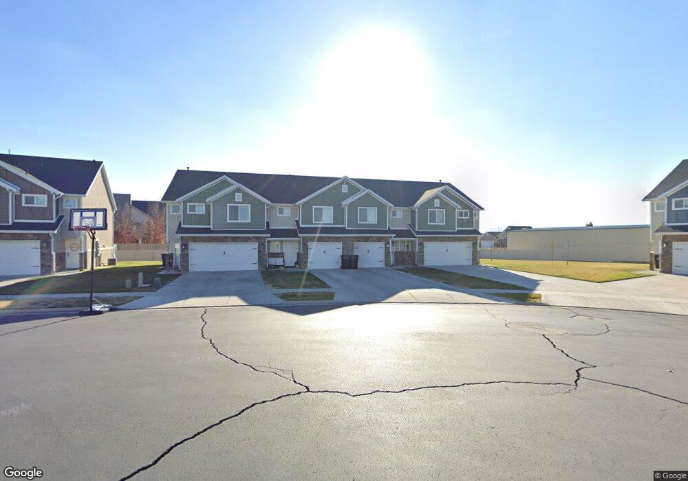
1143 W 2050 S Syracuse, UT 84075
Estimated Value: $375,000 - $405,522
3
Beds
3
Baths
1,410
Sq Ft
$279/Sq Ft
Est. Value
About This Home
This home is located at 1143 W 2050 S, Syracuse, UT 84075 and is currently estimated at $393,631, approximately $279 per square foot. 1143 W 2050 S is a home located in Davis County with nearby schools including Bluff Ridge Elementary, Legacy Junior High School, and Clearfield High School.
Ownership History
Date
Name
Owned For
Owner Type
Purchase Details
Closed on
Mar 29, 2021
Sold by
Denaughel Scott Alan and The Scott A Denaughel Trust
Bought by
Mora Richard A and Mora Tyler R
Current Estimated Value
Home Financials for this Owner
Home Financials are based on the most recent Mortgage that was taken out on this home.
Original Mortgage
$16,735
Outstanding Balance
$15,086
Interest Rate
3.17%
Mortgage Type
New Conventional
Estimated Equity
$378,545
Purchase Details
Closed on
Oct 29, 2019
Sold by
Denaughel Scott A
Bought by
Denaughel Scott Alan and Scott A Denaughel Trust
Create a Home Valuation Report for This Property
The Home Valuation Report is an in-depth analysis detailing your home's value as well as a comparison with similar homes in the area
Home Values in the Area
Average Home Value in this Area
Purchase History
| Date | Buyer | Sale Price | Title Company |
|---|---|---|---|
| Mora Richard A | -- | Us Title Company O | |
| Denaughel Scott Alan | -- | Accommodation |
Source: Public Records
Mortgage History
| Date | Status | Borrower | Loan Amount |
|---|---|---|---|
| Open | Mora Richard A | $16,735 | |
| Open | Mora Richard A | $309,116 |
Source: Public Records
Tax History Compared to Growth
Tax History
| Year | Tax Paid | Tax Assessment Tax Assessment Total Assessment is a certain percentage of the fair market value that is determined by local assessors to be the total taxable value of land and additions on the property. | Land | Improvement |
|---|---|---|---|---|
| 2025 | $1,955 | $188,650 | $76,450 | $112,200 |
| 2024 | $1,959 | $190,300 | $60,500 | $129,800 |
| 2023 | $1,927 | $341,000 | $113,000 | $228,000 |
| 2022 | $1,984 | $192,500 | $52,800 | $139,700 |
| 2021 | $1,711 | $257,000 | $79,000 | $178,000 |
| 2020 | $1,554 | $226,000 | $74,700 | $151,300 |
| 2019 | $1,560 | $224,000 | $75,000 | $149,000 |
| 2018 | $1,361 | $194,000 | $85,000 | $109,000 |
| 2016 | $1,178 | $88,000 | $19,250 | $68,750 |
| 2015 | $492 | $35,000 | $35,000 | $0 |
| 2014 | $460 | $33,333 | $33,333 | $0 |
| 2013 | -- | $32,500 | $32,500 | $0 |
Source: Public Records
Map
Nearby Homes
- 1139 W 2050 S
- 1121 W 2050 S
- 1158 W 2050 S
- 1117 W 2050 S
- 2094 S 1100 W
- 1154 W 2050 S
- 1118 W 2050 S Unit 25
- 1107 W 2050 S
- 2106 S 1100 W Unit 708
- 1126 W 2050 S
- 1116 W 2050 S Unit 26
- 1116 W 2050 S
- 2105 S 1170 W
- 1101 W 2050 S
- 1128 W 2050 S
- 2103 S 1100 W
- 1146 W 2050 S
- 1114 W 2050 S
- 1097 W 2050 S
- 1132 W 2050 S