11433 Mcleod St Spring Hill, FL 34609
Estimated Value: $281,881 - $317,000
3
Beds
2
Baths
1,714
Sq Ft
$177/Sq Ft
Est. Value
About This Home
This home is located at 11433 Mcleod St, Spring Hill, FL 34609 and is currently estimated at $302,720, approximately $176 per square foot. 11433 Mcleod St is a home located in Hernando County with nearby schools including Suncoast Elementary School, Powell Middle School, and Frank W. Springstead High School.
Ownership History
Date
Name
Owned For
Owner Type
Purchase Details
Closed on
Oct 28, 2004
Sold by
Ryland Communities Inc
Bought by
Heath Robert L and Heath Sharon C
Current Estimated Value
Home Financials for this Owner
Home Financials are based on the most recent Mortgage that was taken out on this home.
Original Mortgage
$50,000
Outstanding Balance
$24,167
Interest Rate
5.62%
Mortgage Type
Purchase Money Mortgage
Estimated Equity
$278,553
Create a Home Valuation Report for This Property
The Home Valuation Report is an in-depth analysis detailing your home's value as well as a comparison with similar homes in the area
Home Values in the Area
Average Home Value in this Area
Purchase History
| Date | Buyer | Sale Price | Title Company |
|---|---|---|---|
| Heath Robert L | $163,100 | Ryland Title Company |
Source: Public Records
Mortgage History
| Date | Status | Borrower | Loan Amount |
|---|---|---|---|
| Open | Heath Robert L | $50,000 |
Source: Public Records
Tax History
| Year | Tax Paid | Tax Assessment Tax Assessment Total Assessment is a certain percentage of the fair market value that is determined by local assessors to be the total taxable value of land and additions on the property. | Land | Improvement |
|---|---|---|---|---|
| 2025 | $1,903 | $125,253 | -- | -- |
| 2024 | $1,804 | $121,723 | -- | -- |
| 2023 | $1,804 | $118,178 | $0 | $0 |
| 2022 | $1,712 | $114,736 | $0 | $0 |
| 2021 | $1,177 | $111,394 | $0 | $0 |
| 2020 | $1,584 | $109,856 | $0 | $0 |
| 2019 | $1,578 | $107,386 | $0 | $0 |
| 2018 | $1,010 | $105,384 | $0 | $0 |
| 2017 | $1,271 | $103,216 | $0 | $0 |
| 2016 | $1,227 | $101,093 | $0 | $0 |
| 2015 | $1,233 | $100,390 | $0 | $0 |
| 2014 | $1,208 | $99,593 | $0 | $0 |
Source: Public Records
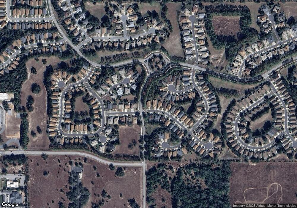
Map
Nearby Homes
- 239 Longleaf Ct
- 114 Center Oak Cir
- 0 Centerwood Ave Unit MFRTB8450965
- 232 Center Oak Cir
- 11330 Leeds Dr
- 11741 Teapot Ct
- 11750 Teapot Ct
- 11343 Leeds Dr
- 320 Mcintosh Ct
- 447 Greenwich Cir
- 322 Greenwich Cir
- 11420 Chalk Farm Rd
- 456 Greenwich Cir
- 18240 County Line Rd
- 300 Hartford Ct
- 11261 McRacken Dr
- 11675 Lavender Loop
- 371 Quane Ave
- 617 Glastonbury Ct
- 404 Bloomfield Dr
- 11457 Mcleod St
- 11475 Mcleod St
- 11389 Mcnally Dr
- 11436 Mcleod St
- 11495 Mcleod St
- 11472 Mcleod St
- 11410 Inman Ct
- 11388 Mcnally Dr
- 270 Longleaf Ct
- 11381 Mcnally Dr
- 11509 Mcleod St
- 11416 Inman Ct
- 11510 Mcleod St
- 262 Longleaf Ct
- 11380 Mcnally Dr
- 11422 Inman Ct
- 11527 Mcleod St
- 11373 Mcnally Dr
- 11400 Inman Ct
- 276 Longleaf Ct
Your Personal Tour Guide
Ask me questions while you tour the home.