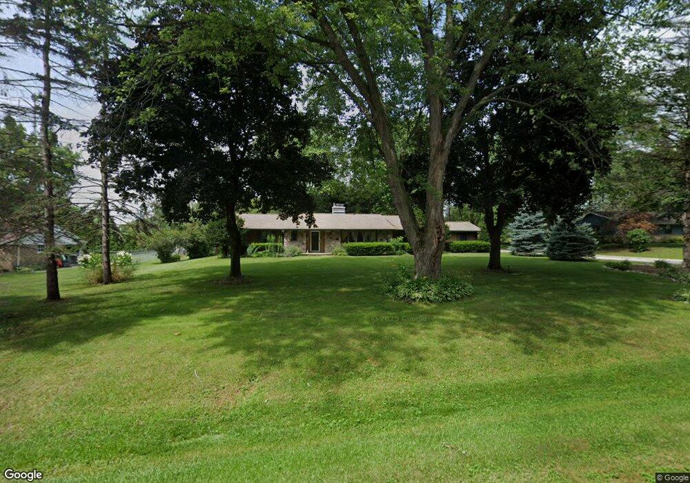
11433 N Tower Ln Mequon, WI 53097
Estimated Value: $523,000 - $561,000
--
Bed
--
Bath
--
Sq Ft
1
Acres
About This Home
This home is located at 11433 N Tower Ln, Mequon, WI 53097 and is currently estimated at $539,708. 11433 N Tower Ln is a home located in Ozaukee County with nearby schools including Wilson Elementary School, Steffen Middle School, and Homestead High School.
Ownership History
Date
Name
Owned For
Owner Type
Purchase Details
Closed on
Jun 22, 2018
Sold by
Hale Philip A and Hale Sally A
Bought by
Holden Julius and Holden Alice
Current Estimated Value
Purchase Details
Closed on
Aug 26, 2013
Sold by
Voltes Leonard P and Eisen Phyllis J
Bought by
Hale Philip A and Hale Sally A
Create a Home Valuation Report for This Property
The Home Valuation Report is an in-depth analysis detailing your home's value as well as a comparison with similar homes in the area
Home Values in the Area
Average Home Value in this Area
Purchase History
| Date | Buyer | Sale Price | Title Company |
|---|---|---|---|
| Holden Julius | $373,000 | None Available | |
| Hale Philip A | $300,000 | None Available |
Source: Public Records
Tax History Compared to Growth
Tax History
| Year | Tax Paid | Tax Assessment Tax Assessment Total Assessment is a certain percentage of the fair market value that is determined by local assessors to be the total taxable value of land and additions on the property. | Land | Improvement |
|---|---|---|---|---|
| 2024 | $4,487 | $325,200 | $103,000 | $222,200 |
| 2023 | $4,196 | $325,200 | $103,000 | $222,200 |
| 2022 | $4,175 | $325,200 | $103,000 | $222,200 |
| 2021 | $4,209 | $325,200 | $103,000 | $222,200 |
| 2020 | $4,373 | $293,100 | $103,000 | $190,100 |
| 2019 | $4,185 | $293,100 | $103,000 | $190,100 |
| 2018 | $4,003 | $283,400 | $103,000 | $180,400 |
| 2017 | $4,058 | $283,400 | $103,000 | $180,400 |
| 2016 | $4,088 | $283,400 | $103,000 | $180,400 |
| 2015 | $4,066 | $283,400 | $103,000 | $180,400 |
| 2014 | $4,052 | $283,400 | $103,000 | $180,400 |
| 2013 | $4,239 | $283,400 | $103,000 | $180,400 |
Source: Public Records
Map
Nearby Homes
- 8024 W Poplar Dr
- 10874 Tartan Ct
- 10946 N Essex Dr
- 11516 N Spring Ave
- 7690 Preserve Pkwy
- 8191 W Skylark Ct
- 8191 Skylark Ct
- The Margot Plan at The Enclave at Mequon Preserve South
- The Jackson Plan at The Enclave at Mequon Preserve South
- The Bryant II Plan at The Enclave at Mequon Preserve South
- 7626 W Donges Bay Rd
- 6253 Foxtown Dr
- 144 N Main St
- 8211 W Skylark Dr
- 9866 N Cygnet Ct
- 8246 W Bluebird Ct
- 9938 Migratory Ln
- 199 Two Hundred Green Way
- 116 E Freistadt Rd Unit F
- 116 E Freistadt Rd Unit B
- 11442 N Tower Ln
- 11445 N Tower Ln
- 11425 N Tower Ln
- 8250 W Holly Rd
- 8160 W Holly Rd
- 8162 W Hillview Dr
- 8153 W Holly Rd
- 8171 W Hillview Dr
- 8158 W Holly Rd
- 8165 W Hillview Dr
- 8239 W Hillview Dr
- 8322 W Holly Rd
- 8246 W Hillview Dr
- 8156 W Hillview Dr
- 8159 W Hillview Dr
- 8306 W Holly Rd
- 8319 W Holly Rd
- 8249 W Hillview Dr
- 8139 W Holly Rd
- 8100 W Hillview Dr