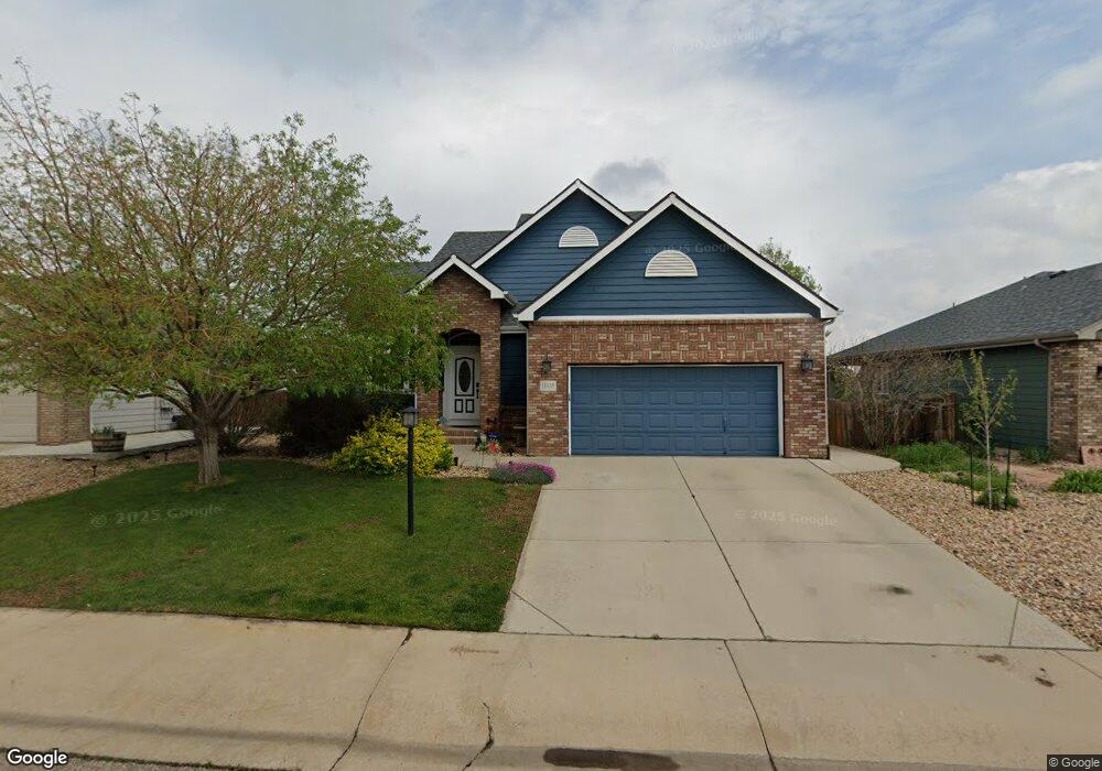
11439 Deerfield Dr Firestone, CO 80504
Estimated Value: $504,000 - $524,000
3
Beds
3
Baths
1,520
Sq Ft
$340/Sq Ft
Est. Value
About This Home
This home is located at 11439 Deerfield Dr, Firestone, CO 80504 and is currently estimated at $516,194, approximately $339 per square foot. 11439 Deerfield Dr is a home located in Weld County with nearby schools including Prairie Ridge Elementary School, Coal Ridge Middle School, and Frederick Senior High School.
Ownership History
Date
Name
Owned For
Owner Type
Purchase Details
Closed on
Jul 15, 2016
Sold by
Allen Sydney M
Bought by
Allen Sydney M and Allen Micahel D
Current Estimated Value
Purchase Details
Closed on
Feb 25, 2011
Sold by
Secretary Of Housing & Urban Development
Bought by
Allen Sydney M
Purchase Details
Closed on
Jul 19, 2010
Sold by
Frey Randall W and Frey Debra G
Bought by
Bac Home Loans Servicing Lp
Purchase Details
Closed on
Jun 23, 2010
Sold by
Bac Home Loan Servicing Lp
Bought by
Secretary Of Housing & Urban Development
Purchase Details
Closed on
Jul 14, 2003
Sold by
Country Meadow Homes Inc
Bought by
Frey Randall W and Frey Debra G
Home Financials for this Owner
Home Financials are based on the most recent Mortgage that was taken out on this home.
Original Mortgage
$222,000
Interest Rate
7.5%
Mortgage Type
Unknown
Create a Home Valuation Report for This Property
The Home Valuation Report is an in-depth analysis detailing your home's value as well as a comparison with similar homes in the area
Home Values in the Area
Average Home Value in this Area
Purchase History
| Date | Buyer | Sale Price | Title Company |
|---|---|---|---|
| Allen Sydney M | -- | First American Title | |
| Allen Sydney M | $170,127 | None Available | |
| Bac Home Loans Servicing Lp | -- | None Available | |
| Secretary Of Housing & Urban Development | -- | None Available | |
| Frey Randall W | $222,000 | -- |
Source: Public Records
Mortgage History
| Date | Status | Borrower | Loan Amount |
|---|---|---|---|
| Previous Owner | Frey Randall W | $222,000 |
Source: Public Records
Tax History
| Year | Tax Paid | Tax Assessment Tax Assessment Total Assessment is a certain percentage of the fair market value that is determined by local assessors to be the total taxable value of land and additions on the property. | Land | Improvement |
|---|---|---|---|---|
| 2025 | $3,385 | $34,100 | $7,380 | $26,720 |
| 2024 | $3,385 | $34,100 | $7,380 | $26,720 |
| 2023 | $3,247 | $36,470 | $7,980 | $28,490 |
| 2022 | $2,869 | $27,430 | $5,210 | $22,220 |
| 2021 | $2,897 | $28,220 | $5,360 | $22,860 |
| 2020 | $2,656 | $26,080 | $4,290 | $21,790 |
| 2019 | $2,497 | $24,160 | $4,290 | $19,870 |
| 2018 | $2,186 | $21,950 | $4,320 | $17,630 |
| 2017 | $2,234 | $21,950 | $4,320 | $17,630 |
| 2016 | $2,150 | $20,780 | $4,460 | $16,320 |
| 2015 | $2,084 | $20,780 | $4,460 | $16,320 |
| 2014 | $1,455 | $14,520 | $1,910 | $12,610 |
Source: Public Records
Map
Nearby Homes
- 6188 Twilight Ave
- 11392 Ebony St
- 6348 Union Ave
- 6911 Utica Ave
- 5950 Twilight Ave
- 6749 Utica Ave
- 6744 Utica Ave
- 6757 Utica Ave
- 6765 Utica Cir
- 6773 Utica Cir
- 6781 Utica Cir
- 6785 Utica Cir
- 6793 Utica Cir
- 6801 Utica Cir
- 10818 Cimarron St Unit 1006
- 5965 Thistle Ridge Ave
- 6718 Thistle Ridge Ave
- 5767 Pelican Shores Dr
- 6727 Thistle Ridge Ave
- 10516 Sunburst Ave
- 11441 Deerfield Dr
- 11437 Deerfield Dr
- 11443 Deerfield Dr
- 11435 Deerfield Dr
- 11472 Daisy Ct
- 11428 Deerfield Dr
- 11426 Deerfield Dr
- 11430 Deerfield Dr
- 11433 Deerfield Dr
- 11445 Deerfield Dr
- 11419 Dover St
- 11422 Deerfield Dr
- 11478 Daisy Ct
- 11468 Daisy Ct
- 11429 Deerfield Dr
- 11466 Daisy Ct
- 11407 Dover St
- 6171 Viewpoint Ave
- 6187 Viewpoint Ave
- 11414 Deerfield Dr
Your Personal Tour Guide
Ask me questions while you tour the home.