1144 Monroe Hwy Unit 1 Bethlehem, GA 30620
Estimated Value: $791,000 - $871,685
--
Bed
2
Baths
3,826
Sq Ft
$217/Sq Ft
Est. Value
About This Home
This home is located at 1144 Monroe Hwy Unit 1, Bethlehem, GA 30620 and is currently estimated at $831,343, approximately $217 per square foot. 1144 Monroe Hwy Unit 1 is a home located in Barrow County with nearby schools including Bethlehem Elementary School, Haymon-Morris Middle School, and Apalachee High School.
Ownership History
Date
Name
Owned For
Owner Type
Purchase Details
Closed on
May 24, 2019
Sold by
King James W
Bought by
Aldridge Randall L and Aldridge Maile C
Current Estimated Value
Home Financials for this Owner
Home Financials are based on the most recent Mortgage that was taken out on this home.
Original Mortgage
$426,421
Outstanding Balance
$376,633
Interest Rate
4.2%
Mortgage Type
New Conventional
Estimated Equity
$454,710
Purchase Details
Closed on
Oct 23, 1978
Bought by
King James W
Create a Home Valuation Report for This Property
The Home Valuation Report is an in-depth analysis detailing your home's value as well as a comparison with similar homes in the area
Home Values in the Area
Average Home Value in this Area
Purchase History
| Date | Buyer | Sale Price | Title Company |
|---|---|---|---|
| Aldridge Randall L | $56,850 | -- | |
| Singletary Jon Marc | $83,150 | -- | |
| King James W | -- | -- |
Source: Public Records
Mortgage History
| Date | Status | Borrower | Loan Amount |
|---|---|---|---|
| Open | Singletary Jon Marc | $426,421 | |
| Closed | Aldridge Randall L | $228,542 |
Source: Public Records
Tax History Compared to Growth
Tax History
| Year | Tax Paid | Tax Assessment Tax Assessment Total Assessment is a certain percentage of the fair market value that is determined by local assessors to be the total taxable value of land and additions on the property. | Land | Improvement |
|---|---|---|---|---|
| 2024 | $6,816 | $279,657 | $61,171 | $218,486 |
| 2023 | $7,770 | $279,657 | $61,171 | $218,486 |
| 2022 | $6,025 | $216,850 | $76,464 | $140,386 |
| 2021 | $5,624 | $191,075 | $61,172 | $129,903 |
| 2020 | $2,790 | $94,339 | $35,377 | $58,962 |
| 2019 | $1,672 | $54,983 | $54,983 | $0 |
| 2018 | $1,663 | $54,983 | $54,983 | $0 |
| 2017 | $1,601 | $54,983 | $54,983 | $0 |
| 2016 | $1,531 | $50,789 | $50,789 | $0 |
| 2015 | $1,557 | $50,789 | $50,789 | $0 |
| 2014 | $1,021 | $31,997 | $31,997 | $0 |
| 2013 | -- | $33,884 | $31,996 | $1,888 |
Source: Public Records
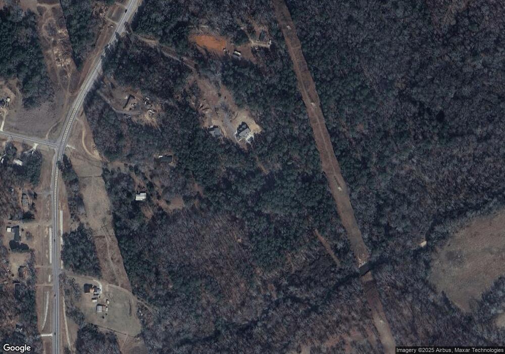
Map
Nearby Homes
- 1217 Cabin Bridge Rd
- 1408 Wyndham Way
- 1101 Ravenwood Dr
- 1109 Ravenwood Dr
- 0 McElhannon Rd SW Unit 10581793
- 468 Grand Oaks Ave
- 303 Carly Ct
- 3800 George Williams Rd
- 164 Manning Gin Rd
- 784 Manger Ave
- 1050 Bethlehem Church Rd
- 449 & 455 Carl-Bethlehem Rd
- 0 Tanners Bridge Cr
- 0 Manger Ave E Unit 20154677
- 0 Manger Ave E Unit 20127001
- 483 Raider Way
- 0 Tanners Bridge Cir Unit 10536031
- 0 Tanners Bridge Cir Unit 10395514
- 0 Tanners Bridge Cir Unit 7471398
- 724 Manger Ave
- 1144 Monroe Hwy
- 1160 Monroe Hwy
- 1176 Monroe Hwy
- 001 Tanners Bridge Rd
- Tract 1 Tanners Bridge Rd
- Tract 2 Tanners Bridge Rd
- 1133 Monroe Hwy
- 1021 Monroe Hwy
- 1224 Monroe Hwy
- 10 Tanners Bridge Rd
- 1189 Monroe Hwy
- 1088 Monroe Hwy
- 1206 Monroe Hwy
- 14 Tanners Bridge Rd
- 1105 Monroe Hwy
- 1195 Monroe Hwy Unit /4
- 1195 Monroe Hwy
- 25 Tanners Bridge Rd
- 28 Tanners Bridge Rd
- 29 Tanners Bridge Rd