1144 N Fork Rd Glen Haven, CO 80532
Estimated Value: $528,000 - $631,000
1
Bed
1
Bath
1,429
Sq Ft
$390/Sq Ft
Est. Value
About This Home
This home is located at 1144 N Fork Rd, Glen Haven, CO 80532 and is currently estimated at $557,307, approximately $389 per square foot. 1144 N Fork Rd is a home with nearby schools including Estes Park K-5 School, Estes Park Middle School, and Estes Park High School.
Ownership History
Date
Name
Owned For
Owner Type
Purchase Details
Closed on
Mar 30, 2017
Sold by
Sinner Norman Dale and Sinner Leila Beth
Bought by
Sinner Norman Dale and Sinner Leila Beth
Current Estimated Value
Purchase Details
Closed on
Jul 14, 2005
Sold by
Sinner Randall
Bought by
Sinner Norman Leila Beth and Sinner Dale
Purchase Details
Closed on
Aug 27, 1999
Sold by
Sinner Leila Beth and Sinner Norman Dale
Bought by
Sinner Leila Beth and Sinner Norman Beth
Purchase Details
Closed on
Jul 6, 1999
Sold by
Erbes Cynthia C
Bought by
Sinner Leila Beth and Sinner Norman Dale
Purchase Details
Closed on
Sep 1, 1992
Sold by
Erbes Ronald L
Bought by
Erbes Cynthia C
Create a Home Valuation Report for This Property
The Home Valuation Report is an in-depth analysis detailing your home's value as well as a comparison with similar homes in the area
Purchase History
| Date | Buyer | Sale Price | Title Company |
|---|---|---|---|
| Sinner Norman Dale | -- | None Available | |
| Sinner Norman Leila Beth | -- | -- | |
| Sinner Leila Beth | -- | -- | |
| Sinner Leila Beth | $152,000 | -- | |
| Erbes Cynthia C | -- | -- |
Source: Public Records
Tax History
| Year | Tax Paid | Tax Assessment Tax Assessment Total Assessment is a certain percentage of the fair market value that is determined by local assessors to be the total taxable value of land and additions on the property. | Land | Improvement |
|---|---|---|---|---|
| 2025 | $1,976 | $32,294 | $4,688 | $27,606 |
| 2024 | $1,952 | $39,289 | $5,025 | $34,264 |
| 2022 | $1,563 | $28,801 | $2,363 | $26,438 |
| 2021 | $1,606 | $29,630 | $2,431 | $27,199 |
| 2020 | $1,500 | $27,828 | $2,431 | $25,397 |
| 2019 | $1,489 | $27,828 | $2,431 | $25,397 |
| 2018 | $1,277 | $24,365 | $2,232 | $22,133 |
| 2017 | $1,284 | $24,365 | $2,232 | $22,133 |
| 2016 | $750 | $18,356 | $2,468 | $15,888 |
| 2015 | $740 | $18,360 | $2,470 | $15,890 |
| 2014 | $692 | $17,970 | $2,470 | $15,500 |
Source: Public Records
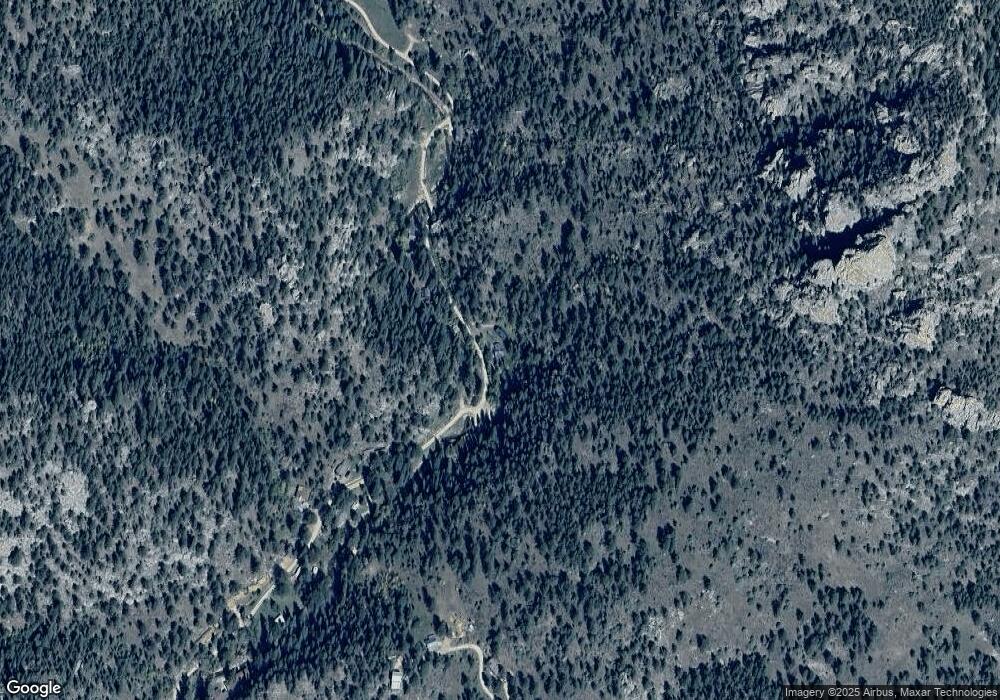
Map
Nearby Homes
- 105 Fox Creek Rd
- 755 Fox Creek Rd
- 957 Dunraven Glade Rd
- 7294 County Road 43
- 0 Dunraven Glade Rd Unit 1047641
- 1102 Miller Fork Rd
- 6781 County Road 43
- 317 Dunraven Glade Rd
- 0 Miller Fork Rd Unit 1047651
- 1068 Elkridge Dr
- 84 Copper Hill Rd
- 1035 Streamside Dr
- 163 W Creek Rd
- 280 Streamside Dr
- 10697 County Road 43
- 2973 Lory Ln
- 12547 County Road 43
- 2127 US Highway 34
- 2069 US Highway 34
- 2127 W Highway 34
- 1193 N Fork Rd
- 1114 N Fork Rd
- 1221 N Fork Rd
- 1105 N Fork Rd
- 1045 N Fork Rd
- 1006 N Fork Rd
- 1298 N Fork Rd
- 1283 N Fork Rd
- 1011 N Fork Rd
- 994 N Fork Rd
- 975 N Fork Rd
- 230 High Point Dr
- 215 High Point Dr
- 954 N Fork Rd
- 1348 N Fork Rd
- 938 N Fork Rd
- 927 N Fork Rd
- 210 High Point Dr
- 161 High Point Dr
- 167 High Point Dr
Your Personal Tour Guide
Ask me questions while you tour the home.