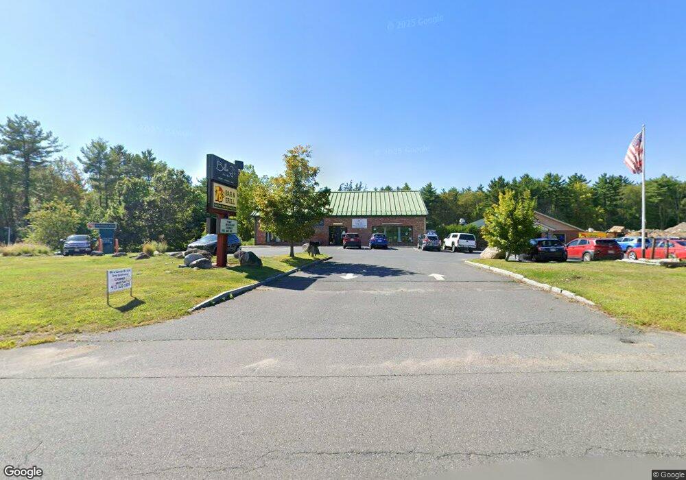
1144 Southampton Rd Westfield, MA 01085
--
Bed
--
Bath
5,513
Sq Ft
0.69
Acres
About This Home
This home is located at 1144 Southampton Rd, Westfield, MA 01085. 1144 Southampton Rd is a home located in Hampden County with nearby schools including Westfield High School, White Oak School, and Westfield Christian Academy.
Ownership History
Date
Name
Owned For
Owner Type
Purchase Details
Closed on
Nov 4, 2022
Sold by
1144 Southampton Road Llc
Bought by
1144 Southampton Rd Rlty
Home Financials for this Owner
Home Financials are based on the most recent Mortgage that was taken out on this home.
Original Mortgage
$1,010,750
Outstanding Balance
$975,817
Interest Rate
6.7%
Mortgage Type
Commercial
Purchase Details
Closed on
Oct 31, 2007
Sold by
Apaloosa Inc
Bought by
1144 Southampton Road
Create a Home Valuation Report for This Property
The Home Valuation Report is an in-depth analysis detailing your home's value as well as a comparison with similar homes in the area
Home Values in the Area
Average Home Value in this Area
Purchase History
| Date | Buyer | Sale Price | Title Company |
|---|---|---|---|
| 1144 Southampton Rd Rlty | $360,000 | None Available | |
| 1144 Southampton Rd Rlty | $360,000 | None Available | |
| 1144 Southampton Road | $200,000 | -- | |
| 1144 Southampton Road | $200,000 | -- |
Source: Public Records
Mortgage History
| Date | Status | Borrower | Loan Amount |
|---|---|---|---|
| Open | 1144 Southampton Rd Rlty | $1,010,750 | |
| Closed | 1144 Southampton Rd Rlty | $1,010,750 |
Source: Public Records
Tax History Compared to Growth
Tax History
| Year | Tax Paid | Tax Assessment Tax Assessment Total Assessment is a certain percentage of the fair market value that is determined by local assessors to be the total taxable value of land and additions on the property. | Land | Improvement |
|---|---|---|---|---|
| 2025 | $8,541 | $292,800 | $47,300 | $245,500 |
| 2024 | $8,698 | $277,100 | $42,800 | $234,300 |
| 2023 | $8,838 | $261,300 | $40,700 | $220,600 |
| 2022 | $8,838 | $243,400 | $36,500 | $206,900 |
| 2021 | $8,896 | $243,400 | $36,500 | $206,900 |
| 2020 | $9,697 | $261,300 | $36,500 | $224,800 |
| 2019 | $9,512 | $250,700 | $34,600 | $216,100 |
| 2018 | $9,072 | $246,400 | $34,600 | $211,800 |
| 2017 | $8,814 | $237,700 | $34,600 | $203,100 |
| 2016 | $8,712 | $237,500 | $34,600 | $202,900 |
| 2015 | $9,200 | $265,200 | $34,600 | $230,600 |
| 2014 | $8,974 | $265,200 | $34,600 | $230,600 |
Source: Public Records
Map
Nearby Homes
- 868 Southampton Rd Unit 18
- 64 Old Stage Rd
- 150 Middle Rd
- 0 Char Dr
- 94 Pequot Rd (Rear)
- 369 College Hwy
- Lot 57 White Loaf Rd
- 7 1st Ave
- 232 Russellville Rd
- Lot 5 Brickyard Rd
- 119 Brickyard Rd
- 19 3rd Ave
- 6 Johns Dr
- 336 Russellville Rd
- 4 Fitch Farm Way
- 103 Dupuis Rd
- 50 Russellville Rd
- 132 North Rd
- 117 Russellville Rd
- 118 Woodside Terrace
- 1152 Southampton Rd
- LOT A4 Southampton Rd
- Lot MV4 Southampton Rd
- 1277 Southampton Rd
- 1277 Southampton Rd Unit A
- 1120 Southampton Rd
- 580 North Rd
- 1295 Southampton Rd
- 572 North Rd
- 75 Scenic Rd
- 81 Scenic Rd
- 565 North Rd
- 39 Pheasant Dr
- 1090 Southampton Rd
- 76 Scenic Rd
- 101/109 North Rd
- 433 North Rd
- 41 Pheasant Dr
- 35 Pheasant Dr
- 1315 Southampton Rd