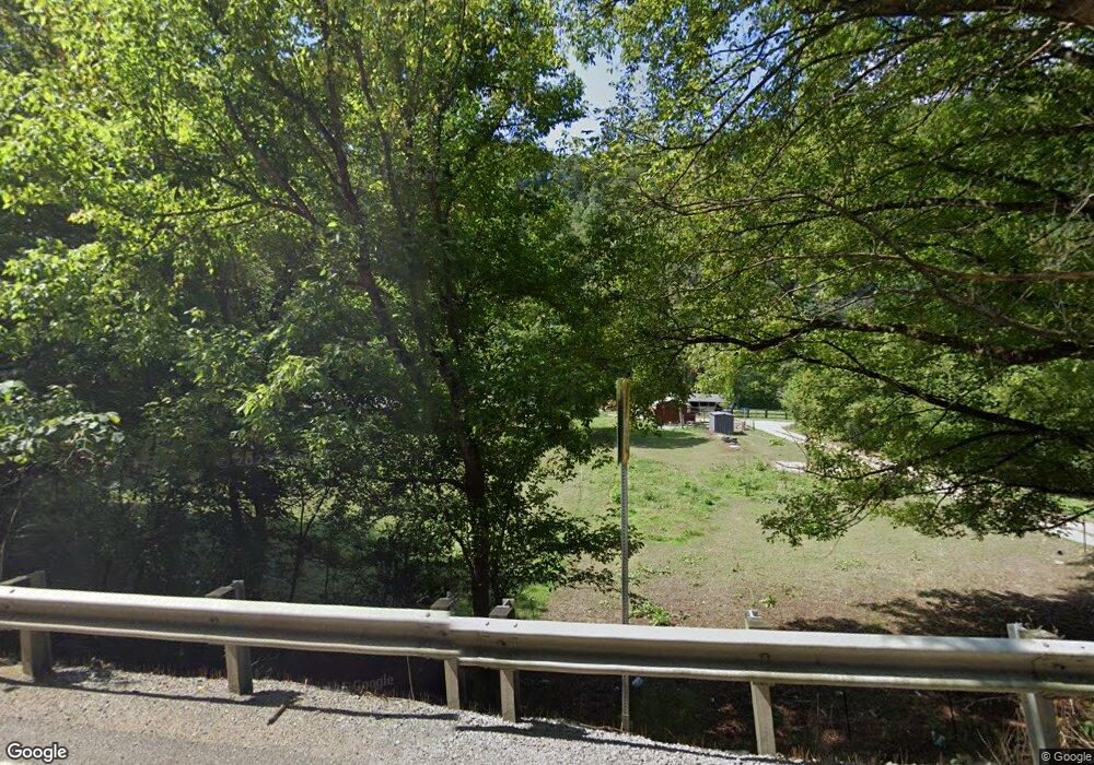
11441 State Highway 194 E Kimper, KY 41539
Estimated Value: $197,000 - $312,816
3
Beds
3
Baths
2,174
Sq Ft
$119/Sq Ft
Est. Value
About This Home
This home is located at 11441 State Highway 194 E, Kimper, KY 41539 and is currently estimated at $258,704, approximately $118 per square foot. 11441 State Highway 194 E is a home located in Pike County.
Ownership History
Date
Name
Owned For
Owner Type
Purchase Details
Closed on
Jul 26, 2023
Sold by
Patterson Jeff and Patterson Michelle
Bought by
Teodoro Jason
Current Estimated Value
Home Financials for this Owner
Home Financials are based on the most recent Mortgage that was taken out on this home.
Original Mortgage
$266,000
Outstanding Balance
$259,802
Interest Rate
6.69%
Mortgage Type
VA
Estimated Equity
-$1,098
Purchase Details
Closed on
May 5, 2008
Sold by
Patterson Jennifer
Bought by
Patterson Jeff
Create a Home Valuation Report for This Property
The Home Valuation Report is an in-depth analysis detailing your home's value as well as a comparison with similar homes in the area
Home Values in the Area
Average Home Value in this Area
Purchase History
| Date | Buyer | Sale Price | Title Company |
|---|---|---|---|
| Teodoro Jason | $266,000 | None Listed On Document | |
| Teodoro Jason | $266,000 | None Listed On Document | |
| Patterson Jeff | -- | None Available |
Source: Public Records
Mortgage History
| Date | Status | Borrower | Loan Amount |
|---|---|---|---|
| Open | Teodoro Jason | $266,000 | |
| Closed | Teodoro Jason | $266,000 |
Source: Public Records
Tax History Compared to Growth
Tax History
| Year | Tax Paid | Tax Assessment Tax Assessment Total Assessment is a certain percentage of the fair market value that is determined by local assessors to be the total taxable value of land and additions on the property. | Land | Improvement |
|---|---|---|---|---|
| 2024 | $3,078 | $228,000 | $0 | $0 |
| 2023 | $1,358 | $142,200 | $0 | $0 |
| 2022 | $1,448 | $142,200 | $0 | $0 |
| 2021 | $2,031 | $142,200 | $0 | $0 |
| 2020 | $2,035 | $142,200 | $0 | $0 |
| 2019 | $2,041 | $142,200 | $0 | $0 |
| 2018 | $2,041 | $142,200 | $0 | $0 |
| 2017 | $2,026 | $142,200 | $0 | $0 |
| 2016 | $1,638 | $142,200 | $0 | $0 |
| 2015 | $1,499 | $142,200 | $0 | $0 |
| 2014 | $1,411 | $142,200 | $0 | $0 |
| 2012 | $1,422 | $200,000 | $75,000 | $125,000 |
Source: Public Records
Map
Nearby Homes
- 523 Hurricane Creek
- 2377 Hurricane Creek
- 321 Gabriel Fork
- 15883 Grapevine Rd
- 492 Upper Camp Branch
- 15694 Kentucky 194
- 15100 Kentucky 194
- 2446 Grassy Branch
- 232 Avery Murphy Rd
- 5844 Upper Johns Creek
- 5924 Upper Johns Creek
- 523 Rigth Fork of Grassy Branch
- 20184 Grapevine Rd
- 486 Grassy Branch
- 247 Netley Branch
- 0000 Raccoon Rd
- 20610 Kentucky 194
- 509 Left Fork of Upper Chloe
- 22251 E State Highway 194 E
- 214 Crigger Hollow
- 11604 State Highway 194 E
- 10361 Rt 194e
- 10361 Hwy 194e
- 10001 Kentucky 194
- 9860 State Highway 194 E
- 94 Upper Johns Creek
- 61 Upper Johns Creek
- 41 Upper Johns Creek
- 99 Upper Johns Creek
- 9711 State Highway 194 E
- 88 Ratliff Rd
- 9434 State Highway 194 E
- 5067 Rt 632 Kimper Hwy
- 747 Upper Johns Creek
- 70 Fire Station Rd
- 11515 State Highway 194 E
- 160 Fire Station Rd
- 349 Hurricane Creek
- 365 Hurricane Creek
- 184 Fire Station Rd
