11449 Cripps Rd Gentry, AR 72734
Estimated Value: $500,000 - $647,000
4
Beds
3
Baths
1,815
Sq Ft
$301/Sq Ft
Est. Value
About This Home
This home is located at 11449 Cripps Rd, Gentry, AR 72734 and is currently estimated at $545,528, approximately $300 per square foot. 11449 Cripps Rd is a home located in Benton County with nearby schools including Gentry Intermediate School, Gentry Primary School, and Gentry Middle School.
Ownership History
Date
Name
Owned For
Owner Type
Purchase Details
Closed on
Dec 27, 2021
Sold by
Beierle Edward L and Beierle Dana R
Bought by
Bolan Chanuing Nicholas and Bolan Bryn Nicole
Current Estimated Value
Home Financials for this Owner
Home Financials are based on the most recent Mortgage that was taken out on this home.
Original Mortgage
$314,400
Outstanding Balance
$289,166
Interest Rate
3.11%
Mortgage Type
New Conventional
Estimated Equity
$256,362
Purchase Details
Closed on
Mar 4, 1998
Bought by
Nash
Create a Home Valuation Report for This Property
The Home Valuation Report is an in-depth analysis detailing your home's value as well as a comparison with similar homes in the area
Home Values in the Area
Average Home Value in this Area
Purchase History
| Date | Buyer | Sale Price | Title Company |
|---|---|---|---|
| Bolan Chanuing Nicholas | $393,000 | Realty Ttl & Closing Svcs Ll | |
| Nash | $20,000 | -- |
Source: Public Records
Mortgage History
| Date | Status | Borrower | Loan Amount |
|---|---|---|---|
| Open | Bolan Chanuing Nicholas | $314,400 |
Source: Public Records
Tax History Compared to Growth
Tax History
| Year | Tax Paid | Tax Assessment Tax Assessment Total Assessment is a certain percentage of the fair market value that is determined by local assessors to be the total taxable value of land and additions on the property. | Land | Improvement |
|---|---|---|---|---|
| 2025 | $2,972 | $75,684 | $16,560 | $59,124 |
| 2024 | $2,702 | $74,775 | $16,560 | $58,215 |
| 2023 | $2,573 | $51,460 | $16,380 | $35,080 |
| 2022 | $2,363 | $51,460 | $16,380 | $35,080 |
| 2021 | $1,544 | $51,420 | $16,340 | $35,080 |
| 2020 | $1,454 | $34,440 | $7,540 | $26,900 |
| 2019 | $1,454 | $34,440 | $7,540 | $26,900 |
| 2018 | $1,479 | $34,440 | $7,540 | $26,900 |
| 2017 | $1,375 | $34,440 | $7,540 | $26,900 |
| 2016 | $1,375 | $34,440 | $7,540 | $26,900 |
| 2015 | $1,547 | $30,930 | $8,380 | $22,550 |
| 2014 | $1,197 | $30,930 | $8,380 | $22,550 |
Source: Public Records
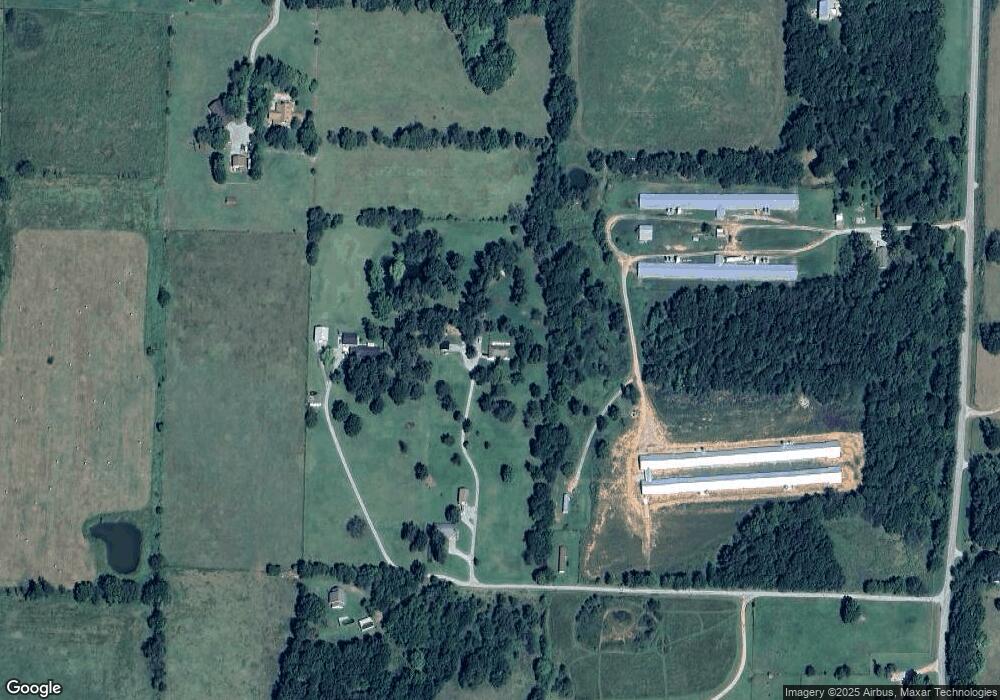
Map
Nearby Homes
- 11419 Cripps Rd
- 23489 W Highway 12
- 0000 Cripps Rd
- 23540 Arkansas 12
- 12007 Swepco Lake Rd
- 11230 John Zodrow Rd
- 21944 Arkansas 12
- 22443 Floyd Moore Rd
- TBD N Bloomfield Rd
- TBD Ruby Hall Rd
- 23963 Floyd Moore Rd
- 0 Ruby Hall Rd Unit 25-289
- 0 Ruby Hall Rd Unit 1296833
- 22.56 Acres Floyd Moore Rd
- TBD Floyd Moore Rd
- 21854 Floyd Moore Rd
- Rc Morgan Plan at Crowder
- RC Kinsley II Plan at Crowder
- RC Baltimore Plan at Crowder
- RC Coleman Plan at Crowder
- 11551 Cripps Rd
- 11565 Cripps Rd
- 11573 Cripps Rd
- 11545 Cripps Rd
- 23155 W Highway 12
- 11343 Cripps Rd
- 23037 W Highway 12
- 22979 W Highway 12
- 11621 Cripps Rd
- 22931 W Highway 12
- 11557 Cripps Rd
- 11525 Cripps Rd
- 22929 W Highway 12
- 11251 Cripps Rd
- 11719 Cripps Rd
- 22946 W Highway 12
- 0 Hwy 12 Unit 1220657
- 0 Hwy 12 Unit 1169220
- 0 Hwy 12 Unit 1004321
- 0 Hwy 12 Unit 1157113