1145 Cowden Rd New Concord, OH 43762
Estimated Value: $106,000 - $378,708
3
Beds
2
Baths
2,240
Sq Ft
$108/Sq Ft
Est. Value
About This Home
This home is located at 1145 Cowden Rd, New Concord, OH 43762 and is currently estimated at $242,354, approximately $108 per square foot. 1145 Cowden Rd is a home located in Guernsey County with nearby schools including Pike Elementary School, East Muskingum Middle School, and Larry Miller Intermediate Elementary School.
Ownership History
Date
Name
Owned For
Owner Type
Purchase Details
Closed on
Jul 2, 2010
Sold by
Mitchen Michael E and Mitchen Gloria A
Bought by
Bieterman Robert J and Bieterman Susan R
Current Estimated Value
Home Financials for this Owner
Home Financials are based on the most recent Mortgage that was taken out on this home.
Original Mortgage
$164,287
Interest Rate
4.62%
Mortgage Type
FHA
Purchase Details
Closed on
Feb 24, 2006
Sold by
Bruner Land Co Inc
Bought by
Mitchen Michael E and Mitchen Gloria A
Create a Home Valuation Report for This Property
The Home Valuation Report is an in-depth analysis detailing your home's value as well as a comparison with similar homes in the area
Home Values in the Area
Average Home Value in this Area
Purchase History
| Date | Buyer | Sale Price | Title Company |
|---|---|---|---|
| Bieterman Robert J | $166,500 | -- | |
| Mitchen Michael E | $32,500 | -- |
Source: Public Records
Mortgage History
| Date | Status | Borrower | Loan Amount |
|---|---|---|---|
| Previous Owner | Bieterman Robert J | $164,287 |
Source: Public Records
Tax History Compared to Growth
Tax History
| Year | Tax Paid | Tax Assessment Tax Assessment Total Assessment is a certain percentage of the fair market value that is determined by local assessors to be the total taxable value of land and additions on the property. | Land | Improvement |
|---|---|---|---|---|
| 2024 | $237 | $5,922 | $5,922 | $0 |
| 2023 | $237 | $4,739 | $4,739 | $0 |
| 2022 | $210 | $4,740 | $4,740 | $0 |
| 2021 | $198 | $4,740 | $4,740 | $0 |
| 2020 | $1,830 | $43,260 | $7,290 | $35,970 |
| 2019 | $1,699 | $43,260 | $7,290 | $35,970 |
| 2018 | $1,661 | $43,260 | $7,290 | $35,970 |
| 2017 | $1,596 | $37,500 | $6,340 | $31,160 |
| 2016 | $1,580 | $37,500 | $6,340 | $31,160 |
| 2015 | $1,580 | $37,500 | $6,340 | $31,160 |
| 2014 | $1,479 | $33,860 | $5,530 | $28,330 |
| 2013 | $1,451 | $33,860 | $5,530 | $28,330 |
Source: Public Records
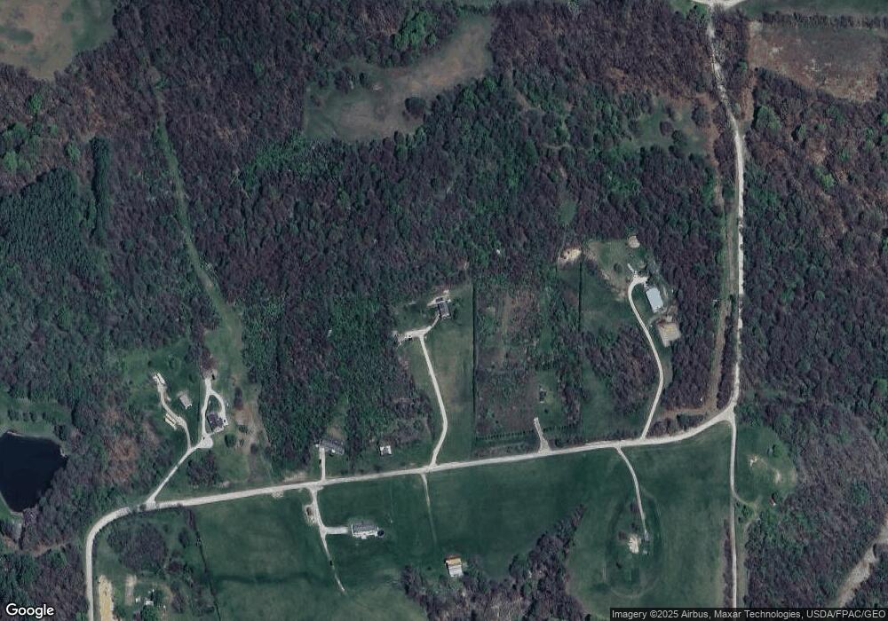
Map
Nearby Homes
- 2250 Indian Camp Run Rd
- 64895 Lovers Lane Rd
- 5580 Friendship Dr
- 68477 Geese Rd
- 0 Geese Rd
- 67655 Geese Rd
- 3688 Indian Camp Run Rd
- 0 Haught Rd Unit LOTWP001 24504411
- 0 Haught Rd
- 0 Norfield Unit 5124761
- 6825 Barr Rd
- 12985 John Glenn School Rd
- 5628 Bloomfield Rd
- 53 Paden Rd
- 1165 Friendship Dr
- 4480 Peters Creek Rd
- 930 Friendship Dr
- 760 Friendship Dr
- 2895 N Moose Eye Rd
- 6753 Simmons Rd
- 1101 Cowden Rd
- 1395 Cowden Rd
- 1580 Cool Springs Rd
- 7925 Louana Rd
- 0 Cool Springs Rd Unit 4005246
- 0 Cool Springs Rd Unit 3147144
- 0 Cool Springs Rd Unit 4352795
- 0 Cool Springs Rd Unit 4275139
- 0 Cool Springs Rd Unit 4274869
- 8480 Dickson Rd
- 7855 Dickson Rd
- 0 Dickson Rd Unit 3978581
- 8335 Dickson Rd
- 0 Louana Rd
- 8540 Dickson Rd
- 8075 Dickson Rd
- 8515 Dickson Rd
- 7395 Louana Rd
- 8215 Dickson Rd
- 8785 Dickson Rd