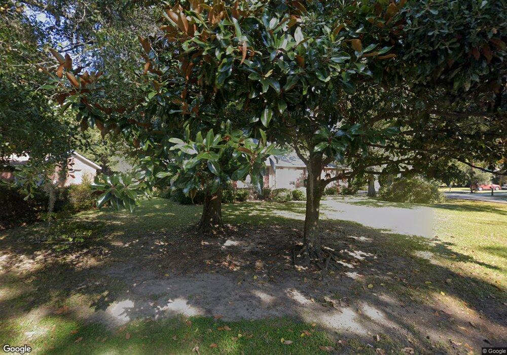
1145 Pittsford Cir Charleston, SC 29412
James Island NeighborhoodEstimated Value: $539,180 - $660,000
3
Beds
2
Baths
1,706
Sq Ft
$352/Sq Ft
Est. Value
About This Home
This home is located at 1145 Pittsford Cir, Charleston, SC 29412 and is currently estimated at $600,545, approximately $352 per square foot. 1145 Pittsford Cir is a home located in Charleston County with nearby schools including James Island Elementary School, Camp Road Middle, and Septima P Clark Corporate Academy.
Ownership History
Date
Name
Owned For
Owner Type
Purchase Details
Closed on
Apr 1, 2020
Sold by
Holmes Ronald D
Bought by
Holmes Ronald D and Holmes Martha H
Current Estimated Value
Purchase Details
Closed on
Jul 10, 2003
Sold by
Holmes Wynelle R
Bought by
Holmes Ronald D
Purchase Details
Closed on
Sep 20, 2000
Sold by
Holmes James L
Bought by
Holmes James L and James L Holmes Sr Revocable Living Trust
Create a Home Valuation Report for This Property
The Home Valuation Report is an in-depth analysis detailing your home's value as well as a comparison with similar homes in the area
Home Values in the Area
Average Home Value in this Area
Purchase History
| Date | Buyer | Sale Price | Title Company |
|---|---|---|---|
| Holmes Ronald D | -- | None Available | |
| Holmes Ronald D | -- | -- | |
| Holmes Wynelle R | -- | -- | |
| Holmes Ronald D | -- | -- | |
| Holmes James L | -- | -- | |
| Holmes James L | -- | -- |
Source: Public Records
Tax History Compared to Growth
Tax History
| Year | Tax Paid | Tax Assessment Tax Assessment Total Assessment is a certain percentage of the fair market value that is determined by local assessors to be the total taxable value of land and additions on the property. | Land | Improvement |
|---|---|---|---|---|
| 2024 | $840 | $6,050 | $0 | $0 |
| 2023 | $840 | $6,050 | $0 | $0 |
| 2022 | $745 | $6,050 | $0 | $0 |
| 2021 | $792 | $6,050 | $0 | $0 |
| 2020 | $800 | $6,050 | $0 | $0 |
| 2019 | $708 | $5,000 | $0 | $0 |
| 2017 | $747 | $7,000 | $0 | $0 |
| 2016 | $719 | $7,000 | $0 | $0 |
| 2015 | $737 | $7,000 | $0 | $0 |
| 2014 | $625 | $0 | $0 | $0 |
| 2011 | -- | $0 | $0 | $0 |
Source: Public Records
Map
Nearby Homes
- 1056 Yorktown Dr
- 1182 Folly Rd Unit A,B,C,D
- 1039 Yorktown Dr
- 1152 Bradford Ave
- 1815 Walsingham Way
- 1047 Bradford Ave
- 0 Turkey Pen Rd Unit 16023532
- 1153 Pauline Ave
- 1206 Folly Rd
- 1827 S Mayflower Dr
- 1137 Rivercrest Dr
- 1662 Dexter Ln
- 1814 S Mayflower Dr
- 1030 Pauline Ave
- 1570 Blaze Ln
- 1135 Bellwood Rd
- 1291 Apex Ln
- 1530 Fort Johnson Rd Unit 1E
- 1530 Fort Johnson Rd Unit 1L
- 1262 Apex Ln
- 1730 Ashworth Ln
- 1155 Pittsford Cir
- 1144 Pittsford Cir
- 1736 Ashworth Ln
- 1140 Pittsford Cir
- 1148 Pittsford Cir
- 1731 Ashworth Ln
- 1136 Pittsford Cir
- 1152 Pittsford Cir
- 1737 Ashworth Ln
- 1132 Pittsford Cir
- 1156 Pittsford Cir
- 1742 Ashworth Ln
- 1088 Yorktown Dr
- 1161 Pittsford Cir
- 1741 Ashworth Ln
- 1080 Yorktown Dr
- 1160 Pittsford Cir
- 1732 Pittsford Cir
- 1128 Pittsford Cir