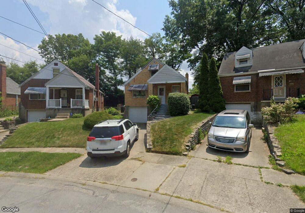
1145 S Lynnebrook Dr Cincinnati, OH 45224
College Hill NeighborhoodEstimated Value: $98,000 - $187,000
3
Beds
1
Bath
1,369
Sq Ft
$112/Sq Ft
Est. Value
About This Home
This home is located at 1145 S Lynnebrook Dr, Cincinnati, OH 45224 and is currently estimated at $153,022, approximately $111 per square foot. 1145 S Lynnebrook Dr is a home located in Hamilton County with nearby schools including Pleasant Hill Elementary School, Robert A. Taft Information Technology High School, and Western Hills High School.
Ownership History
Date
Name
Owned For
Owner Type
Purchase Details
Closed on
Nov 25, 2001
Sold by
Snipes Greta
Bought by
Snipes Ruth
Current Estimated Value
Purchase Details
Closed on
Oct 19, 2001
Sold by
Estate Of Jake E Snipes Jr
Bought by
Snipes Ruth and Snipes Gwendolyn
Purchase Details
Closed on
Oct 31, 2000
Sold by
Snipes Greta and Snipes Gwendolyn
Bought by
Snipes Jake E and Snipes Greta
Purchase Details
Closed on
Sep 23, 2000
Sold by
Snipes Greta and Snipes Gwendolyn
Bought by
Snipes Jake E
Create a Home Valuation Report for This Property
The Home Valuation Report is an in-depth analysis detailing your home's value as well as a comparison with similar homes in the area
Home Values in the Area
Average Home Value in this Area
Purchase History
| Date | Buyer | Sale Price | Title Company |
|---|---|---|---|
| Snipes Ruth | -- | -- | |
| Snipes Ruth | -- | -- | |
| Snipes Jake E | -- | -- | |
| Snipes Jake E | -- | -- |
Source: Public Records
Tax History
| Year | Tax Paid | Tax Assessment Tax Assessment Total Assessment is a certain percentage of the fair market value that is determined by local assessors to be the total taxable value of land and additions on the property. | Land | Improvement |
|---|---|---|---|---|
| 2025 | $1,913 | $41,259 | $7,795 | $33,464 |
| 2024 | $1,858 | $41,259 | $7,795 | $33,464 |
| 2023 | $1,952 | $41,259 | $7,795 | $33,464 |
| 2022 | $1,308 | $28,032 | $6,349 | $21,683 |
| 2021 | $1,246 | $28,032 | $6,349 | $21,683 |
| 2020 | $1,298 | $28,032 | $6,349 | $21,683 |
| 2019 | $1,162 | $24,588 | $5,569 | $19,019 |
| 2018 | $1,165 | $24,588 | $5,569 | $19,019 |
| 2017 | $1,098 | $24,588 | $5,569 | $19,019 |
| 2016 | $1,283 | $27,076 | $5,943 | $21,133 |
| 2015 | $1,164 | $27,076 | $5,943 | $21,133 |
| 2014 | $1,173 | $27,076 | $5,943 | $21,133 |
| 2013 | $1,249 | $27,913 | $6,125 | $21,788 |
Source: Public Records
Map
Nearby Homes
- 1190 West Way
- 5945 Leffingwell Ave
- 5940 Kenneth Ave
- 1166 Groesbeck Rd
- 1217 Groesbeck Rd
- 1197 Toluca Ct
- 5679 Folchi Dr
- 5825 Salvia Ave
- 6045 Tahiti Dr
- 6071 Lantana Ave
- 6101 Capri Dr
- 6000 Capri Dr
- 1620 Linden Dr
- 5974 Sunridge Dr
- 6024 Sunridge Dr
- 939 Venetian Terrace
- 6145 Sunridge Dr
- 1491 Reid Ave
- 875 Venetian Terrace
- 5510 Hamilton Ave
- 1145 N Lynnebrook Dr
- 1132 S Lynnebrook Dr
- 1149 N Lynnebrook Dr
- 1136 S Lynnebrook Dr
- 1179 N Lynnebrook Dr
- 1140 S Lynnebrook Dr
- 1133 N Lynnebrook Dr
- 1181 N Lynnebrook Dr
- 1150 N Lynnebrook Dr
- 1137 S Lynnebrook Dr
- 1172 S Lynnebrook Dr
- 1168 N Lynnebrook Dr
- 1154 N Lynnebrook Dr
- 1172 N Lynnebrook Dr
- 1164 N Lynnebrook Dr
- 1141 S Lynnebrook Dr
- 1183 N Lynnebrook Dr
- 1178 N Lynnebrook Dr
- 1160 N Lynnebrook Dr
- 1176 S Lynnebrook Dr
Your Personal Tour Guide
Ask me questions while you tour the home.