11450 Booth Ridge Cottondale, AL 35453
Estimated Value: $611,000 - $689,360
3
Beds
4
Baths
4,001
Sq Ft
$161/Sq Ft
Est. Value
About This Home
This home is located at 11450 Booth Ridge, Cottondale, AL 35453 and is currently estimated at $642,453, approximately $160 per square foot. 11450 Booth Ridge is a home located in Tuscaloosa County with nearby schools including Vance Elementary School, Brookwood Middle School, and Brookwood High School.
Ownership History
Date
Name
Owned For
Owner Type
Purchase Details
Closed on
Mar 8, 2005
Sold by
Sandy Creek
Bought by
Booth Roger C and Booth Marisa B
Current Estimated Value
Home Financials for this Owner
Home Financials are based on the most recent Mortgage that was taken out on this home.
Original Mortgage
$300,000
Interest Rate
5.6%
Mortgage Type
Cash
Purchase Details
Closed on
Feb 22, 2005
Sold by
Not Provided
Bought by
Booth Roger C and Booth Marisa B
Home Financials for this Owner
Home Financials are based on the most recent Mortgage that was taken out on this home.
Original Mortgage
$300,000
Interest Rate
5.6%
Mortgage Type
Cash
Create a Home Valuation Report for This Property
The Home Valuation Report is an in-depth analysis detailing your home's value as well as a comparison with similar homes in the area
Purchase History
| Date | Buyer | Sale Price | Title Company |
|---|---|---|---|
| Booth Roger C | $300,500 | -- | |
| Booth Roger C | $300,500 | -- |
Source: Public Records
Mortgage History
| Date | Status | Borrower | Loan Amount |
|---|---|---|---|
| Closed | Booth Roger C | $300,000 | |
| Closed | Booth Roger C | $300,000 |
Source: Public Records
Tax History
| Year | Tax Paid | Tax Assessment Tax Assessment Total Assessment is a certain percentage of the fair market value that is determined by local assessors to be the total taxable value of land and additions on the property. | Land | Improvement |
|---|---|---|---|---|
| 2025 | $2,275 | $133,200 | $14,300 | $118,900 |
| 2024 | $2,275 | $119,560 | $14,300 | $105,260 |
| 2023 | $2,094 | $114,000 | $14,300 | $99,700 |
| 2022 | $1,742 | $100,540 | $14,300 | $86,240 |
| 2021 | $1,752 | $100,560 | $12,300 | $88,260 |
| 2020 | $1,621 | $46,730 | $6,150 | $40,580 |
| 2019 | $1,621 | $46,730 | $6,150 | $40,580 |
| 2018 | $1,621 | $46,730 | $6,150 | $40,580 |
| 2017 | $1,484 | $0 | $0 | $0 |
| 2016 | $1,547 | $0 | $0 | $0 |
| 2015 | $1,547 | $0 | $0 | $0 |
| 2014 | $1,547 | $44,740 | $6,150 | $38,590 |
Source: Public Records
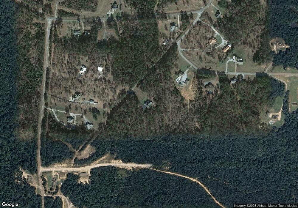
Map
Nearby Homes
- 15632 Hagler Dr
- 14853 Kepple Loop
- 10785 Macks Rd
- 14583 Ole Oak Dr
- 10488 Rolling Valley Dr
- 10463 Beulah Lake Ln
- 14304 Hargrove Rd E
- 15667 Butler Ridge Rd
- 0 Mallard Trail
- 10452 N Davis Rd
- 0 N Davis Rd
- 10852 Mallard Lake Ln
- 00 Ashborough Dr
- 16414 Highway 11 N
- 10802 Mallard Lake Ln
- 14421 Tingle Estates
- 10464 Nicole St
- 14120 Snider Rd
- 10617 Austin Loop
- 16670 Laney Ln
- 15233 Sandy Creek Dr
- 11328 Brant Ward Rd
- 15239 Sandy Creek Dr
- 11338 Brant Ward Rd
- 11318 Brant Ward Rd
- 15135 Wire Rd
- 15143 Wire Rd
- 15155 Wire Rd
- 15249 Sandy Creek Dr
- 15224 Sandy Creek Dr
- 15250 Sandy Creek Dr
- 15129 Wire Rd
- 15171 Wire Rd
- 11500 Brant Ward Rd
- 15253 Sandy Creek Dr
- 15179 Wire Rd
- 15256 Sandy Creek Dr
- 15259 Sandy Creek Dr
- 11630 Brant Ward Rd
- 15237 Wire Rd
Your Personal Tour Guide
Ask me questions while you tour the home.