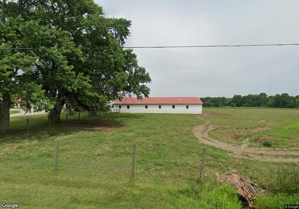
11451 Beeson St NE Alliance, OH 44601
Estimated Value: $184,000 - $631,266
2
Beds
1
Bath
994
Sq Ft
$345/Sq Ft
Est. Value
About This Home
This home is located at 11451 Beeson St NE, Alliance, OH 44601 and is currently estimated at $343,089, approximately $345 per square foot. 11451 Beeson St NE is a home with nearby schools including Marlington High School and Regina Coeli/St Joseph School.
Ownership History
Date
Name
Owned For
Owner Type
Purchase Details
Closed on
Feb 25, 2008
Sold by
Frank Warren T and Frank Linda
Bought by
Frank Brothers Farm Llc
Current Estimated Value
Purchase Details
Closed on
Sep 9, 2004
Sold by
Frank Gerald M
Bought by
Frank Gerald M and The Gerald M Frank Trust
Create a Home Valuation Report for This Property
The Home Valuation Report is an in-depth analysis detailing your home's value as well as a comparison with similar homes in the area
Home Values in the Area
Average Home Value in this Area
Purchase History
| Date | Buyer | Sale Price | Title Company |
|---|---|---|---|
| Frank Brothers Farm Llc | -- | None Available | |
| Frank Brothers Farm Llc | -- | None Available | |
| Frank Brothers Farm Llc | -- | None Available | |
| Frank Gerald M | -- | -- |
Source: Public Records
Tax History Compared to Growth
Tax History
| Year | Tax Paid | Tax Assessment Tax Assessment Total Assessment is a certain percentage of the fair market value that is determined by local assessors to be the total taxable value of land and additions on the property. | Land | Improvement |
|---|---|---|---|---|
| 2025 | -- | $186,305 | $157,885 | $28,420 |
| 2024 | -- | $186,305 | $157,885 | $28,420 |
| 2023 | $1,612 | $155,760 | $128,490 | $27,270 |
| 2022 | $1,618 | $44,740 | $17,470 | $27,270 |
| 2021 | $1,623 | $44,740 | $17,470 | $27,270 |
| 2020 | $1,656 | $40,670 | $21,350 | $19,320 |
| 2019 | $1,646 | $40,720 | $21,370 | $19,350 |
| 2018 | $1,650 | $40,720 | $21,370 | $19,350 |
| 2017 | $1,979 | $45,690 | $28,190 | $17,500 |
| 2016 | $1,968 | $45,440 | $28,190 | $17,250 |
| 2015 | $1,881 | $45,440 | $28,190 | $17,250 |
| 2014 | $1,594 | $35,170 | $17,440 | $17,730 |
| 2013 | $793 | $35,170 | $17,440 | $17,730 |
Source: Public Records
Map
Nearby Homes
- 0 Reeder Ave NE
- 10666 Wilma Ave NE
- 12355 Edison St NE
- 13334 Cindy St NE
- 0 Meadow St NE
- 11960 Freshley Ave NE
- 12415 Snode St NE
- 1430 Westwood Ave
- 13109 Edison St NE
- 2377 Ansley St Unit 2377
- 11480 Aebi Ave NE
- 2081 Marwood Cir
- 0 W Main St Unit 5090123
- 2851 Patriots Path Unit 3D
- 2435 Queensbury Rd
- 0 Valewood Cir Unit 5006281
- 000 Klinger Ave
- 0 Easton St NE
- 432 Johnson Ave
- 1201 Overlook Dr
- 11335 Beeson St NE
- 11575 Beeson St NE
- 10555 May Ave NE
- 11621 Beeson St NE
- 11307 Beeson St NE
- 11655 Beeson St NE
- 0 Beeson St NE Unit 3721104
- 0 Beeson St NE Unit 3789951
- 11243 Beeson St NE
- 10566 Clapsaddle Ave NE
- 11751 Beeson St NE
- 10636 Clapsaddle Ave NE
- 10730 Clapsaddle Ave NE
- 10690 Clapsaddle Ave NE
- 10770 Clapsaddle Ave NE
- 11079 Beeson St NE
- 11815 Beeson St NE
- 10200 Moulin Ave NE
- 10635 Mccallum Ave NE
- 10790 Clapsaddle Ave NE