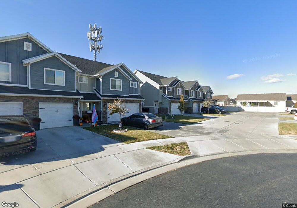
1146 W 2050 S Syracuse, UT 84075
Estimated Value: $370,000 - $401,000
3
Beds
2
Baths
1,389
Sq Ft
$278/Sq Ft
Est. Value
About This Home
This home is located at 1146 W 2050 S, Syracuse, UT 84075 and is currently estimated at $385,449, approximately $277 per square foot. 1146 W 2050 S is a home with nearby schools including Bluff Ridge Elementary, Legacy Junior High School, and Clearfield High School.
Ownership History
Date
Name
Owned For
Owner Type
Purchase Details
Closed on
Dec 18, 2020
Sold by
Menlove Justin and Menlove Michelle
Bought by
Mccleary Kye Mckennon
Current Estimated Value
Home Financials for this Owner
Home Financials are based on the most recent Mortgage that was taken out on this home.
Original Mortgage
$226,400
Outstanding Balance
$201,564
Interest Rate
2.7%
Mortgage Type
New Conventional
Estimated Equity
$183,885
Create a Home Valuation Report for This Property
The Home Valuation Report is an in-depth analysis detailing your home's value as well as a comparison with similar homes in the area
Home Values in the Area
Average Home Value in this Area
Purchase History
| Date | Buyer | Sale Price | Title Company |
|---|---|---|---|
| Mccleary Kye Mckennon | -- | Mountain View Title |
Source: Public Records
Mortgage History
| Date | Status | Borrower | Loan Amount |
|---|---|---|---|
| Open | Mccleary Kye Mckennon | $226,400 |
Source: Public Records
Tax History
| Year | Tax Paid | Tax Assessment Tax Assessment Total Assessment is a certain percentage of the fair market value that is determined by local assessors to be the total taxable value of land and additions on the property. | Land | Improvement |
|---|---|---|---|---|
| 2025 | $1,944 | $187,550 | $76,450 | $111,100 |
| 2024 | $1,948 | $189,200 | $60,500 | $128,700 |
| 2023 | $1,915 | $186,450 | $62,150 | $124,300 |
| 2022 | $1,973 | $348,000 | $96,000 | $252,000 |
| 2021 | $1,704 | $256,000 | $79,000 | $177,000 |
| 2020 | $1,540 | $224,000 | $74,700 | $149,300 |
| 2019 | $1,553 | $223,000 | $75,000 | $148,000 |
| 2018 | $1,354 | $193,000 | $85,000 | $108,000 |
| 2016 | $1,170 | $87,450 | $19,250 | $68,200 |
| 2015 | $492 | $35,000 | $35,000 | $0 |
| 2014 | $460 | $33,333 | $33,333 | $0 |
| 2013 | -- | $32,500 | $32,500 | $0 |
Source: Public Records
Map
Nearby Homes
- 1148 W 2050 S
- 1138 W 2050 S
- 1154 W 2050 S
- 1126 W 2050 S
- 1128 W 2050 S
- 1132 W 2050 S
- 1134 W 2050 S
- 1158 W 2050 S
- 1171 W 2000 S Unit 319
- 1155 W 2000 S Unit 318
- 1155 W 2000 S
- 1183 W 2000 S Unit 320
- 1183 W 2000 S Unit 314
- 1112 W 2050 S
- 1114 W 2050 S
- 1141 W 2000 S Unit 317
- 1141 W 2000 S
- 1106 W 2050 S
- 1106 W 2050 S Unit 30
- 1116 W 2050 S Unit 26
Your Personal Tour Guide
Ask me questions while you tour the home.