11460 Denton Hill Rd Fenton, MI 48430
Estimated Value: $375,000 - $410,000
--
Bed
--
Bath
1,704
Sq Ft
$231/Sq Ft
Est. Value
About This Home
This home is located at 11460 Denton Hill Rd, Fenton, MI 48430 and is currently estimated at $393,804, approximately $231 per square foot. 11460 Denton Hill Rd is a home located in Livingston County with nearby schools including Fenton Senior High School and St. John the Evangelist Catholic School.
Ownership History
Date
Name
Owned For
Owner Type
Purchase Details
Closed on
Apr 30, 2025
Sold by
Chaffin Jason G
Bought by
Chaffin Jason G and Chaffin Laura
Current Estimated Value
Purchase Details
Closed on
May 4, 2005
Sold by
Motter Rex Allen and Motter Evelette J
Bought by
Chaffin Jason G and Chaffin Sunshine J
Home Financials for this Owner
Home Financials are based on the most recent Mortgage that was taken out on this home.
Original Mortgage
$225,000
Interest Rate
6.05%
Mortgage Type
Fannie Mae Freddie Mac
Create a Home Valuation Report for This Property
The Home Valuation Report is an in-depth analysis detailing your home's value as well as a comparison with similar homes in the area
Home Values in the Area
Average Home Value in this Area
Purchase History
| Date | Buyer | Sale Price | Title Company |
|---|---|---|---|
| Chaffin Jason G | -- | None Listed On Document | |
| Chaffin Jason G | $245,000 | Metropolitan Title Company |
Source: Public Records
Mortgage History
| Date | Status | Borrower | Loan Amount |
|---|---|---|---|
| Previous Owner | Chaffin Jason G | $225,000 |
Source: Public Records
Tax History Compared to Growth
Tax History
| Year | Tax Paid | Tax Assessment Tax Assessment Total Assessment is a certain percentage of the fair market value that is determined by local assessors to be the total taxable value of land and additions on the property. | Land | Improvement |
|---|---|---|---|---|
| 2025 | $2,522 | $176,700 | $0 | $0 |
| 2024 | $951 | $167,600 | $0 | $0 |
| 2023 | $907 | $145,300 | $0 | $0 |
| 2022 | $2,301 | $124,100 | $0 | $0 |
| 2021 | $2,276 | $131,400 | $0 | $0 |
| 2020 | $2,268 | $124,100 | $0 | $0 |
| 2019 | $2,242 | $116,600 | $0 | $0 |
| 2018 | $2,206 | $107,200 | $0 | $0 |
| 2017 | $2,180 | $107,200 | $0 | $0 |
| 2016 | $2,165 | $101,100 | $0 | $0 |
| 2014 | $2,184 | $80,500 | $0 | $0 |
| 2012 | $2,184 | $68,700 | $0 | $0 |
Source: Public Records
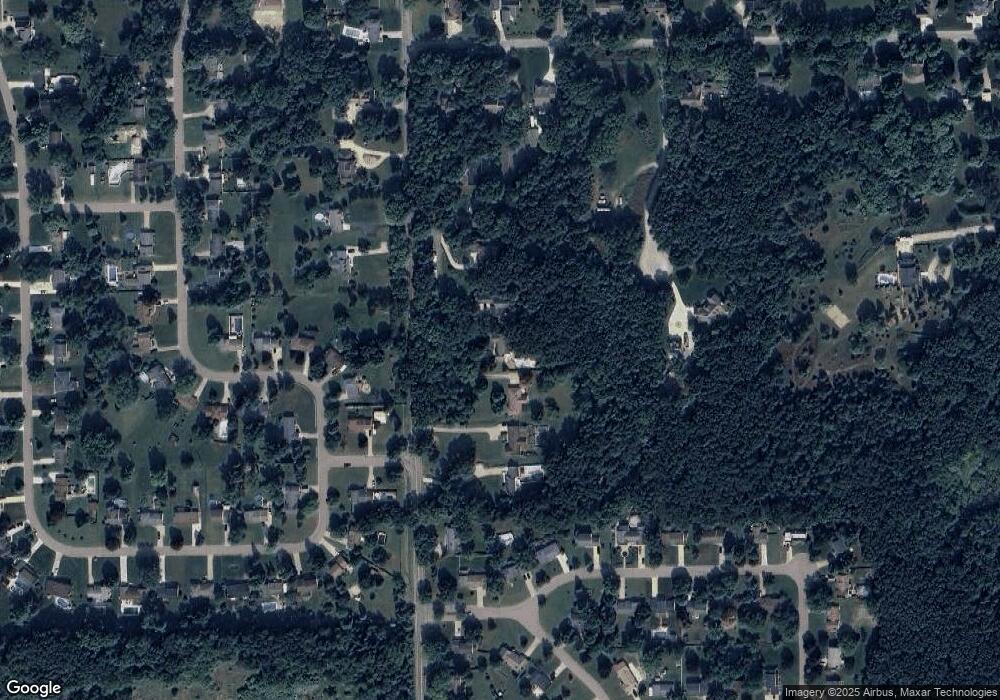
Map
Nearby Homes
- 11548 Farmhill Dr
- 11577 Farmhill Dr
- 1039 S East St
- 300 Union St
- 700 S Adelaide St
- 407 E Elizabeth St
- 919 Whisperwood Dr
- 843 Whisperwood Trail Unit 31
- 305 Furlong Ct
- 300 E Ellen St
- 1051 Swan Ln
- 211 Colfax St
- 0 W Caroline St
- 700 Eagle Dr Unit 1
- 724 Eagle Dr Unit 11
- 961 Loon Ct Unit 49
- 404 Main St
- 928 Eagle Dr Unit A119
- 928 Eagle Dr Unit A116
- 928 Eagle Dr Unit A117
- 11440 Denton Hill Rd
- 11480 Denton Hill Rd
- 11420 Denton Hill Rd
- 11500 Denton Hill Rd
- 11492 Farmhill Dr
- 11400 Denton Hill Rd
- 11520 Denton Hill Rd
- 11478 Farmhill Dr
- 11498 Farmhill Dr
- 11467 Denton Hill Rd
- 11540 Denton Hill Rd
- 11390 Denton Hill Rd
- 11504 Farmhill Dr
- 13025 Woodstock Dr
- 11479 Farmhill Dr
- 13035 Woodstock Dr
- 11475 Denton Hill Rd
- 11370 Manchester Dr
- 11800 Hawks Meadow Trail
- 13055 Woodstock Dr