11462 Cannon Rd Lincoln, AR 72744
Estimated Value: $281,000 - $414,000
--
Bed
2
Baths
2,247
Sq Ft
$160/Sq Ft
Est. Value
About This Home
This home is located at 11462 Cannon Rd, Lincoln, AR 72744 and is currently estimated at $359,716, approximately $160 per square foot. 11462 Cannon Rd is a home located in Washington County with nearby schools including Lincoln Elementary School and Lincoln High School.
Ownership History
Date
Name
Owned For
Owner Type
Purchase Details
Closed on
Oct 10, 2012
Sold by
Mcdonald Jerry and Mcdonald Carolyn
Bought by
Sallee Clayton W and Sallee Shannon N
Current Estimated Value
Home Financials for this Owner
Home Financials are based on the most recent Mortgage that was taken out on this home.
Original Mortgage
$132,000
Interest Rate
3.61%
Mortgage Type
Future Advance Clause Open End Mortgage
Purchase Details
Closed on
Jan 28, 1993
Bought by
Mcdonald Jerry and Mcdonald Carolyn
Purchase Details
Closed on
Feb 2, 1990
Bought by
Latco Farms, Inc.
Purchase Details
Closed on
Jan 1, 1985
Bought by
Latta Linda M
Create a Home Valuation Report for This Property
The Home Valuation Report is an in-depth analysis detailing your home's value as well as a comparison with similar homes in the area
Home Values in the Area
Average Home Value in this Area
Purchase History
| Date | Buyer | Sale Price | Title Company |
|---|---|---|---|
| Sallee Clayton W | $105,000 | Waco Title Company | |
| Mcdonald Jerry | $33,000 | -- | |
| Mcdonald Jerry | -- | -- | |
| Latco Farms, Inc. | -- | -- | |
| Latta Linda M | -- | -- |
Source: Public Records
Mortgage History
| Date | Status | Borrower | Loan Amount |
|---|---|---|---|
| Closed | Sallee Clayton W | $132,000 |
Source: Public Records
Tax History Compared to Growth
Tax History
| Year | Tax Paid | Tax Assessment Tax Assessment Total Assessment is a certain percentage of the fair market value that is determined by local assessors to be the total taxable value of land and additions on the property. | Land | Improvement |
|---|---|---|---|---|
| 2025 | $1,471 | $56,780 | $9,220 | $47,560 |
| 2024 | $1,487 | $56,780 | $9,220 | $47,560 |
| 2023 | $1,497 | $56,780 | $9,220 | $47,560 |
| 2022 | $1,443 | $38,520 | $5,420 | $33,100 |
| 2021 | $1,369 | $38,520 | $5,420 | $33,100 |
| 2020 | $1,295 | $38,520 | $5,420 | $33,100 |
| 2019 | $1,216 | $31,320 | $4,600 | $26,720 |
| 2018 | $1,241 | $31,320 | $4,600 | $26,720 |
| 2017 | $1,035 | $28,650 | $4,600 | $24,050 |
| 2016 | $1,027 | $28,650 | $4,600 | $24,050 |
| 2015 | $968 | $28,650 | $4,600 | $24,050 |
| 2014 | $905 | $24,750 | $4,860 | $19,890 |
Source: Public Records
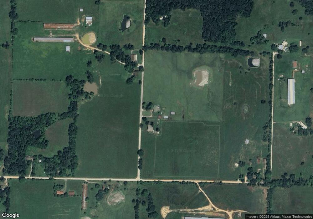
Map
Nearby Homes
- 18040 E Holt Rd
- 208 S Wedington Blacktop Rd
- 3.41 Acres of 11281 S Wedington Blacktop Rd
- 13170 Route 45
- 17691 E Holt Rd
- 16800 Parks Corner Rd
- 16655 W Highway 62
- 16477 Parks Corner
- 16603 Parks Corner Rd
- 508 E Holt Rd
- 200 County Ave
- 709 E Pridemore Dr
- 10397 S Mortensen Rd
- 100 Quincy Ave
- 313 E North St
- 394 E North St
- 12911 Highway 45 S
- 508 Braly St
- 16256 W Highway 62
- 312 E Bean St
- 0 S Cannon Rd
- 11431 Cannon Rd
- 17916 E Holt Rd
- 11343 Cannon Rd
- 17901 E Holt Rd
- 17974 E Holt Rd
- 11411 Old Pridemore Ln
- 11472 Old Pridemore Ln
- 18003 E Holt Rd
- 5 AC E Holt Rd
- 11122 Cannon Rd
- Tract 2 Wedington Blacktop (Wc33) Rd
- 17605 E Holt Rd
- 18121 E Holt Rd
- 11335 S Wedington Blacktop Rd
- 2195 E Pridemore Dr
- 11257 Cannon Rd
- Tract 1 Wedington Blacktop (Wc33) Rd
- 11218 S Wedington Blacktop Rd
- 2157 E Pridemore Dr