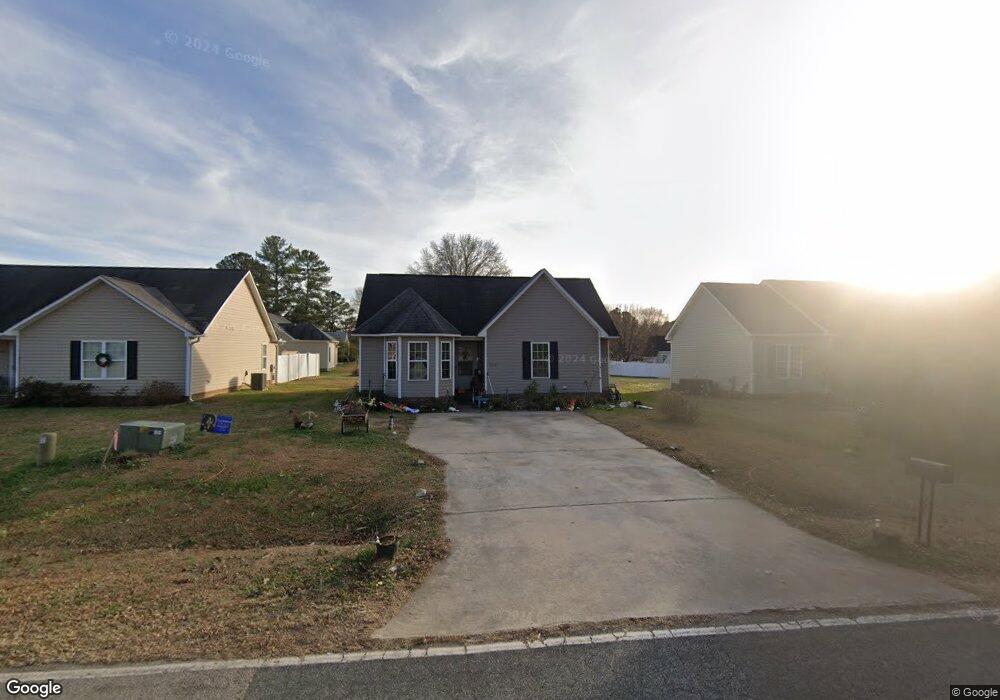
11467 Rockside Rd Middlesex, NC 27557
Estimated Value: $187,273 - $244,000
3
Beds
2
Baths
1,087
Sq Ft
$208/Sq Ft
Est. Value
About This Home
This home is located at 11467 Rockside Rd, Middlesex, NC 27557 and is currently estimated at $226,318, approximately $208 per square foot. 11467 Rockside Rd is a home located in Nash County with nearby schools including Middlesex Elementary School, Southern Nash Middle School, and Southern Nash High School.
Ownership History
Date
Name
Owned For
Owner Type
Purchase Details
Closed on
Oct 11, 2013
Sold by
Anderson Hugh M and Anderson Regina L
Bought by
Mills Erader A and Mills Yvonne P
Current Estimated Value
Purchase Details
Closed on
Aug 6, 2010
Sold by
Triton Housing Inc
Bought by
Anderson Hugh M and Anderson Regina L
Purchase Details
Closed on
Dec 14, 2006
Sold by
Lewis Joseph Exum and Lewis Tammy J
Bought by
Triton Housing Inc
Home Financials for this Owner
Home Financials are based on the most recent Mortgage that was taken out on this home.
Original Mortgage
$14,500
Interest Rate
6.29%
Mortgage Type
Purchase Money Mortgage
Create a Home Valuation Report for This Property
The Home Valuation Report is an in-depth analysis detailing your home's value as well as a comparison with similar homes in the area
Home Values in the Area
Average Home Value in this Area
Purchase History
| Date | Buyer | Sale Price | Title Company |
|---|---|---|---|
| Mills Erader A | $7,000 | None Available | |
| Anderson Hugh M | -- | None Available | |
| Triton Housing Inc | $13,500 | None Available |
Source: Public Records
Mortgage History
| Date | Status | Borrower | Loan Amount |
|---|---|---|---|
| Previous Owner | Triton Housing Inc | $14,500 |
Source: Public Records
Tax History Compared to Growth
Tax History
| Year | Tax Paid | Tax Assessment Tax Assessment Total Assessment is a certain percentage of the fair market value that is determined by local assessors to be the total taxable value of land and additions on the property. | Land | Improvement |
|---|---|---|---|---|
| 2025 | $1,844 | $147,490 | $7,780 | $139,710 |
| 2024 | $1,844 | $109,030 | $9,020 | $100,010 |
| 2023 | $1,461 | $109,030 | $0 | $0 |
| 2022 | $1,461 | $109,030 | $9,020 | $100,010 |
| 2021 | $1,439 | $109,030 | $9,020 | $100,010 |
| 2020 | $1,439 | $109,030 | $9,020 | $100,010 |
| 2019 | $1,439 | $109,030 | $9,020 | $100,010 |
| 2018 | $1,439 | $109,030 | $0 | $0 |
| 2017 | $1,439 | $109,030 | $0 | $0 |
| 2015 | $1,243 | $94,170 | $0 | $0 |
| 2014 | $99 | $7,780 | $0 | $0 |
Source: Public Records
Map
Nearby Homes
- 11575 Rockside Rd
- 9133 Phoenix Ct
- 9154 Phoenix Ct
- 12760 W Hanes Ave
- 12934 W Hanes Ave
- 10095 N Walnut St
- 12670 School House Rd
- Forrest Plan at Middleton Farms
- Meadow Plan at Middleton Farms
- Timber Plan at Middleton Farms
- Grove Plan at Middleton Farms
- Brooke Plan at Middleton Farms
- 11804 Salers Loop
- 6726 Jersey Rd
- 11273 Salers Loop
- 11224 Salers Loop
- 11210 Salers Loop
- 10393 S Spruce St
- 11185 Salers Loop
- 11790 Salers Loop
- 11467 Rockside Rd Unit 4
- 11479 Rockside Rd
- 11455 Rockside Rd Unit 3
- 11491 Rockside Rd
- 9484 Buck Deans Rd
- 9484 Buck Deans Rd Unit 2
- 9496 Buck Deans Rd
- 9496 Buck Deans Rd Unit 1
- 11503 Rockside Rd
- 11414 Village Square Dr
- 9438 Buck Deans Rd
- 11515 Rockside Rd
- 11426 Village Square Dr
- 11402 Village Square Dr
- 9433 Colonial Dr
- 9506 Buck Deans Rd
- 11438 Village Square Dr
- 11527 Rockside Rd
- 9499 Buck Deans Rd