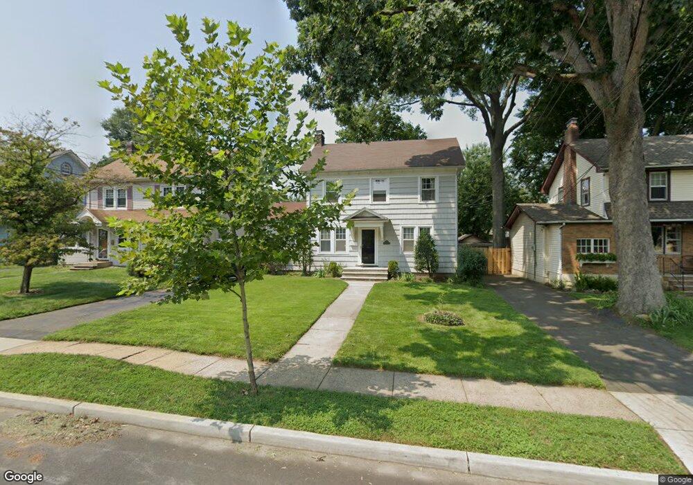
1147 Gresham Rd Unit 49 Plainfield, NJ 07062
Estimated Value: $430,511 - $642,000
Studio
--
Bath
1,617
Sq Ft
$353/Sq Ft
Est. Value
About This Home
This home is located at 1147 Gresham Rd Unit 49, Plainfield, NJ 07062 and is currently estimated at $571,378, approximately $353 per square foot. 1147 Gresham Rd Unit 49 is a home located in Union County with nearby schools including Frederic W. Cook School, Emerson Community School, and Maxson Middle School.
Ownership History
Date
Name
Owned For
Owner Type
Purchase Details
Closed on
Aug 31, 2009
Sold by
Drummond Christopher
Bought by
Armstrong Wendell
Current Estimated Value
Home Financials for this Owner
Home Financials are based on the most recent Mortgage that was taken out on this home.
Original Mortgage
$267,551
Outstanding Balance
$171,572
Interest Rate
5.21%
Mortgage Type
FHA
Estimated Equity
$399,806
Purchase Details
Closed on
Oct 7, 2003
Sold by
Rutty Michael
Bought by
Drummond Christopher
Home Financials for this Owner
Home Financials are based on the most recent Mortgage that was taken out on this home.
Original Mortgage
$180,600
Interest Rate
6.01%
Purchase Details
Closed on
Aug 26, 1993
Sold by
Grehan Alfred
Bought by
Rutly Michael F
Home Financials for this Owner
Home Financials are based on the most recent Mortgage that was taken out on this home.
Original Mortgage
$125,000
Interest Rate
7.16%
Create a Home Valuation Report for This Property
The Home Valuation Report is an in-depth analysis detailing your home's value as well as a comparison with similar homes in the area
Home Values in the Area
Average Home Value in this Area
Purchase History
| Date | Buyer | Sale Price | Title Company |
|---|---|---|---|
| Armstrong Wendell | $272,500 | Multiple | |
| Drummond Christopher | $234,000 | -- | |
| Rutly Michael F | $135,000 | -- |
Source: Public Records
Mortgage History
| Date | Status | Borrower | Loan Amount |
|---|---|---|---|
| Open | Armstrong Wendell | $267,551 | |
| Previous Owner | Drummond Christopher | $180,600 | |
| Previous Owner | Rutly Michael F | $125,000 |
Source: Public Records
Tax History
| Year | Tax Paid | Tax Assessment Tax Assessment Total Assessment is a certain percentage of the fair market value that is determined by local assessors to be the total taxable value of land and additions on the property. | Land | Improvement |
|---|---|---|---|---|
| 2025 | $9,413 | $107,800 | $42,800 | $65,000 |
| 2024 | $9,320 | $107,800 | $42,800 | $65,000 |
| 2023 | $9,320 | $107,800 | $42,800 | $65,000 |
| 2022 | $9,119 | $107,800 | $42,800 | $65,000 |
| 2021 | $9,039 | $107,800 | $42,800 | $65,000 |
| 2020 | $9,013 | $107,800 | $42,800 | $65,000 |
| 2019 | $9,013 | $107,800 | $42,800 | $65,000 |
| 2018 | $8,825 | $107,800 | $42,800 | $65,000 |
| 2017 | $8,609 | $107,800 | $42,800 | $65,000 |
| 2016 | $8,433 | $107,800 | $42,800 | $65,000 |
| 2015 | $8,184 | $107,800 | $42,800 | $65,000 |
| 2014 | -- | $107,800 | $42,800 | $65,000 |
Source: Public Records
Map
Nearby Homes
- 835 Dixie Ln Unit 37
- 633 Woodland Ave Unit 37
- 848 Adam Cir
- 724 Central St
- 837 Coolidge St Unit 39
- 917 Fernwood Ave Unit 23
- 767 Ravine Rd Unit 73
- 1365 Columbia Ave Unit 69
- 741-43 Berckman St
- 812 George St Unit 18
- 1127-29 Earle Place
- 1127 Earle Place Unit 29
- 1364 George St
- 904 Sterling St
- 808 E 3rd St
- 930 Cushing Place Unit 32
- 1464 Jean Terrace Unit 68
- 836 E 2nd St Unit 38
- 358-400 E 2nd St
- 1415 George St Unit 23
- 1151 Gresham Rd Unit 53
- 1143 Gresham Rd Unit 45
- 1137 Gresham Rd Unit 41
- 1138 E 7th St Unit 40
- 1134 E 7th St Unit 36
- 1142 E 7th St Unit 44
- 1155 Gresham Rd Unit 61
- 1159 Gresham Rd
- 1135 Gresham Rd
- 1133 Gresham Rd Unit 35
- 1142-44 E 7th St
- 1144 E 7th St
- 1144 Gresham Rd
- 1130 E 7th St Unit 32
- 1146 E 7th St Unit 48
- 1142-44 Gresham Rd
- 1142 Gresham Rd Unit 44
- 1146 Gresham Rd Unit 48
- 1150 Gresham Rd Unit 52
- 1126 E 7th St Unit 28
Your Personal Tour Guide
Ask me questions while you tour the home.