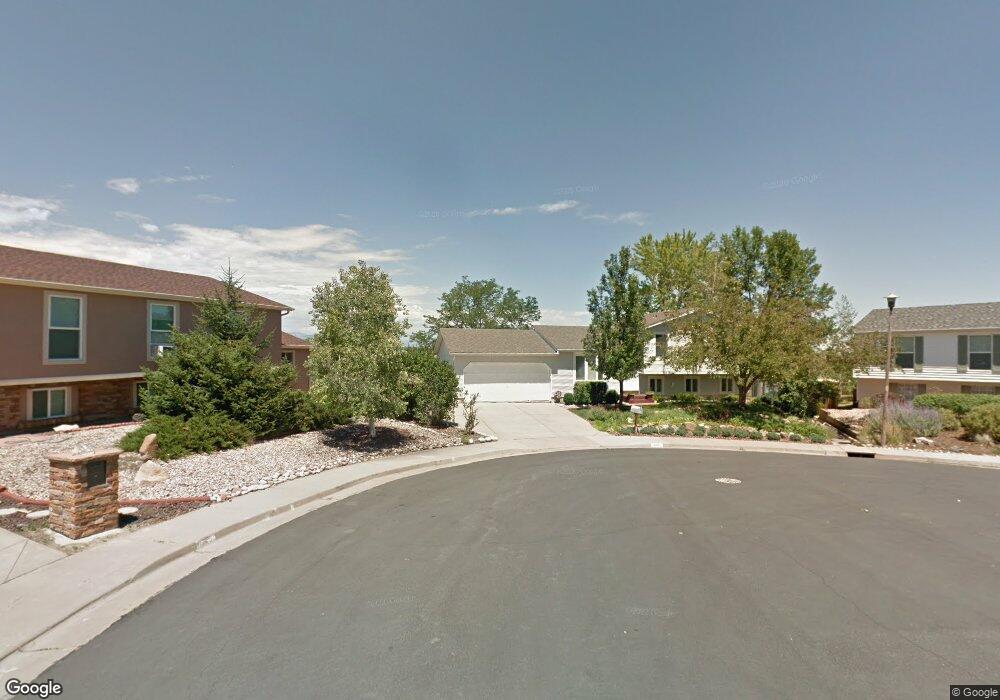
1147 Maple Cir Broomfield, CO 80020
Lac Amora NeighborhoodEstimated Value: $592,000 - $713,000
3
Beds
3
Baths
2,286
Sq Ft
$278/Sq Ft
Est. Value
About This Home
This home is located at 1147 Maple Cir, Broomfield, CO 80020 and is currently estimated at $635,592, approximately $278 per square foot. 1147 Maple Cir is a home located in Broomfield County with nearby schools including Aspen Creek K-8 School, Broomfield High School, and Nativity: Faith and Reason.
Ownership History
Date
Name
Owned For
Owner Type
Purchase Details
Closed on
May 11, 2009
Sold by
Payne Thomas J
Bought by
Head Timothy G
Current Estimated Value
Home Financials for this Owner
Home Financials are based on the most recent Mortgage that was taken out on this home.
Original Mortgage
$231,200
Outstanding Balance
$145,999
Interest Rate
4.84%
Mortgage Type
Purchase Money Mortgage
Estimated Equity
$489,593
Purchase Details
Closed on
May 5, 1992
Purchase Details
Closed on
May 30, 1985
Create a Home Valuation Report for This Property
The Home Valuation Report is an in-depth analysis detailing your home's value as well as a comparison with similar homes in the area
Home Values in the Area
Average Home Value in this Area
Purchase History
| Date | Buyer | Sale Price | Title Company |
|---|---|---|---|
| Head Timothy G | $289,000 | Title America | |
| -- | $95,000 | -- | |
| -- | $91,500 | -- |
Source: Public Records
Mortgage History
| Date | Status | Borrower | Loan Amount |
|---|---|---|---|
| Open | Head Timothy G | $231,200 |
Source: Public Records
Tax History Compared to Growth
Tax History
| Year | Tax Paid | Tax Assessment Tax Assessment Total Assessment is a certain percentage of the fair market value that is determined by local assessors to be the total taxable value of land and additions on the property. | Land | Improvement |
|---|---|---|---|---|
| 2025 | $3,924 | $41,110 | $12,660 | $28,450 |
| 2024 | $3,924 | $41,880 | $11,640 | $30,240 |
| 2023 | $3,917 | $47,260 | $13,140 | $34,120 |
| 2022 | $3,376 | $34,920 | $8,910 | $26,010 |
| 2021 | $3,359 | $35,930 | $9,170 | $26,760 |
| 2020 | $3,234 | $34,380 | $8,690 | $25,690 |
| 2019 | $3,228 | $34,620 | $8,750 | $25,870 |
| 2018 | $2,714 | $28,750 | $6,000 | $22,750 |
| 2017 | $2,673 | $31,780 | $6,630 | $25,150 |
| 2016 | $2,356 | $24,980 | $6,630 | $18,350 |
| 2015 | $2,274 | $22,330 | $6,630 | $15,700 |
| 2014 | $2,078 | $22,330 | $6,630 | $15,700 |
Source: Public Records
Map
Nearby Homes
- 1043 Lilac Ct
- 1087 Lilac St
- 3132 W 10th Avenue Place
- 1179 Lilac St
- 880 Lilac St
- 2340 Rim Dr
- 2150 Ridge Dr
- 2191 Ridge Dr
- 639 Quartz Way
- 1010 Opal St Unit 102
- 1740 W 6th Ave
- 1320 W 12th Ave
- 1148 Opal St Unit 101
- 1176 Opal St Unit 104
- 1176 Opal St Unit 102
- 1196 Opal St Unit 201
- 1190 W 11th Ct
- 1196 Sunset Dr
- 1035 Iris St
- 680 Kalmia Way
- 1145 Maple Cir
- 1155 Maple Cir
- 1157 Maple Cir
- 1137 Maple Cir
- 1165 Maple Cir
- 1175 Maple Dr
- 1167 Maple Dr
- 1135 Maple Cir
- 3041 Rock Creek Dr
- 1125 Maple Ct
- 1117 Maple Ct
- 3051 Rock Creek Dr
- 1177 Maple Dr
- 1127 Maple Ct
- 3059 N Oak Cir
- 3061 Rock Creek Dr
- 1154 Maple Dr
- 1144 Maple Dr
- 1164 Maple Dr
- 3070 N Oak Cir