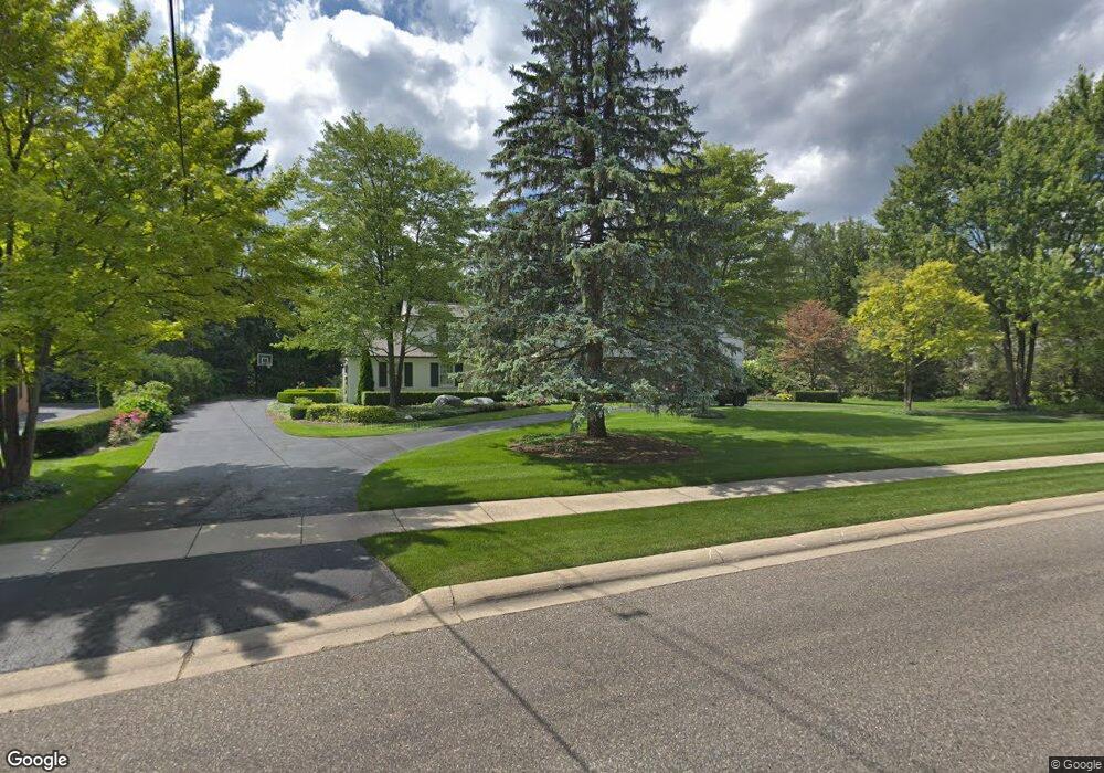
1147 N Glengarry Rd Bloomfield Hills, MI 48301
Estimated Value: $1,821,703 - $2,331,000
4
Beds
5
Baths
4,090
Sq Ft
$497/Sq Ft
Est. Value
About This Home
This home is located at 1147 N Glengarry Rd, Bloomfield Hills, MI 48301 and is currently estimated at $2,031,926, approximately $496 per square foot. 1147 N Glengarry Rd is a home located in Oakland County with nearby schools including Quarton Elementary, Derby Middle School, and Ernest W. Seaholm High School.
Ownership History
Date
Name
Owned For
Owner Type
Purchase Details
Closed on
Jun 28, 2021
Sold by
Schwartz Joseph E and Schwartz Mary
Bought by
Kisabeth Andrew and Kisabeth Melissa
Current Estimated Value
Home Financials for this Owner
Home Financials are based on the most recent Mortgage that was taken out on this home.
Original Mortgage
$1,268,250
Outstanding Balance
$1,147,915
Interest Rate
3.02%
Estimated Equity
$884,011
Purchase Details
Closed on
Sep 22, 2000
Sold by
Sharon A Cooper Tr
Bought by
Schwartz Joseph E
Purchase Details
Closed on
Apr 17, 1996
Sold by
Pulte Thomas M
Bought by
Sharon A Cooper Tr
Home Financials for this Owner
Home Financials are based on the most recent Mortgage that was taken out on this home.
Original Mortgage
$500,000
Interest Rate
7.91%
Create a Home Valuation Report for This Property
The Home Valuation Report is an in-depth analysis detailing your home's value as well as a comparison with similar homes in the area
Home Values in the Area
Average Home Value in this Area
Purchase History
| Date | Buyer | Sale Price | Title Company |
|---|---|---|---|
| Kisabeth Andrew | -- | Vanguard Title Company | |
| Schwartz Joseph E | $1,150,000 | -- | |
| Sharon A Cooper Tr | $805,000 | -- |
Source: Public Records
Mortgage History
| Date | Status | Borrower | Loan Amount |
|---|---|---|---|
| Open | Kisabeth Andrew | $1,268,250 | |
| Previous Owner | Sharon A Cooper Tr | $500,000 | |
| Closed | Schwartz Joseph E | -- |
Source: Public Records
Tax History Compared to Growth
Tax History
| Year | Tax Paid | Tax Assessment Tax Assessment Total Assessment is a certain percentage of the fair market value that is determined by local assessors to be the total taxable value of land and additions on the property. | Land | Improvement |
|---|---|---|---|---|
| 2024 | $15,109 | $764,970 | $0 | $0 |
| 2023 | $14,500 | $691,980 | $0 | $0 |
| 2022 | $25,861 | $666,670 | $0 | $0 |
| 2021 | $19,992 | $685,520 | $0 | $0 |
| 2020 | $10,802 | $681,920 | $0 | $0 |
| 2019 | $19,931 | $721,130 | $0 | $0 |
| 2018 | $19,718 | $669,240 | $0 | $0 |
| 2017 | $19,720 | $661,350 | $0 | $0 |
| 2016 | $19,831 | $637,690 | $0 | $0 |
| 2015 | -- | $579,830 | $0 | $0 |
| 2014 | -- | $530,620 | $0 | $0 |
| 2011 | -- | $439,410 | $0 | $0 |
Source: Public Records
Map
Nearby Homes
- 1348 Charrington Rd
- 1287 Charrington Rd
- 2579 Amberly Rd
- 3546 Bloomfield Club Dr
- 1019 N Cranbrook Rd
- 5825 Lahser Rd
- 3320 Morningview Terrace
- 270 Martell Dr
- 100 Overhill Rd
- 596 Rudgate Rd
- 375 Dunston Rd
- 956 Westwood Dr
- 1120 Lyonhurst St
- 231 Wadsworth Ln
- 1260 Lyonhurst St
- 692 Bennington Dr
- 1882 Melbourne St
- 345 Kimberly St
- 397 S Cranbrook Rd
- 1834 Fairview St
- 1067 N Glengarry Rd
- 1152 W Glengarry Cir
- 1173 W Glengarry Cir
- 1187 W Glengarry Cir
- 1150 N Glengarry Rd
- 1052 N Glengarry Rd
- 1033 N Glengarry Rd
- 1157 W Glengarry Cir
- 1211 Sandringham Way
- 1123 E Glengarry Cir
- 1261 Twin Maples Ln
- 1221 N Glengarry Rd
- 1208 Sandringham Way
- 1010 N Glengarry Rd
- 1111 W Glengarry Cir
- 1234 N Glengarry Rd
- 1000 W Glengarry Cir Unit Bldg-Unit
- 1000 W Glengarry Cir
- 1015 N Glengarry Rd
- 1051 W Glengarry Cir