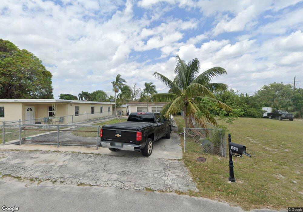
1147 Peak Rd Lantana, FL 33462
San Castle NeighborhoodEstimated Value: $226,000 - $284,000
1
Bed
1
Bath
768
Sq Ft
$329/Sq Ft
Est. Value
About This Home
This home is located at 1147 Peak Rd, Lantana, FL 33462 and is currently estimated at $252,845, approximately $329 per square foot. 1147 Peak Rd is a home located in Palm Beach County with nearby schools including Rolling Green Elementary School, Boynton Beach Community High School, and Calf Pen Meadow Elementary School.
Ownership History
Date
Name
Owned For
Owner Type
Purchase Details
Closed on
Aug 10, 2006
Sold by
Chavez Cynthia and Chavez Elizabeth
Bought by
Chavez Felipe and Chavez Maria D
Current Estimated Value
Purchase Details
Closed on
Mar 27, 2000
Sold by
Chavez Felipe and Chavez Maria D
Bought by
Chavez Cynthia and Chavez Elizabeth
Home Financials for this Owner
Home Financials are based on the most recent Mortgage that was taken out on this home.
Original Mortgage
$40,388
Interest Rate
8.37%
Mortgage Type
FHA
Create a Home Valuation Report for This Property
The Home Valuation Report is an in-depth analysis detailing your home's value as well as a comparison with similar homes in the area
Home Values in the Area
Average Home Value in this Area
Purchase History
| Date | Buyer | Sale Price | Title Company |
|---|---|---|---|
| Chavez Felipe | -- | Atlantic East Title Inc | |
| Chavez Cynthia | $40,000 | -- |
Source: Public Records
Mortgage History
| Date | Status | Borrower | Loan Amount |
|---|---|---|---|
| Previous Owner | Chavez Cynthia | $40,388 |
Source: Public Records
Tax History Compared to Growth
Tax History
| Year | Tax Paid | Tax Assessment Tax Assessment Total Assessment is a certain percentage of the fair market value that is determined by local assessors to be the total taxable value of land and additions on the property. | Land | Improvement |
|---|---|---|---|---|
| 2024 | $2,064 | $69,265 | -- | -- |
| 2023 | $1,959 | $62,968 | $77,354 | $69,777 |
| 2022 | $1,950 | $57,244 | $0 | $0 |
| 2021 | $1,637 | $107,335 | $48,000 | $59,335 |
| 2020 | $1,655 | $116,163 | $66,000 | $50,163 |
| 2019 | $1,493 | $96,671 | $44,000 | $52,671 |
| 2018 | $1,240 | $72,994 | $22,315 | $50,679 |
| 2017 | $1,119 | $62,323 | $13,947 | $48,376 |
| 2016 | $1,034 | $32,313 | $0 | $0 |
| 2015 | $776 | $20,559 | $0 | $0 |
| 2014 | $720 | $18,690 | $0 | $0 |
Source: Public Records
Map
Nearby Homes
- 1093 Highview Rd
- 1079 Highview Rd
- 1191 Highview Rd
- 1076 Highview Rd
- 00 Highland Rd
- 1228 Highview Rd
- 3313 Grove Rd
- 1141 S Ridge Rd
- 7890 Overlook Rd
- 7874 Griswold St
- 1047 Miner Rd
- 7805 Loomis St
- 7772 Loomis St
- 7905 Loomis St Unit 7905-7907
- 8037 Ambach Way Unit 24D
- 657 Waterside Dr Unit 14
- 130 S Atlantic Dr E
- 0 N Atlantic Dr
- 7937 Coral St
- 3196 N Seacrest Blvd