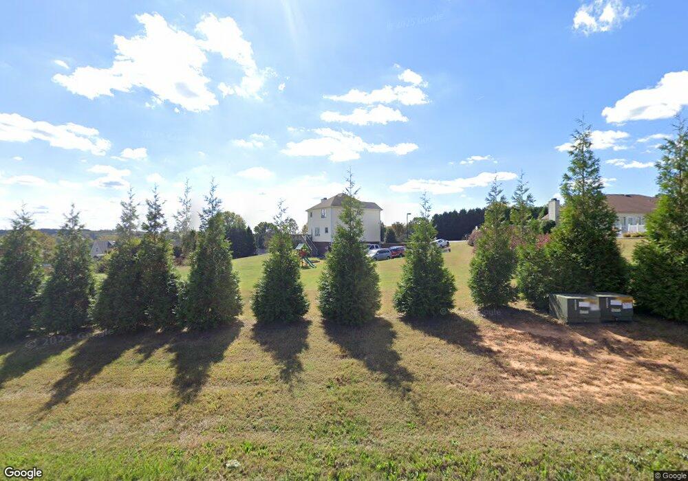
1147 Riverpointe Dr East Bend, NC 27018
Estimated Value: $288,000 - $345,000
3
Beds
3
Baths
1,760
Sq Ft
$179/Sq Ft
Est. Value
About This Home
This home is located at 1147 Riverpointe Dr, East Bend, NC 27018 and is currently estimated at $315,535, approximately $179 per square foot. 1147 Riverpointe Dr is a home located in Yadkin County.
Ownership History
Date
Name
Owned For
Owner Type
Purchase Details
Closed on
Apr 16, 2010
Sold by
Federal National Mortgage Association
Bought by
Roels Jason and Roels Heather
Current Estimated Value
Home Financials for this Owner
Home Financials are based on the most recent Mortgage that was taken out on this home.
Original Mortgage
$121,428
Outstanding Balance
$80,634
Interest Rate
4.94%
Mortgage Type
New Conventional
Estimated Equity
$234,901
Purchase Details
Closed on
Sep 21, 2009
Sold by
Matthews Anthony Gene
Bought by
Fannie Mae
Create a Home Valuation Report for This Property
The Home Valuation Report is an in-depth analysis detailing your home's value as well as a comparison with similar homes in the area
Purchase History
We collect this data history from publicly available records. To have your information removed, we recommend requesting removal directly through your county’s website.
| Date | Buyer | Sale Price | Title Company |
|---|---|---|---|
| Roels Jason | -- | -- | |
| Fannie Mae | $164,837 | -- |
Source: Public Records
Mortgage History
We collect this data history from publicly available records. To have your information removed, we recommend requesting removal directly through your county’s website.
| Date | Status | Borrower | Loan Amount |
|---|---|---|---|
| Open | Roels Jason | $121,428 |
Source: Public Records
Tax History
| Year | Tax Paid | Tax Assessment Tax Assessment Total Assessment is a certain percentage of the fair market value that is determined by local assessors to be the total taxable value of land and additions on the property. | Land | Improvement |
|---|---|---|---|---|
| 2025 | $1,667 | $225,626 | $45,334 | $180,292 |
| 2024 | $1,651 | $225,626 | $45,334 | $180,292 |
| 2023 | $1,230 | $225,626 | $45,334 | $180,292 |
| 2022 | $1,230 | $160,814 | $0 | $0 |
| 2021 | $1,217 | $160,814 | $41,212 | $119,602 |
| 2020 | $1,217 | $160,814 | $41,212 | $119,602 |
| 2019 | $1,217 | $160,814 | $41,212 | $119,602 |
| 2018 | $1,242 | $160,814 | $41,212 | $119,602 |
| 2017 | $1,209 | $160,814 | $41,212 | $119,602 |
| 2016 | $1,323 | $176,761 | $41,212 | $135,549 |
Source: Public Records
Map
Nearby Homes
- 6601 E Old Us Highway 421
- 8126 Hilltop Farms Dr
- 8112 Hilltop Farms Dr
- 2190 Benwicke Dr
- 2188 Benwicke Dr
- 2194 Benwicke Dr
- 2145 Benwicke Dr
- 2133 Benwicke Dr
- 2138 Spring Wind Rd
- 7387 Tristram Dr
- 7291 Pellinore Dr
- 0 Conrad Rd
- 8003 Summit Park Dr
- 908 Limberlost Ln
- 885 Tierney Dr
- 9674 Lissara Camp Ct
- 9664 Lissara Camp Ct
- 00A Conrad Rd
- 639 Lissara Lodge Dr
- 710 Dorse Rd
- 1141 Riverpointe Dr
- 1144 Riverpointe Dr
- 1137 Riverpointe Dr
- 1012 Riverpointe Dr
- 1016 Riverpointe Dr
- 1132 Riverpointe Dr
- 1020 Riverpointe Dr
- 1008 Riverpointe Dr
- 1133 Riverpointe Dr
- 1000 Riverpointe Dr
- 1116 Riverpointe Dr
- 1024 Riverpointe Dr
- 1129 Riverpointe Dr
- 4 Riverpointe Dr
- 26 Riverpointe Dr
- 7 Riverpointe Dr
- 1108 Riverpointe Dr
- 1011 Riverpointe Dr
- 1009 Riverpointe Dr
- 1005 Riverpointe Dr
Your Personal Tour Guide
Ask me questions while you tour the home.