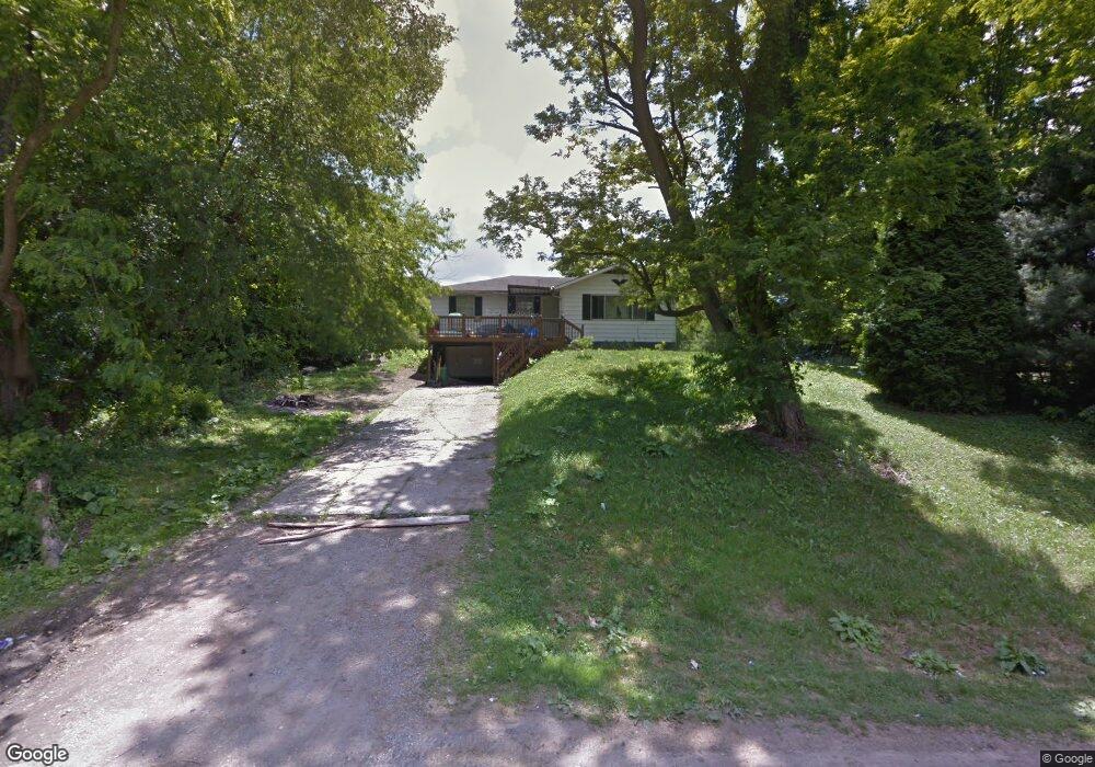
1147 Wade Dr Mansfield, OH 44906
Estimated Value: $123,567 - $200,000
3
Beds
1
Bath
1,064
Sq Ft
$139/Sq Ft
Est. Value
About This Home
This home is located at 1147 Wade Dr, Mansfield, OH 44906 and is currently estimated at $148,392, approximately $139 per square foot. 1147 Wade Dr is a home located in Richland County with nearby schools including Foundation Academy, Mansfield Elective Academy, and Goal Digital Academy.
Ownership History
Date
Name
Owned For
Owner Type
Purchase Details
Closed on
Apr 18, 2025
Sold by
Dyer Earn E
Bought by
Dyer Family Irrevocable Living Trust and Dyer
Current Estimated Value
Purchase Details
Closed on
Aug 15, 2017
Sold by
Richland County Land Reutilization Corpo
Bought by
Dyer Earn E
Purchase Details
Closed on
Jun 2, 2016
Sold by
Dropsey Patrick W
Bought by
Richland County Land Reutilization Corpo
Purchase Details
Closed on
Feb 21, 2001
Sold by
Est Fari P Adams
Bought by
Vasquez Norbert
Create a Home Valuation Report for This Property
The Home Valuation Report is an in-depth analysis detailing your home's value as well as a comparison with similar homes in the area
Home Values in the Area
Average Home Value in this Area
Purchase History
| Date | Buyer | Sale Price | Title Company |
|---|---|---|---|
| Dyer Family Irrevocable Living Trust | -- | None Listed On Document | |
| Dyer Family Irrevocable Living Trust | -- | None Listed On Document | |
| Dyer Earn E | -- | None Available | |
| Richland County Land Reutilization Corpo | -- | None Available | |
| Vasquez Norbert | $55,000 | -- |
Source: Public Records
Tax History
| Year | Tax Paid | Tax Assessment Tax Assessment Total Assessment is a certain percentage of the fair market value that is determined by local assessors to be the total taxable value of land and additions on the property. | Land | Improvement |
|---|---|---|---|---|
| 2024 | $4 | $80 | $80 | $0 |
| 2023 | $4 | $80 | $80 | $0 |
| 2022 | $5 | $80 | $80 | $0 |
| 2021 | $5 | $80 | $80 | $0 |
| 2020 | $1,578 | $23,080 | $3,980 | $19,100 |
| 2019 | $5 | $70 | $70 | $0 |
| 2018 | $5 | $70 | $70 | $0 |
| 2017 | $1,407 | $19,570 | $3,380 | $16,190 |
| 2016 | $1,435 | $19,630 | $3,450 | $16,180 |
| 2015 | $2,069 | $19,630 | $3,450 | $16,180 |
| 2014 | $2,048 | $19,630 | $3,450 | $16,180 |
| 2012 | $914 | $20,670 | $3,640 | $17,030 |
Source: Public Records
Map
Nearby Homes
- 1092 N Trimble Rd
- 1101 Lenox Ave
- 1087 Fairfax Ave
- 1005 Truxell Dr
- 1077 Benedict Ave
- 933 Fairfax Ave
- 878 Fairfax Ave
- 1501 Bowman St
- 1590 Walker Woods Blvd
- 1592 Walker Woods Blvd
- 640 Hanna Rd
- 891 Springmill Rd
- Lot 2 Spring Village Ln
- 728 N Trimble Rd
- 739 Armstrong St
- 641 Averill Ave
- 1980 Walker Lake Rd
- 572 France St
- 395 Cairns Rd
- 1909 Teakwood Dr
Your Personal Tour Guide
Ask me questions while you tour the home.