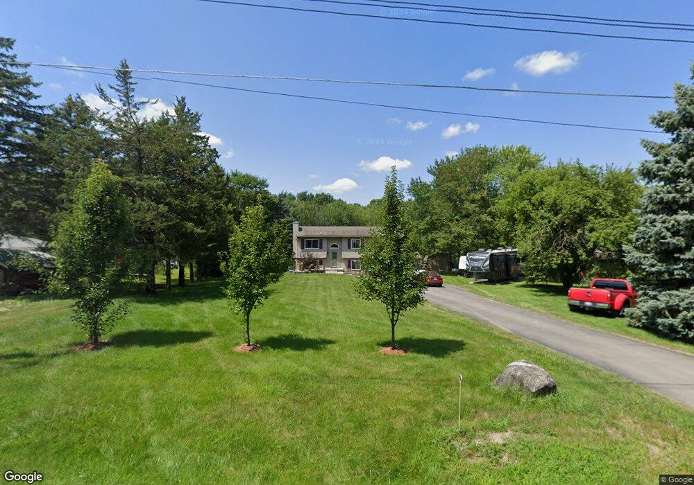
11470 Post Ln South Lyon, MI 48178
Estimated Value: $398,350 - $470,000
4
Beds
3
Baths
1,761
Sq Ft
$244/Sq Ft
Est. Value
About This Home
This home is located at 11470 Post Ln, South Lyon, MI 48178 and is currently estimated at $429,838, approximately $244 per square foot. 11470 Post Ln is a home located in Livingston County with nearby schools including William A. Brummer Elementary School, Millennium Middle School, and South Lyon East High School.
Ownership History
Date
Name
Owned For
Owner Type
Purchase Details
Closed on
Apr 30, 2010
Sold by
Us Bank National Association
Bought by
Webb Phillip A and Webb Phil A
Current Estimated Value
Purchase Details
Closed on
Apr 15, 2005
Sold by
Pfander Richard A and Pfander Valerie A
Bought by
Tifrere Judy and Ackerman Adelbert
Create a Home Valuation Report for This Property
The Home Valuation Report is an in-depth analysis detailing your home's value as well as a comparison with similar homes in the area
Home Values in the Area
Average Home Value in this Area
Purchase History
| Date | Buyer | Sale Price | Title Company |
|---|---|---|---|
| Webb Phillip A | $121,900 | -- | |
| Tifrere Judy | $249,000 | Metropolitan Title Company |
Source: Public Records
Tax History Compared to Growth
Tax History
| Year | Tax Paid | Tax Assessment Tax Assessment Total Assessment is a certain percentage of the fair market value that is determined by local assessors to be the total taxable value of land and additions on the property. | Land | Improvement |
|---|---|---|---|---|
| 2025 | $3,048 | $155,300 | $0 | $0 |
| 2024 | $1,800 | $128,000 | $0 | $0 |
| 2023 | $1,717 | $139,400 | $0 | $0 |
| 2022 | $2,584 | $108,200 | $0 | $0 |
| 2021 | $2,584 | $113,200 | $0 | $0 |
| 2020 | $2,581 | $107,500 | $0 | $0 |
| 2019 | $2,611 | $108,200 | $0 | $0 |
| 2018 | $2,590 | $101,000 | $0 | $0 |
| 2017 | $2,632 | $99,100 | $0 | $0 |
| 2016 | $2,608 | $82,200 | $0 | $0 |
| 2014 | $2,222 | $68,800 | $0 | $0 |
| 2012 | $2,222 | $69,200 | $0 | $0 |
Source: Public Records
Map
Nearby Homes
- 11385 Scotch Ct Unit 26
- 64164 W 8 Mile Rd
- 10832 Eagle Cove Dr
- 11090 Stony River Ct
- 11045 Woodland Ridge Ct
- 22649 N Dixboro Rd
- 11108 Wood Run Cir
- 11078 Wood Run Cir
- 9240 Earhart Rd
- 13802 Forest Ridge Cir
- 891 Westhills Dr
- 12518 Clover Ln
- 9310 S Rushton Rd
- 61555 Brookway Dr
- 702 Westhills Dr
- 12324 Nantucket Dr Unit 1
- 12485 Cambridge Blvd Unit 2
- 12493 Cambridge Blvd Unit 44
- 12421 Cambridge Blvd Unit 4
- 24917 Martindale Rd