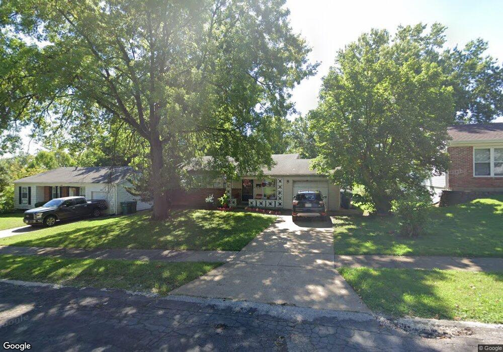
1148 Huntsman Dr Saint Louis, MO 63137
Estimated Value: $107,000 - $134,000
3
Beds
2
Baths
940
Sq Ft
$125/Sq Ft
Est. Value
About This Home
This home is located at 1148 Huntsman Dr, Saint Louis, MO 63137 and is currently estimated at $117,388, approximately $124 per square foot. 1148 Huntsman Dr is a home located in St. Louis County with nearby schools including Riverview Gardens Senior High School and Grace Chapel Lutheran School.
Ownership History
Date
Name
Owned For
Owner Type
Purchase Details
Closed on
Jul 9, 2012
Sold by
Strutman David E
Bought by
Moncey Properties Llc
Current Estimated Value
Home Financials for this Owner
Home Financials are based on the most recent Mortgage that was taken out on this home.
Original Mortgage
$5,000
Interest Rate
3.79%
Mortgage Type
Unknown
Purchase Details
Closed on
Apr 21, 2010
Sold by
Strutman Robert W and Strutman Marie L
Bought by
Strutman Marie L and Strutman David E
Create a Home Valuation Report for This Property
The Home Valuation Report is an in-depth analysis detailing your home's value as well as a comparison with similar homes in the area
Home Values in the Area
Average Home Value in this Area
Purchase History
| Date | Buyer | Sale Price | Title Company |
|---|---|---|---|
| Moncey Properties Llc | $40,000 | Us Title Main | |
| Strutman Marie L | -- | None Available |
Source: Public Records
Mortgage History
| Date | Status | Borrower | Loan Amount |
|---|---|---|---|
| Closed | Moncey Properties Llc | $5,000 |
Source: Public Records
Tax History Compared to Growth
Tax History
| Year | Tax Paid | Tax Assessment Tax Assessment Total Assessment is a certain percentage of the fair market value that is determined by local assessors to be the total taxable value of land and additions on the property. | Land | Improvement |
|---|---|---|---|---|
| 2025 | $2,237 | $20,180 | $2,280 | $17,900 |
| 2024 | $2,237 | $19,460 | $2,890 | $16,570 |
| 2023 | $2,209 | $19,460 | $2,890 | $16,570 |
| 2022 | $1,731 | $12,160 | $2,280 | $9,880 |
| 2021 | $1,715 | $12,160 | $2,280 | $9,880 |
| 2020 | $1,379 | $10,620 | $1,840 | $8,780 |
| 2019 | $1,340 | $10,620 | $1,840 | $8,780 |
| 2018 | $1,317 | $9,770 | $840 | $8,930 |
| 2017 | $1,273 | $9,770 | $840 | $8,930 |
| 2016 | $1,334 | $10,110 | $1,180 | $8,930 |
| 2015 | $1,225 | $10,110 | $1,180 | $8,930 |
| 2014 | $1,190 | $9,860 | $2,010 | $7,850 |
Source: Public Records
Map
Nearby Homes
- 10477 Toelle Ln
- 10501 Lilac Ave
- 1090 Belgrove Dr
- 1098 Belgrove Dr
- 1205 Shepley Dr
- 10940 John James Dr
- 1050 Fry #B Ln
- 416 Midlothian Rd
- 329 Midlothian Rd
- 510 Wishaw Ct
- 332 Banff Cir
- 10617 Dunkeld Cir
- 437 Lancashire Rd
- 324 Shepley Dr
- 424 Lancashire Rd
- 448 Lancashire Rd
- 404 Lancashire Rd
- 10370 Renfrew Dr
- 437 Lanark Rd
- 252 Midlothian Rd
- 1152 Huntsman Dr
- 1140 Huntsman Dr
- 1158 Huntsman Dr
- 1149 Huntsman Dr
- 10661 Foxlair Dr
- 10649 Foxlair Dr
- 1131 Foxlair Dr
- 1164 Huntsman Dr
- 1153 Huntsman Dr
- 10643 Foxlair Dr
- 1139 Foxlair Dr
- 1159 Huntsman Dr
- 1150 Foxlair Dr
- 1143 Foxlair Dr
- 1165 Huntsman Dr
- 10637 Foxlair Dr
- 10705 Lilac Ave
- 1172 Huntsman Dr
- 10700 Lilac Ave
- 10668 Foxlair Dr