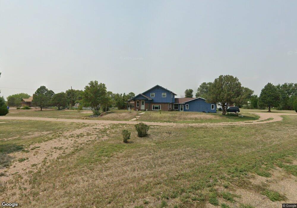
1148 Independence Blvd Unit 1 Las Animas, CO 81054
Estimated Value: $336,000 - $377,830
4
Beds
4
Baths
3,244
Sq Ft
$111/Sq Ft
Est. Value
About This Home
This home is located at 1148 Independence Blvd Unit 1, Las Animas, CO 81054 and is currently estimated at $358,708, approximately $110 per square foot. 1148 Independence Blvd Unit 1 is a home located in Bent County with nearby schools including Las Animas Elementary School, Las Animas Junior High School, and Las Animas High School.
Ownership History
Date
Name
Owned For
Owner Type
Purchase Details
Closed on
Oct 12, 2018
Sold by
Miller Michael E and Miller Katherine
Bought by
Lanning Scott C
Current Estimated Value
Home Financials for this Owner
Home Financials are based on the most recent Mortgage that was taken out on this home.
Original Mortgage
$237,590
Outstanding Balance
$207,193
Interest Rate
4.5%
Mortgage Type
VA
Estimated Equity
$151,515
Purchase Details
Closed on
Sep 19, 2000
Bought by
Miller Michael E and Miller Katherine
Create a Home Valuation Report for This Property
The Home Valuation Report is an in-depth analysis detailing your home's value as well as a comparison with similar homes in the area
Home Values in the Area
Average Home Value in this Area
Purchase History
| Date | Buyer | Sale Price | Title Company |
|---|---|---|---|
| Lanning Scott C | -- | None Available | |
| Miller Michael E | $500 | -- |
Source: Public Records
Mortgage History
| Date | Status | Borrower | Loan Amount |
|---|---|---|---|
| Open | Lanning Scott C | $237,590 |
Source: Public Records
Tax History Compared to Growth
Tax History
| Year | Tax Paid | Tax Assessment Tax Assessment Total Assessment is a certain percentage of the fair market value that is determined by local assessors to be the total taxable value of land and additions on the property. | Land | Improvement |
|---|---|---|---|---|
| 2024 | $908 | $16,335 | $639 | $15,696 |
| 2023 | $1,802 | $16,335 | $639 | $15,696 |
| 2022 | $1,425 | $20,210 | $790 | $19,420 |
| 2021 | $1,432 | $13,305 | $716 | $12,589 |
| 2020 | $1,054 | $9,722 | $716 | $9,006 |
| 2019 | $1,018 | $9,722 | $716 | $9,006 |
| 2018 | $1,018 | $9,261 | $721 | $8,540 |
| 2017 | $1,026 | $9,261 | $721 | $8,540 |
| 2016 | $1,112 | $10,088 | $798 | $9,290 |
| 2015 | -- | $10,088 | $798 | $9,290 |
| 2014 | -- | $10,086 | $796 | $9,290 |
Source: Public Records
Map
Nearby Homes
- 145 Liberty Ct
- 426 Poplar Ave
- 433 Grove Ave
- 651 Ash Ave
- 24 Bent Ave
- 312 Carson Ave
- 1103 Ambassador Thompson Blvd
- 509 5th St
- 1032 Locust Ave
- 1046 Locust Ave
- 1809 W 6th St
- 705 Locust Ave
- 621 Carson Ave
- 629 St Vrain Ave
- 626 St Vrain St
- 535 Moore Ave
- 626 St Vrain Ave
- 415 9th St
- 10928 Us Highway 50
- 535 10th St
- 1148 Independence Blvd
- 100 Liberty Ct
- 1208 Independence Blvd
- 1023 Independence Blvd
- 900 Independence Blvd
- 108 Poplar Ave
- 30049 Road 10
- 30050 Road 10
- 301 Poplar Ave
- 30037 County Road 10
- 30033 County Road 10
- 30015 Road 10
- 320 Ash Ave
- 309 Grove Ave
- 332 Ash Ave
- 25 Elm Ave
- 25 Elm Ave
- 310 Grove Ave
- 344 Ash Ave
- 1140 4th St