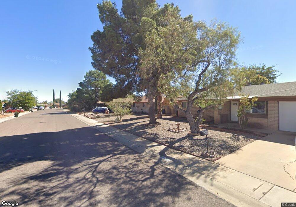
1148 N Catalina Dr Sierra Vista, AZ 85635
Estimated Value: $239,157 - $274,000
--
Bed
--
Bath
2,122
Sq Ft
$123/Sq Ft
Est. Value
About This Home
This home is located at 1148 N Catalina Dr, Sierra Vista, AZ 85635 and is currently estimated at $260,539, approximately $122 per square foot. 1148 N Catalina Dr is a home located in Cochise County with nearby schools including Bella Vista Elementary School, Joyce Clark Middle School, and Buena High School.
Ownership History
Date
Name
Owned For
Owner Type
Purchase Details
Closed on
Jun 15, 2021
Sold by
Lindroos Thomas J and Lindroos Hope V
Bought by
Lindroos Elizabeth Martha and Lindroos Kevin Nelson
Current Estimated Value
Home Financials for this Owner
Home Financials are based on the most recent Mortgage that was taken out on this home.
Original Mortgage
$7,266
Outstanding Balance
$6,582
Interest Rate
2.93%
Mortgage Type
New Conventional
Estimated Equity
$253,957
Purchase Details
Closed on
May 10, 2006
Sold by
Lindroos Thomas J
Bought by
Lindroos Thomas J and Lindroos Hope
Home Financials for this Owner
Home Financials are based on the most recent Mortgage that was taken out on this home.
Original Mortgage
$22,892
Interest Rate
6.46%
Mortgage Type
Credit Line Revolving
Create a Home Valuation Report for This Property
The Home Valuation Report is an in-depth analysis detailing your home's value as well as a comparison with similar homes in the area
Home Values in the Area
Average Home Value in this Area
Purchase History
| Date | Buyer | Sale Price | Title Company |
|---|---|---|---|
| Lindroos Elizabeth Martha | $185,000 | Pioneer Title Agency Inc | |
| Lindroos Thomas J | -- | Fidelity National Title |
Source: Public Records
Mortgage History
| Date | Status | Borrower | Loan Amount |
|---|---|---|---|
| Open | Lindroos Elizabeth Martha | $7,266 | |
| Open | Lindroos Elizabeth Martha | $181,649 | |
| Previous Owner | Lindroos Thomas J | $22,892 | |
| Previous Owner | Lindroos Thomas J | $166,108 |
Source: Public Records
Tax History Compared to Growth
Tax History
| Year | Tax Paid | Tax Assessment Tax Assessment Total Assessment is a certain percentage of the fair market value that is determined by local assessors to be the total taxable value of land and additions on the property. | Land | Improvement |
|---|---|---|---|---|
| 2025 | $1,123 | $17,788 | $3,500 | $14,288 |
| 2024 | $1,123 | $17,792 | $3,500 | $14,292 |
| 2023 | $1,127 | $14,461 | $2,400 | $12,061 |
| 2022 | $1,036 | $12,853 | $2,400 | $10,453 |
| 2021 | $1,251 | $12,008 | $2,400 | $9,608 |
| 2020 | $1,304 | $0 | $0 | $0 |
| 2019 | $1,301 | $0 | $0 | $0 |
| 2018 | $1,221 | $0 | $0 | $0 |
| 2017 | $1,318 | $0 | $0 | $0 |
| 2016 | $1,301 | $0 | $0 | $0 |
| 2015 | -- | $0 | $0 | $0 |
Source: Public Records
Map
Nearby Homes
- 1132 N Catalina Dr
- 1296 Ocotillo Dr
- 1188 Mesquite Dr
- 1016 Cholla Cir
- 890 Palo Verde Dr
- 813 Ocotillo Dr
- 1371 E Tacoma St
- 1164 Horner Dr
- 597 Hegge Dr
- 565 Raymond Dr
- 887 E Tacoma St
- 1172 Marchbanks Dr
- 611 Palo Verde Dr
- 1769 Knowlton St
- 224 E James Dr
- 1771 Knowlton St
- 1783 Knowlton St
- 832 Four Winds Cir
- TBD N 7th St Unit 10671321
- 0000 Cottonwood Lot 3 -- Unit 3
- 1164 N Catalina Dr
- 1141 Ocotillo Dr
- 1157 Ocotillo Dr
- 1125 Ocotillo Dr
- 1200 N Catalina Dr
- 1173 Ocotillo Dr
- 1116 N Catalina Dr
- 1165 N Catalina Dr
- 1149 N Catalina Dr
- 1109 Ocotillo Dr
- 1181 N Catalina Dr
- 1189 Ocotillo Dr
- 1133 N Catalina Dr
- 1100 N Catalina Dr
- 1217 N Catalina Dr
- 1216 N Catalina Dr
- 1089 Ocotillo Dr
- 1140 Ocotillo Dr
- 1117 N Catalina Dr
- 1156 Ocotillo Dr