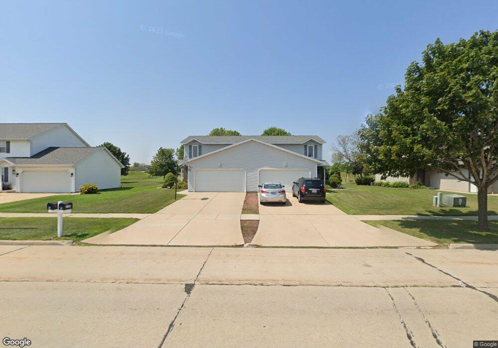
1148 S 9th St Unit 1150 de Pere, WI 54115
Estimated Value: $432,000 - $469,768
4
Beds
4
Baths
2,688
Sq Ft
$168/Sq Ft
Est. Value
About This Home
This home is located at 1148 S 9th St Unit 1150, de Pere, WI 54115 and is currently estimated at $450,442, approximately $167 per square foot. 1148 S 9th St Unit 1150 is a home located in Brown County with nearby schools including Westwood Elementary School, Cms Iacademy at Lincoln Jackson, and Desert Pride Academy.
Ownership History
Date
Name
Owned For
Owner Type
Purchase Details
Closed on
Dec 15, 2010
Sold by
Schoblaski Peter B
Bought by
Schoblaski Peter B and Schoblaski Lori A
Current Estimated Value
Home Financials for this Owner
Home Financials are based on the most recent Mortgage that was taken out on this home.
Original Mortgage
$132,000
Interest Rate
4.16%
Mortgage Type
New Conventional
Create a Home Valuation Report for This Property
The Home Valuation Report is an in-depth analysis detailing your home's value as well as a comparison with similar homes in the area
Home Values in the Area
Average Home Value in this Area
Purchase History
| Date | Buyer | Sale Price | Title Company |
|---|---|---|---|
| Schoblaski Peter B | -- | Title Revolution Llc |
Source: Public Records
Mortgage History
| Date | Status | Borrower | Loan Amount |
|---|---|---|---|
| Closed | Schoblaski Peter B | $132,000 |
Source: Public Records
Tax History Compared to Growth
Tax History
| Year | Tax Paid | Tax Assessment Tax Assessment Total Assessment is a certain percentage of the fair market value that is determined by local assessors to be the total taxable value of land and additions on the property. | Land | Improvement |
|---|---|---|---|---|
| 2024 | $5,900 | $405,600 | $61,600 | $344,000 |
| 2023 | $5,339 | $356,200 | $61,600 | $294,600 |
| 2022 | $5,369 | $320,600 | $61,600 | $259,000 |
| 2021 | $5,093 | $279,400 | $51,300 | $228,100 |
| 2020 | $5,164 | $263,000 | $51,300 | $211,700 |
| 2019 | $4,788 | $246,500 | $51,300 | $195,200 |
| 2018 | $4,713 | $234,500 | $51,300 | $183,200 |
| 2017 | $4,442 | $214,800 | $51,300 | $163,500 |
| 2016 | $4,458 | $214,800 | $51,300 | $163,500 |
| 2015 | $4,896 | $224,600 | $51,300 | $173,300 |
| 2014 | $4,912 | $224,600 | $51,300 | $173,300 |
| 2013 | $4,912 | $224,600 | $51,300 | $173,300 |
Source: Public Records
Map
Nearby Homes
- 1264 Franco Ct Unit 1266
- 1276 S 9th St
- 1213 Danena Dr
- 1002 Aldrin St
- 978 Saint Anthony Dr Unit 2
- 1410 S 7th St
- 1509 S 7th St
- 1120 S 6th St
- 1653 Crimson Ct
- 0 Scheuring Rd
- 657 Reid St
- 0 Main Ave
- 806 4th St
- 555 Main Ave Unit 110
- 555 Main Ave Unit 104
- 555 Main Ave Unit 111
- 555 Main Ave Unit 206
- 555 Main Ave Unit 113
- 721 Cedar St
- 2045 Lost Dauphin Rd
- 1132 S 9th St Unit 1134
- 1154 S 9th St Unit 1156
- 1116 S 9th St Unit 1118
- 1170 S 9th St Unit 1172
- 1100 S 9th St Unit 1102
- 1186 S 9th St Unit 1188
- 1072 S 9th St Unit 1074
- 1210 S 9th St
- 1165 S 9th St
- 1038 S 9th St Unit 1040
- 1218 Westwood Dr
- 1233 Franco Ct Unit 1235
- 1210 Westwood Dr
- 1004 S 9th St Unit 1006
- 1240 N Franco Ct
- 1242 N Franco Ct Unit 2
- 1240 N Franco Ct Unit 1
- 1222 S 9th St
- 1241 N Franco Ct Unit 1243
- 1202 Westwood Dr