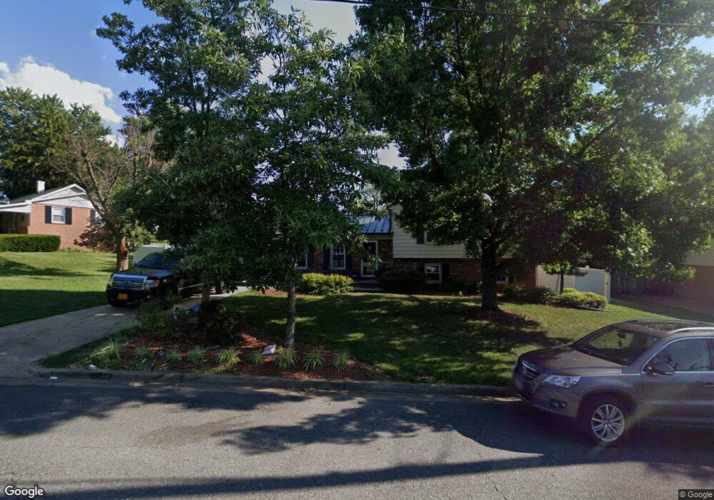
1148 Sharpes Dr Harrisonburg, VA 22801
Sunset Heights NeighborhoodEstimated Value: $357,000 - $428,000
4
Beds
3
Baths
1,873
Sq Ft
$214/Sq Ft
Est. Value
About This Home
This home is located at 1148 Sharpes Dr, Harrisonburg, VA 22801 and is currently estimated at $399,892, approximately $213 per square foot. 1148 Sharpes Dr is a home located in Harrisonburg City with nearby schools including Keister Elementary School, Thomas Harrison Middle School, and Harrisonburg High School.
Ownership History
Date
Name
Owned For
Owner Type
Purchase Details
Closed on
Jan 29, 2026
Sold by
Lopez Jesus Trinidad and Lopez Jesse Trinidad
Bought by
Lopez Leticia
Current Estimated Value
Purchase Details
Closed on
Jul 5, 2007
Sold by
Jones Stephen R and Jones Sarah F
Bought by
Largent Douglas A
Home Financials for this Owner
Home Financials are based on the most recent Mortgage that was taken out on this home.
Original Mortgage
$100,000
Interest Rate
6.87%
Mortgage Type
Adjustable Rate Mortgage/ARM
Create a Home Valuation Report for This Property
The Home Valuation Report is an in-depth analysis detailing your home's value as well as a comparison with similar homes in the area
Home Values in the Area
Average Home Value in this Area
Purchase History
| Date | Buyer | Sale Price | Title Company |
|---|---|---|---|
| Lopez Leticia | -- | None Listed On Document | |
| Largent Douglas A | -- | None Available |
Source: Public Records
Mortgage History
| Date | Status | Borrower | Loan Amount |
|---|---|---|---|
| Previous Owner | Largent Douglas A | $100,000 |
Source: Public Records
Tax History
| Year | Tax Paid | Tax Assessment Tax Assessment Total Assessment is a certain percentage of the fair market value that is determined by local assessors to be the total taxable value of land and additions on the property. | Land | Improvement |
|---|---|---|---|---|
| 2025 | $3,001 | $322,800 | $88,000 | $234,800 |
| 2024 | $3,001 | $297,100 | $77,000 | $220,100 |
| 2023 | $2,703 | $281,600 | $77,000 | $204,600 |
| 2022 | $2,342 | $251,800 | $70,000 | $181,800 |
| 2021 | $2,022 | $224,700 | $70,000 | $154,700 |
| 2020 | $1,910 | $218,600 | $70,000 | $148,600 |
| 2019 | $1,877 | $214,800 | $70,000 | $144,800 |
| 2018 | $1,476 | $214,300 | $70,000 | $144,300 |
| 2017 | $1,476 | $205,000 | $70,000 | $135,000 |
| 2016 | $1,476 | $205,000 | $70,000 | $135,000 |
| 2015 | $1,476 | $205,000 | $70,000 | $135,000 |
| 2014 | -- | $206,700 | $70,000 | $136,700 |
Source: Public Records
Map
Nearby Homes
- 1734 Amherst Ct
- 1424 Southampton Ct
- 56 South Ave Unit E
- 52 South Ave Unit K
- 430 Sunrise Ave
- 146 Maryland Ave
- 2132 Willow Hill Dr
- 2122 Willow Hill Dr
- 21 Port Republic Rd
- 2060 Willow Hill Dr
- 1466 Bluestone St
- 100 Monument Ave
- 200 Monument Ave
- 1744 Heritage Estates Cir
- 612 Zephyr Dr
- 745 Zephyr Dr
- 550 Grommet Dr
- 570 Wingtip Way
- 745 Wingtip Way
- 3.9 Ac Mt Clinton Pike
- 1152 Sharpes Dr
- 1140 Sharpes Dr
- 1135 Sharpes Dr
- 1150 Chestnut Dr
- 1156 Sharpes Dr
- 1136 Sharpes Dr
- 1142 Chestnut Dr
- 1130 Sharpes Dr
- 1131 Sharpes Dr
- 1141 S High St
- 1160 Sharpes Dr
- 1134 Chestnut Dr
- 1161 Sharpes Dr
- 1171 Dale Cir
- 1157 S High St
- 1167 Dale Cir
- 1124 Sharpes Dr
- 1123 Sharpes Dr
- 1126 Chestnut Dr
- 1169 S High St
Your Personal Tour Guide
Ask me questions while you tour the home.