1148 W 340 S Unit 51 American Fork, UT 84003
Estimated Value: $448,000 - $482,000
4
Beds
3
Baths
2,154
Sq Ft
$215/Sq Ft
Est. Value
About This Home
This home is located at 1148 W 340 S Unit 51, American Fork, UT 84003 and is currently estimated at $462,887, approximately $214 per square foot. 1148 W 340 S Unit 51 is a home located in Utah County with nearby schools including Greenwood Elementary School, American Fork Junior High School, and American Fork High School.
Ownership History
Date
Name
Owned For
Owner Type
Purchase Details
Closed on
Jul 31, 2025
Sold by
Edgewateraf Llc
Bought by
Taylor Michael Scott and Jarquin Ariadne Donis
Current Estimated Value
Purchase Details
Closed on
Jul 30, 2024
Sold by
Taylor Michael Scott
Bought by
Edgewateraf Llc
Purchase Details
Closed on
Aug 1, 2022
Sold by
Dr Horton Inc
Bought by
Taylor Michael Scott
Home Financials for this Owner
Home Financials are based on the most recent Mortgage that was taken out on this home.
Original Mortgage
$515,793
Interest Rate
5.81%
Mortgage Type
VA
Create a Home Valuation Report for This Property
The Home Valuation Report is an in-depth analysis detailing your home's value as well as a comparison with similar homes in the area
Home Values in the Area
Average Home Value in this Area
Purchase History
| Date | Buyer | Sale Price | Title Company |
|---|---|---|---|
| Taylor Michael Scott | -- | 1St Liberty Title | |
| Edgewateraf Llc | -- | 1St Liberty Title | |
| Taylor Michael Scott | -- | Cottonwood Title |
Source: Public Records
Mortgage History
| Date | Status | Borrower | Loan Amount |
|---|---|---|---|
| Previous Owner | Taylor Michael Scott | $515,793 |
Source: Public Records
Tax History Compared to Growth
Tax History
| Year | Tax Paid | Tax Assessment Tax Assessment Total Assessment is a certain percentage of the fair market value that is determined by local assessors to be the total taxable value of land and additions on the property. | Land | Improvement |
|---|---|---|---|---|
| 2025 | $2,170 | $233,530 | $62,400 | $362,200 |
| 2024 | $2,170 | $241,120 | $0 | $0 |
| 2023 | $1,979 | $233,090 | $0 | $0 |
| 2022 | $688 | $80,000 | $80,000 | $0 |
| 2021 | $801 | $80,000 | $80,000 | $0 |
Source: Public Records
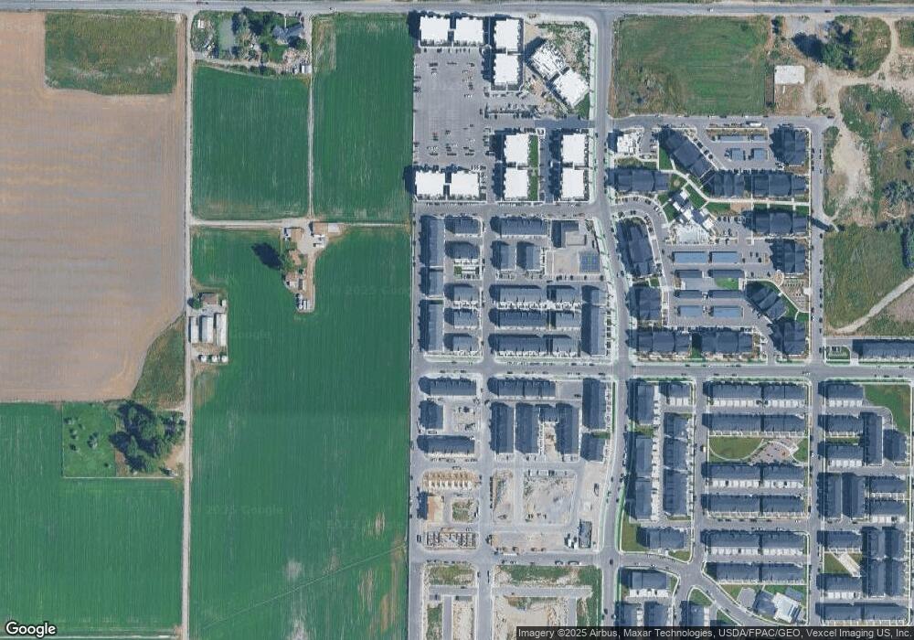
Map
Nearby Homes
- 1148 W 340 S Unit 49
- 1146 W 340 S
- 1146 W 340 S Unit 50
- 1144 W 340 S Unit 51
- 1142 W 340 S Unit 52
- 334 S 1150 W Unit 38
- 336 S 1150 W
- 338 S 1150 W Unit 40
- 332 S 1150 W
- 342 S 1150 W Unit 41
- 1147 W 340 S
- 1145 W 340 S Unit 46
- 344 S 1150 W Unit 42
- 1143 W 340 S Unit 47
- 1143 W 320 S
- 1141 W 340 S Unit 48
- 346 S 1150 W
- 328 S 1150 W Unit 36
- 326 S 1150 W
- 324 S 1150 W