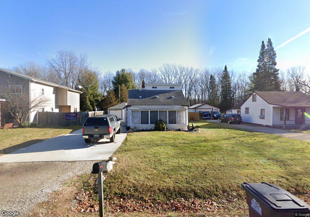
11485 Cape Cod St Taylor, MI 48180
Estimated Value: $200,338 - $278,000
3
Beds
1
Bath
1,548
Sq Ft
$154/Sq Ft
Est. Value
About This Home
This home is located at 11485 Cape Cod St, Taylor, MI 48180 and is currently estimated at $239,085, approximately $154 per square foot. 11485 Cape Cod St is a home located in Wayne County with nearby schools including Holland Elementary School, Hoover Middle School, and Taylor High School.
Ownership History
Date
Name
Owned For
Owner Type
Purchase Details
Closed on
Apr 15, 2011
Sold by
Mccauley Jeremy and Werstine Kimberly
Bought by
Morris Emmanuel and Morris Amanda
Current Estimated Value
Purchase Details
Closed on
Jun 25, 2008
Sold by
Franklin Credit Management Corp
Bought by
Tribeca Lending Corp
Purchase Details
Closed on
Feb 27, 2008
Sold by
Pilarski Peter R and Pilarski Dana M
Bought by
Franklin Credit Management Corp
Create a Home Valuation Report for This Property
The Home Valuation Report is an in-depth analysis detailing your home's value as well as a comparison with similar homes in the area
Home Values in the Area
Average Home Value in this Area
Purchase History
| Date | Buyer | Sale Price | Title Company |
|---|---|---|---|
| Morris Emmanuel | $22,000 | Michigan Title Insurance Age | |
| Tribeca Lending Corp | -- | First American Title | |
| Franklin Credit Management Corp | $123,834 | None Available |
Source: Public Records
Tax History
| Year | Tax Paid | Tax Assessment Tax Assessment Total Assessment is a certain percentage of the fair market value that is determined by local assessors to be the total taxable value of land and additions on the property. | Land | Improvement |
|---|---|---|---|---|
| 2025 | $1,825 | $85,200 | $0 | $0 |
| 2024 | $1,767 | $75,000 | $0 | $0 |
| 2023 | $2,119 | $68,100 | $0 | $0 |
| 2022 | $1,686 | $57,900 | $0 | $0 |
| 2021 | $2,002 | $55,300 | $0 | $0 |
| 2020 | $1,984 | $51,700 | $0 | $0 |
| 2019 | $235,031 | $52,000 | $0 | $0 |
| 2018 | $1,448 | $39,000 | $0 | $0 |
| 2017 | $799 | $34,700 | $0 | $0 |
| 2016 | $1,802 | $33,800 | $0 | $0 |
| 2015 | $3,272 | $40,800 | $0 | $0 |
| 2013 | $3,260 | $33,500 | $0 | $0 |
| 2012 | $1,408 | $33,200 | $16,000 | $17,200 |
Source: Public Records
Map
Nearby Homes
- 11516 Pheasant Cir
- 11890 Partridge Dr Unit 91
- 11737 Partridge Dr Unit 70
- 11825 Partridge Dr Unit 74
- 11847 Partridge Dr Unit 75
- 11715 Partridge Dr Unit 69
- 11693 Partridge Dr Unit 38
- 11693 Partridge Dr
- 11216 Cape Cod St
- 26400 Partridge Dr Unit 88
- 26376 Partridge Dr Unit 89
- 11098 Partridge Dr Unit 12
- 11098 Partridge Dr
- 25830 Belledale St
- 0 Goddard Unit 20251010304
- 25790 Madden St
- 00000 Northline Rd
- 25737 Rusty St
- 12000 Inkster Rd
- 25519 Rusty St
- 11461 Cape Cod St
- 11515 Cape Cod St
- 11427 Cape Cod St
- 11549 Cape Cod St
- 11401 Cape Cod St
- 11571 Cape Cod St
- 11490 Cape Cod St
- 11583 Cape Cod St
- 11375 Cape Cod St
- 11554 Cape Cod St
- 11406 Cape Cod St
- 11593 Cape Cod St
- 11578 Cape Cod St
- 11345 Cape Cod St
- 11560 Pheasant Cir
- 11560 Pheasant Cir Unit 49
- 11604 Pheasant Cir
- 11604 Pheasant Cir Unit 47
- 11538 Pheasant Cir
- 11538 Pheasant Cir Unit 50
Your Personal Tour Guide
Ask me questions while you tour the home.