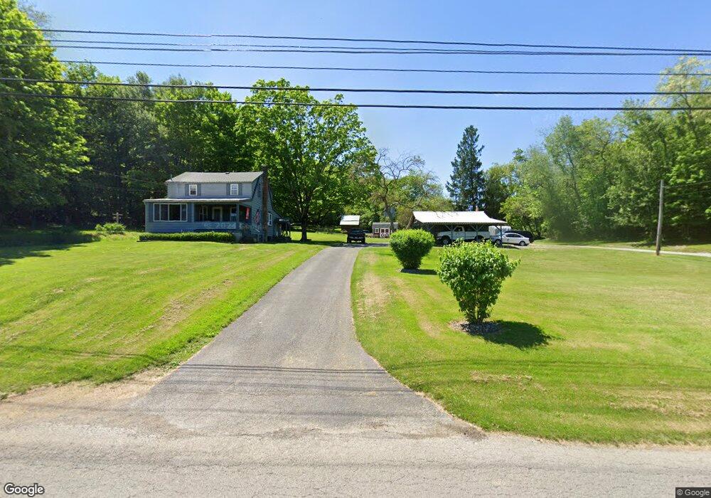
11486 Unity Rd New Springfield, OH 44443
Estimated Value: $173,984 - $237,000
About This Home
This home is located at 11486 Unity Rd, New Springfield, OH 44443 and is currently estimated at $197,496, approximately $145 per square foot. 11486 Unity Rd is a home located in Mahoning County with nearby schools including Springfield Elementary School, Springfield Intermediate Middle School, and Springfield High School.
Ownership History
We collect this data history from publicly available records. To have your information removed, we recommend requesting removal directly through your county’s website.
Purchase Details
Home Financials for this Owner
Home Financials are based on the most recent Mortgage that was taken out on this home.Purchase Details
Purchase History
We collect this data history from publicly available records. To have your information removed, we recommend requesting removal directly through your county’s website.
| Date | Buyer | Sale Price | Title Company |
|---|---|---|---|
| $188,000 | None Available | ||
| -- | -- |
Mortgage History
We collect this data history from publicly available records. To have your information removed, we recommend requesting removal directly through your county’s website.
| Date | Status | Borrower | Loan Amount |
|---|---|---|---|
| Closed | $40,000 | ||
| Closed | $98,000 | ||
| Closed | $70,000 | ||
| Closed | $35,000 |
Tax History
We collect this data history from publicly available records. To have your information removed, we recommend requesting removal directly through your county’s website.
| Year | Tax Paid | Tax Assessment Tax Assessment Total Assessment is a certain percentage of the fair market value that is determined by local assessors to be the total taxable value of land and additions on the property. | Land | Improvement |
|---|---|---|---|---|
| 2025 | $1,871 | $42,560 | $10,000 | $32,560 |
| 2024 | $1,722 | $42,560 | $10,000 | $32,560 |
| 2023 | $1,693 | $42,560 | $10,000 | $32,560 |
| 2022 | $1,533 | $34,520 | $10,000 | $24,520 |
| 2021 | $1,545 | $34,520 | $10,000 | $24,520 |
| 2020 | $1,151 | $34,280 | $9,760 | $24,520 |
| 2019 | $1,054 | $31,270 | $9,760 | $21,510 |
| 2018 | $1,441 | $31,270 | $9,760 | $21,510 |
| 2017 | $1,421 | $31,270 | $9,760 | $21,510 |
| 2016 | $1,404 | $30,160 | $8,860 | $21,300 |
| 2015 | $1,366 | $30,160 | $8,860 | $21,300 |
| 2014 | $1,373 | $30,160 | $8,860 | $21,300 |
| 2013 | $1,360 | $30,160 | $8,860 | $21,300 |
Map
- 116 Woodland Dr
- 11424 Beard Rd
- 10460 Carrie Dr
- 24 Deeringwood Dr
- 27 Woodland Dr
- 9663 Youngstown - Pittsburgh Rd
- 13 Hedgerows Unit 13
- 10105 Carrie Ct
- 4025 Shelly Lynn Dr
- 10725 Struthers Rd
- 2610 E South Range Rd
- 56 Jeffrey Ln
- 3618 Columbiana Rd
- 5255 Sycamore Hill Dr
- 13254 Unity Rd
- 4885 Tree Line Trail
- 11535 Sunny Lake Dr
- 10250 Springfield Rd
- 2780 Columbiana Rd
- 28 Shores Dr
- 11750 Unity Rd
- 3749 E Middletown Rd
- 11848 Unity Rd
- 11067 Unity Rd
- 11039 Unity Rd
- 4212 S Range Rd
- 4023 Middletown Rd E
- 4063 Middletown Rd E
- 3902 E Middletown Rd
- 11903 Unity Rd
- 11903 Unity Rd
- 4099 Middletown Rd E
- 4165 Middletown Rd E
- 4137 Middletown Rd E
- 77777 Unity Rd
- 3989 E Middletown Rd
- 3732 E South Range Rd
- 4223 Middletown Rd E
- 3895 Middletown Rd E
- 4154 Middletown Rd E
Ask me questions while you tour the home.