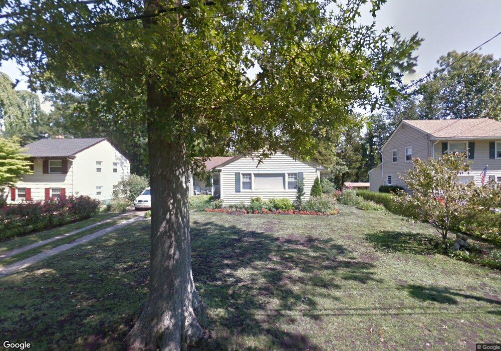
1149 Concord Dr Haddonfield, NJ 08033
Estimated Value: $536,000 - $749,000
--
Bed
--
Bath
1,184
Sq Ft
$531/Sq Ft
Est. Value
About This Home
This home is located at 1149 Concord Dr, Haddonfield, NJ 08033 and is currently estimated at $628,815, approximately $531 per square foot. 1149 Concord Dr is a home located in Camden County with nearby schools including Haddonfield Memorial High School, Haddonfield Friends School, and Christ the King Regional School.
Ownership History
Date
Name
Owned For
Owner Type
Purchase Details
Closed on
Apr 15, 1997
Sold by
Smith Frederick R
Bought by
Downs Raymond and Downs Linda
Current Estimated Value
Home Financials for this Owner
Home Financials are based on the most recent Mortgage that was taken out on this home.
Original Mortgage
$196,000
Interest Rate
7.98%
Purchase Details
Closed on
Mar 9, 1986
Bought by
Price J Michael
Create a Home Valuation Report for This Property
The Home Valuation Report is an in-depth analysis detailing your home's value as well as a comparison with similar homes in the area
Home Values in the Area
Average Home Value in this Area
Purchase History
| Date | Buyer | Sale Price | Title Company |
|---|---|---|---|
| Downs Raymond | $280,000 | -- | |
| Price J Michael | -- | -- |
Source: Public Records
Mortgage History
| Date | Status | Borrower | Loan Amount |
|---|---|---|---|
| Previous Owner | Downs Raymond | $196,000 |
Source: Public Records
Tax History Compared to Growth
Tax History
| Year | Tax Paid | Tax Assessment Tax Assessment Total Assessment is a certain percentage of the fair market value that is determined by local assessors to be the total taxable value of land and additions on the property. | Land | Improvement |
|---|---|---|---|---|
| 2025 | $8,724 | $270,000 | $266,400 | $3,600 |
| 2024 | $8,608 | $270,000 | $266,400 | $3,600 |
| 2023 | $8,608 | $270,000 | $266,400 | $3,600 |
| 2022 | $8,540 | $270,000 | $266,400 | $3,600 |
| 2021 | $8,497 | $270,000 | $266,400 | $3,600 |
| 2020 | $8,438 | $270,000 | $266,400 | $3,600 |
| 2019 | $84 | $270,000 | $266,400 | $3,600 |
| 2018 | $8,270 | $270,000 | $266,400 | $3,600 |
| 2017 | $8,073 | $270,000 | $266,400 | $3,600 |
| 2016 | $7,892 | $270,000 | $266,400 | $3,600 |
| 2015 | $7,673 | $270,000 | $266,400 | $3,600 |
| 2014 | $7,503 | $270,000 | $266,400 | $3,600 |
Source: Public Records
Map
Nearby Homes
- 95 Lane of Acres
- 35 Colonial Ridge Dr
- 316 N Woodstock Dr
- 216 Uxbridge
- 301 Tavistock
- 290 Tavistock
- 523 Carver Ct
- 518 Carver Ct
- 140 Uxbridge Unit C0140
- 204 Tavistock
- 127 Oakdale Rd
- 425 Peltoma Rd
- 1201 Wayne Rd
- 358 Quaker Rd
- 412 E Summit Ave
- 315 Hutchinson Ave
- 225 Spruce St
- 320 Warwick Rd
- 125 W Summit Ave
- 31 Moore Ave
- 1153 Concord Dr
- 1145 Concord Dr
- 1141 Concord Dr
- 1157 Concord Dr
- 1150 Concord Dr
- 18 Pennbrook Dr
- 1154 Concord Dr
- 1137 Concord Dr
- 1161 Concord Dr
- 1158 Concord Dr
- 25 Pennbrook Dr
- 1162 Concord Dr
- 1165 Concord Dr
- 1133 Concord Dr
- 1134 Concord Dr
- 24 Pennbrook Dr
- 35 Oak Ridge Dr
- 1169 Concord Dr
- 25 Oak Ridge Dr
- 45 Oak Ridge Dr