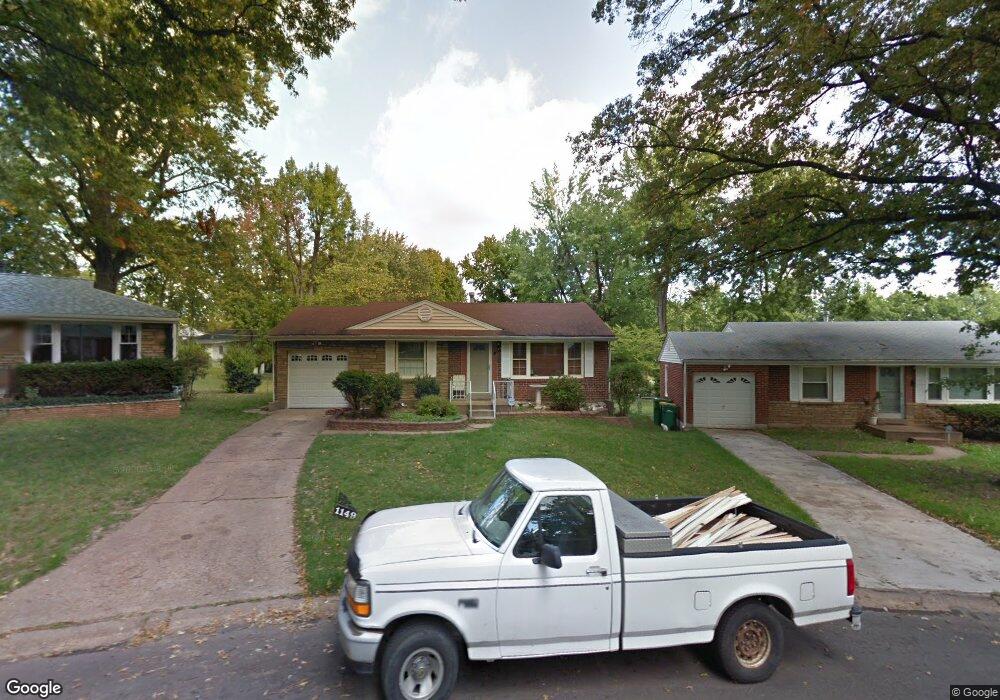
1149 Donnell Ave Saint Louis, MO 63137
Estimated Value: $96,000 - $120,000
2
Beds
1
Bath
1,054
Sq Ft
$103/Sq Ft
Est. Value
About This Home
This home is located at 1149 Donnell Ave, Saint Louis, MO 63137 and is currently estimated at $108,572, approximately $103 per square foot. 1149 Donnell Ave is a home located in St. Louis County with nearby schools including Riverview Gardens Senior High School.
Ownership History
Date
Name
Owned For
Owner Type
Purchase Details
Closed on
Oct 28, 2008
Sold by
Gordon Leo
Bought by
Gordon Leo and Gordon Earlyn
Current Estimated Value
Home Financials for this Owner
Home Financials are based on the most recent Mortgage that was taken out on this home.
Original Mortgage
$30,000
Interest Rate
6.18%
Mortgage Type
Stand Alone Refi Refinance Of Original Loan
Create a Home Valuation Report for This Property
The Home Valuation Report is an in-depth analysis detailing your home's value as well as a comparison with similar homes in the area
Home Values in the Area
Average Home Value in this Area
Purchase History
| Date | Buyer | Sale Price | Title Company |
|---|---|---|---|
| Gordon Leo | -- | Title Partners Agency Llc |
Source: Public Records
Mortgage History
| Date | Status | Borrower | Loan Amount |
|---|---|---|---|
| Closed | Gordon Leo | $30,000 |
Source: Public Records
Tax History
| Year | Tax Paid | Tax Assessment Tax Assessment Total Assessment is a certain percentage of the fair market value that is determined by local assessors to be the total taxable value of land and additions on the property. | Land | Improvement |
|---|---|---|---|---|
| 2025 | $2,150 | $20,640 | $2,000 | $18,640 |
| 2024 | $2,150 | $18,700 | $1,200 | $17,500 |
| 2023 | $2,150 | $18,700 | $1,200 | $17,500 |
| 2022 | $1,511 | $10,590 | $2,000 | $8,590 |
| 2021 | $1,497 | $10,590 | $2,000 | $8,590 |
| 2020 | $1,253 | $9,630 | $2,010 | $7,620 |
| 2019 | $1,217 | $9,630 | $2,010 | $7,620 |
| 2018 | $1,070 | $7,900 | $910 | $6,990 |
| 2017 | $1,035 | $7,900 | $910 | $6,990 |
| 2016 | $1,091 | $8,230 | $1,670 | $6,560 |
| 2015 | $994 | $8,230 | $1,670 | $6,560 |
| 2014 | $1,114 | $9,290 | $1,750 | $7,540 |
Source: Public Records
Map
Nearby Homes
- 9244 Edna St
- 9239 Astoria Dr
- 9169 Newby St
- 9271 Dell Ct
- 9279 Dell Ct
- 1119 Astoria Dr
- 925 Riverview Blvd
- 9419 Jennings Station Rd
- 9426 Westchester Dr
- 9116 Jordan St
- 9418 Pattonwood Dr
- 9448 Ardmore Dr
- 9406 Pattonwood Dr
- 815 Portland Terrace
- 8770 Jordan Ave
- 949 Canaan Ave
- 8937 Edna St
- 9468 Halls Ferry Rd
- 835 Elias Ave
- 9472 Yorktown Dr
Your Personal Tour Guide
Ask me questions while you tour the home.