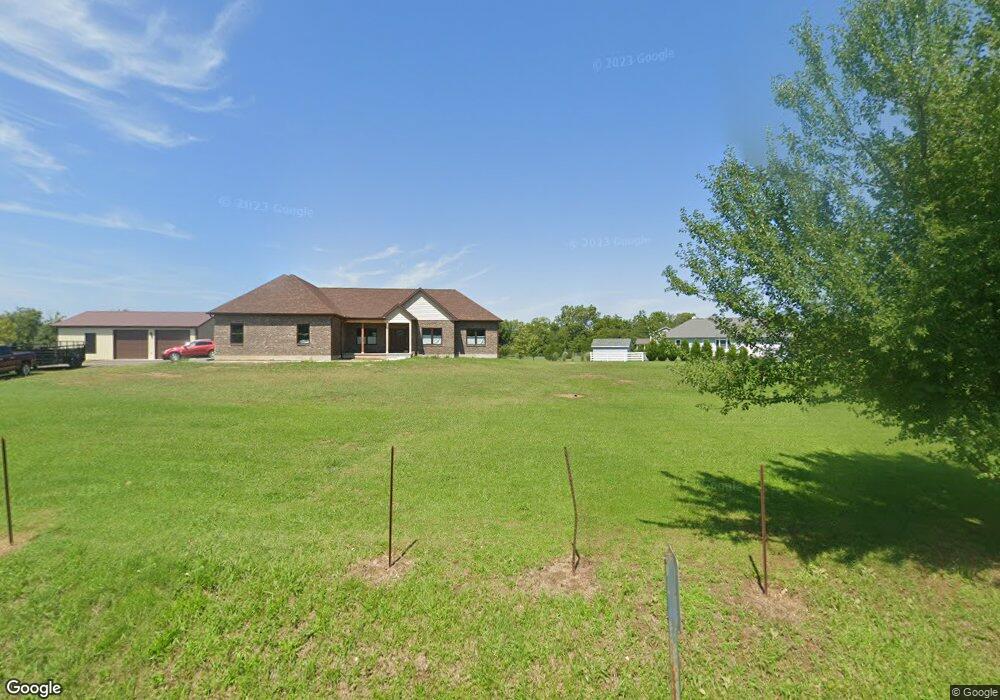
1149 Port William Rd Jamestown, OH 45335
Estimated Value: $421,000 - $855,000
2
Beds
2
Baths
2,405
Sq Ft
$252/Sq Ft
Est. Value
About This Home
This home is located at 1149 Port William Rd, Jamestown, OH 45335 and is currently estimated at $605,220, approximately $251 per square foot. 1149 Port William Rd is a home located in Clinton County with nearby schools including East End Elementary School, Denver Place Elementary School, and Roy E. Holmes Elementary School.
Ownership History
Date
Name
Owned For
Owner Type
Purchase Details
Closed on
Jul 21, 2016
Sold by
Phillips Russell
Bought by
Russell Phillips and Deborah S Phillips
Current Estimated Value
Home Financials for this Owner
Home Financials are based on the most recent Mortgage that was taken out on this home.
Interest Rate
3.45%
Purchase Details
Closed on
Dec 13, 2006
Sold by
Roudebush Franklin H
Bought by
Countrytyme Lebanon Ltd
Create a Home Valuation Report for This Property
The Home Valuation Report is an in-depth analysis detailing your home's value as well as a comparison with similar homes in the area
Home Values in the Area
Average Home Value in this Area
Purchase History
| Date | Buyer | Sale Price | Title Company |
|---|---|---|---|
| Russell Phillips | $20,000 | -- | |
| Countrytyme Lebanon Ltd | $428,050 | -- |
Source: Public Records
Mortgage History
| Date | Status | Borrower | Loan Amount |
|---|---|---|---|
| Closed | Russell Phillips | -- |
Source: Public Records
Tax History Compared to Growth
Tax History
| Year | Tax Paid | Tax Assessment Tax Assessment Total Assessment is a certain percentage of the fair market value that is determined by local assessors to be the total taxable value of land and additions on the property. | Land | Improvement |
|---|---|---|---|---|
| 2024 | $5,372 | $149,000 | $15,190 | $133,810 |
| 2023 | $5,372 | $13,440 | $13,440 | $0 |
| 2022 | $272 | $7,610 | $7,610 | $0 |
| 2021 | $275 | $7,610 | $7,610 | $0 |
| 2020 | $266 | $7,610 | $7,610 | $0 |
| 2019 | $286 | $7,610 | $7,610 | $0 |
| 2018 | $260 | $7,610 | $7,610 | $0 |
| 2017 | $253 | $7,610 | $7,610 | $0 |
| 2016 | $254 | $7,610 | $7,610 | $0 |
| 2015 | $266 | $7,610 | $7,610 | $0 |
| 2013 | $260 | $7,610 | $7,610 | $0 |
Source: Public Records
Map
Nearby Homes
- 2723 Gano Rd
- 3915 U S 68
- 3863 S Old Us Rt 68
- 2268 E Spring Valley Paintersville Rd
- 241 Raycon Dr
- 668 New Burlington Rd
- 2676 Waynesville Jamestown Rd
- 2594 Irvin Rd
- 5469 Davis Rd
- 1697 Oglesbee Rd
- 3222 Maysville St
- 1736 Winchester Rd
- 1253 Us Route 68
- 0 US Route 68 Unit 1792385
- 0 US Route 68 Unit 1831183
- 52 Maple Point Ct
- 0 S St Rt 73 Unit 1827681
- 3710 N Lakeshore Dr
- 6355 Zimmerman Rd
- 01 Jasper Rd
- 39 Bone Rd
- 1118 Port William Rd
- 1135 Port William Rd
- 1226 Port William Rd
- 1252 Port William Rd
- 1038 Port William Rd
- 1186 Port William Rd
- 3 Bone Rd
- 989 Port William Rd
- 996 Port William Rd
- 161 Bone Rd
- 966 Port William Rd
- 1323 Port William Rd
- 1414 Port William Rd
- 906 Port William Rd
- 1446 Port William Rd
- 1378 Port William Rd
- 845 Port William Rd
- 2.2300ac Bone Rd
- 821 Port William Rd