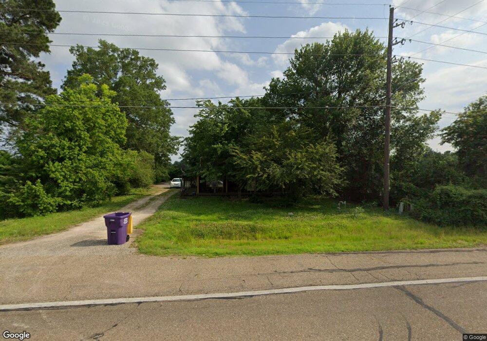
1149 Westside Dr Ashdown, AR 71822
Estimated Value: $96,000 - $258,000
Studio
1
Bath
2,150
Sq Ft
$80/Sq Ft
Est. Value
About This Home
This home is located at 1149 Westside Dr, Ashdown, AR 71822 and is currently estimated at $172,006, approximately $80 per square foot. 1149 Westside Dr is a home located in Little River County with nearby schools including Ashdown Elementary School, L.F. Henderson Interm. School, and Ashdown Junior High School.
Ownership History
Date
Name
Owned For
Owner Type
Purchase Details
Closed on
Jun 4, 2018
Bought by
Vanmoore Laquita
Current Estimated Value
Purchase Details
Closed on
Feb 19, 2014
Bought by
Brown Dallas
Purchase Details
Closed on
Jul 22, 2013
Bought by
Us Bank National Assoc Trustee and For Credit Suisse First Boston M
Purchase Details
Closed on
Jul 6, 2006
Bought by
Gilbert Kathie
Purchase Details
Closed on
Jun 18, 1999
Bought by
Gilbert Gary W and Gilbert Kathie
Purchase Details
Closed on
Jan 17, 1997
Bought by
Gilbert Gary W and Gilbert Kathie
Create a Home Valuation Report for This Property
The Home Valuation Report is an in-depth analysis detailing your home's value as well as a comparison with similar homes in the area
Home Values in the Area
Average Home Value in this Area
Purchase History
| Date | Buyer | Sale Price | Title Company |
|---|---|---|---|
| Vanmoore Laquita | $15,000 | -- | |
| Brown Dallas | $15,000 | -- | |
| Us Bank National Assoc Trustee | -- | -- | |
| Gilbert Kathie | -- | -- | |
| Gilbert Gary W | -- | -- | |
| Gilbert Gary W | -- | -- |
Source: Public Records
Tax History
| Year | Tax Paid | Tax Assessment Tax Assessment Total Assessment is a certain percentage of the fair market value that is determined by local assessors to be the total taxable value of land and additions on the property. | Land | Improvement |
|---|---|---|---|---|
| 2025 | $64 | $16,320 | $1,920 | $14,400 |
| 2024 | $137 | $16,320 | $1,920 | $14,400 |
| 2023 | $184 | $16,320 | $1,920 | $14,400 |
| 2022 | $206 | $16,320 | $1,920 | $14,400 |
| 2021 | $179 | $13,210 | $1,080 | $12,130 |
| 2020 | $179 | $13,210 | $1,080 | $12,130 |
| 2019 | $179 | $13,210 | $1,080 | $12,130 |
| 2018 | $204 | $13,210 | $1,080 | $12,130 |
| 2017 | $204 | $13,210 | $1,080 | $12,130 |
| 2016 | $266 | $14,690 | $940 | $13,750 |
| 2015 | $266 | $14,690 | $940 | $13,750 |
| 2014 | $593 | $14,690 | $940 | $13,750 |
Source: Public Records
Map
Nearby Homes
Your Personal Tour Guide
Ask me questions while you tour the home.