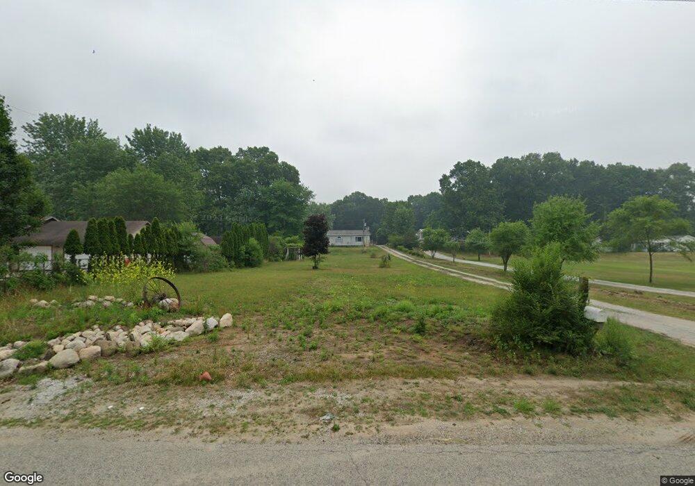
11495 E 400 N Grovertown, IN 46531
Estimated Value: $163,000 - $263,000
2
Beds
3
Baths
2,300
Sq Ft
$91/Sq Ft
Est. Value
About This Home
This home is located at 11495 E 400 N, Grovertown, IN 46531 and is currently estimated at $209,276, approximately $90 per square foot. 11495 E 400 N is a home located in Starke County with nearby schools including Oregon-Davis Elementary School and Oregon-Davis Junior/Senior High School.
Ownership History
Date
Name
Owned For
Owner Type
Purchase Details
Closed on
Oct 3, 2024
Sold by
Starke County
Bought by
Filip George
Current Estimated Value
Purchase Details
Closed on
Nov 2, 2010
Sold by
Deutsche Bank National Turst Co
Bought by
Taylor Chad R and Taylor Rachael D
Home Financials for this Owner
Home Financials are based on the most recent Mortgage that was taken out on this home.
Original Mortgage
$72,523
Interest Rate
4.84%
Mortgage Type
New Conventional
Purchase Details
Closed on
May 7, 2010
Sold by
Luse Robert E and Luse Paula R
Bought by
Deutsche Bank National Trust Co
Create a Home Valuation Report for This Property
The Home Valuation Report is an in-depth analysis detailing your home's value as well as a comparison with similar homes in the area
Home Values in the Area
Average Home Value in this Area
Purchase History
| Date | Buyer | Sale Price | Title Company |
|---|---|---|---|
| Filip George | $68,711 | First American Title | |
| Taylor Chad R | -- | Title 2 Land Llc | |
| Deutsche Bank National Trust Co | $32,305 | None Available |
Source: Public Records
Mortgage History
| Date | Status | Borrower | Loan Amount |
|---|---|---|---|
| Previous Owner | Taylor Chad R | $72,523 |
Source: Public Records
Tax History Compared to Growth
Tax History
| Year | Tax Paid | Tax Assessment Tax Assessment Total Assessment is a certain percentage of the fair market value that is determined by local assessors to be the total taxable value of land and additions on the property. | Land | Improvement |
|---|---|---|---|---|
| 2024 | $811 | $125,600 | $34,100 | $91,500 |
| 2023 | $728 | $113,100 | $29,500 | $83,600 |
| 2022 | $703 | $104,700 | $26,700 | $78,000 |
| 2021 | $674 | $88,700 | $24,300 | $64,400 |
| 2020 | $628 | $79,900 | $24,100 | $55,800 |
| 2019 | $587 | $77,600 | $23,700 | $53,900 |
| 2018 | $557 | $73,800 | $22,900 | $50,900 |
| 2017 | $458 | $70,400 | $22,000 | $48,400 |
| 2016 | $445 | $74,500 | $21,800 | $52,700 |
| 2014 | $452 | $76,300 | $21,700 | $54,600 |
| 2013 | $419 | $75,100 | $20,900 | $54,200 |
Source: Public Records
Map
Nearby Homes
- 11538 E 400 N
- 11100 E 300 N
- 20510 W 8th Rd
- TBD E 550 N
- 7640 Union Rd
- TBD 500 N
- 3935 N 950 E
- 19547 Lincoln Hwy
- 19203 6th Rd
- TBD Beech Ave
- 20906 S Lake Dr
- 00 S Lake Dr
- TBD S Lake Dr
- Lot 10 Shipping Lane Dr W
- 20782 S Lake Dr
- 11985 E South St
- 10959 E Tippecanoe Dr
- 9515 E 100 N
- 7640 Indiana 23
- 7685 N Tecumseh Rd