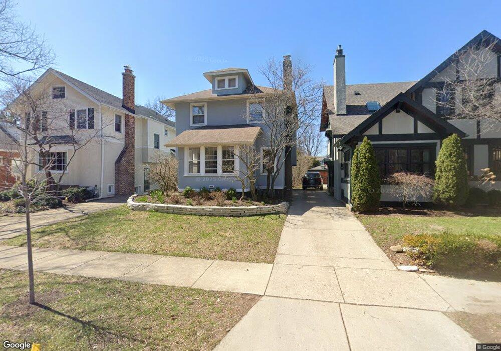
115 3rd St Wilmette, IL 60091
Estimated Value: $892,436 - $1,122,000
3
Beds
2
Baths
1,849
Sq Ft
$546/Sq Ft
Est. Value
About This Home
This home is located at 115 3rd St, Wilmette, IL 60091 and is currently estimated at $1,008,859, approximately $545 per square foot. 115 3rd St is a home located in Cook County with nearby schools including Central Elementary School, Highcrest Middle School, and Wilmette Junior High School.
Ownership History
Date
Name
Owned For
Owner Type
Purchase Details
Closed on
Aug 21, 2020
Sold by
Schuetz Defreitas R and Schuetz Nancy A
Bought by
Defreitas R Andrew and De Freitas Land Trust
Current Estimated Value
Purchase Details
Closed on
Sep 17, 2009
Sold by
Gilman Geoffrey L and Gilman Carla K
Bought by
Defreitas Roger Andrew
Home Financials for this Owner
Home Financials are based on the most recent Mortgage that was taken out on this home.
Original Mortgage
$417,000
Outstanding Balance
$269,379
Interest Rate
5.19%
Mortgage Type
New Conventional
Estimated Equity
$739,480
Create a Home Valuation Report for This Property
The Home Valuation Report is an in-depth analysis detailing your home's value as well as a comparison with similar homes in the area
Home Values in the Area
Average Home Value in this Area
Purchase History
| Date | Buyer | Sale Price | Title Company |
|---|---|---|---|
| Defreitas R Andrew | -- | None Available | |
| Defreitas Roger Andrew | $650,000 | Centennial Title Inc |
Source: Public Records
Mortgage History
| Date | Status | Borrower | Loan Amount |
|---|---|---|---|
| Open | Defreitas Roger Andrew | $417,000 |
Source: Public Records
Tax History
| Year | Tax Paid | Tax Assessment Tax Assessment Total Assessment is a certain percentage of the fair market value that is determined by local assessors to be the total taxable value of land and additions on the property. | Land | Improvement |
|---|---|---|---|---|
| 2025 | $12,985 | $87,000 | $17,810 | $69,190 |
| 2024 | $12,985 | $60,537 | $15,070 | $45,467 |
| 2023 | $12,267 | $60,537 | $15,070 | $45,467 |
| 2022 | $12,267 | $60,537 | $15,070 | $45,467 |
| 2021 | $12,521 | $51,527 | $10,960 | $40,567 |
| 2020 | $12,375 | $51,527 | $10,960 | $40,567 |
| 2019 | $12,566 | $58,516 | $10,960 | $47,556 |
| 2018 | $11,758 | $52,859 | $9,316 | $43,543 |
| 2017 | $11,447 | $52,859 | $9,316 | $43,543 |
| 2016 | $10,947 | $52,859 | $9,316 | $43,543 |
| 2015 | $10,769 | $46,001 | $7,672 | $38,329 |
| 2014 | $10,610 | $46,001 | $7,672 | $38,329 |
| 2013 | $10,359 | $47,032 | $7,672 | $39,360 |
Source: Public Records
Map
Nearby Homes
- 2740 Asbury Ave
- 414 Laurel Ave
- 339 Greenleaf Ave Unit D
- 420 Linden Ave Unit 502
- 526 Linden Ave
- 325 Central Ave
- 606 5th St Unit 606
- 2647 Poplar Ave
- 736 Central St
- 1115 Colfax St
- 1813 Lincoln St
- 1201 Noyes St
- 2528 Sheridan Rd
- 2236 Ridge Ave
- 2108 Harrison St
- 2316 Sherman Ave Unit 1B
- 2258 Sherman Ave Unit 1
- 1915 Grant St
- 611 Elmwood Ave
- 2017 Jackson Ave