115 Ashlynn Brook Way Unit 11 Senoia, GA 30276
Estimated Value: $554,000 - $585,000
4
Beds
3
Baths
2,649
Sq Ft
$213/Sq Ft
Est. Value
About This Home
This home is located at 115 Ashlynn Brook Way Unit 11, Senoia, GA 30276 and is currently estimated at $565,557, approximately $213 per square foot. 115 Ashlynn Brook Way Unit 11 is a home located in Coweta County with nearby schools including Moreland Elementary School, Smokey Road Middle School, and East Coweta High School.
Ownership History
Date
Name
Owned For
Owner Type
Purchase Details
Closed on
Oct 28, 2019
Sold by
Stokes Guy
Bought by
Stokes Linda Lee and Stokes Guy J
Current Estimated Value
Purchase Details
Closed on
Oct 6, 2017
Bought by
Stokes Guy and Stokes Linda
Home Financials for this Owner
Home Financials are based on the most recent Mortgage that was taken out on this home.
Original Mortgage
$280,337
Interest Rate
3.78%
Mortgage Type
New Conventional
Create a Home Valuation Report for This Property
The Home Valuation Report is an in-depth analysis detailing your home's value as well as a comparison with similar homes in the area
Home Values in the Area
Average Home Value in this Area
Purchase History
| Date | Buyer | Sale Price | Title Company |
|---|---|---|---|
| Stokes Linda Lee | -- | -- | |
| Stokes Guy | $350,422 | -- |
Source: Public Records
Mortgage History
| Date | Status | Borrower | Loan Amount |
|---|---|---|---|
| Previous Owner | Stokes Guy | $280,337 |
Source: Public Records
Tax History Compared to Growth
Tax History
| Year | Tax Paid | Tax Assessment Tax Assessment Total Assessment is a certain percentage of the fair market value that is determined by local assessors to be the total taxable value of land and additions on the property. | Land | Improvement |
|---|---|---|---|---|
| 2025 | $3,301 | $216,300 | $38,000 | $178,300 |
| 2024 | $3,244 | $219,335 | $38,000 | $181,335 |
| 2023 | $3,244 | $209,570 | $24,000 | $185,570 |
| 2022 | $2,704 | $168,373 | $24,000 | $144,373 |
| 2021 | $2,452 | $151,846 | $24,000 | $127,846 |
| 2020 | $2,463 | $151,846 | $24,000 | $127,846 |
| 2019 | $2,849 | $126,280 | $22,000 | $104,280 |
| 2018 | $2,810 | $124,727 | $22,000 | $102,727 |
| 2017 | $645 | $22,000 | $22,000 | $0 |
Source: Public Records
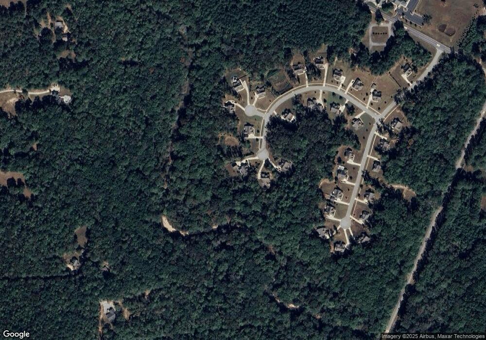
Map
Nearby Homes
- 2725 Gordon Rd
- 0 Highway 54 Unit 10561313
- 0 Highway 54 Unit 7613124
- 2963 Gordon Rd
- 59 Akers Lake Dr
- 143 Ryeland Dr
- 98 Ryeland Dr
- 136 Ryeland Dr
- 152 Bear Creek Rd
- 1234 Haynie Rd
- 215 Grey Fairs Ave
- 83 Homesite Slick Ct
- 88 Slick Ct
- 449 Saddleridge Trail
- Henry II Plan at Saddleridge
- Emerson II Plan at Saddleridge
- Margaret Plan at Saddleridge
- Lauren II Plan at Saddleridge
- Clarity Plan at Saddleridge
- Brevard Plan at Saddleridge
- 116 Ashlynn Brook Way Unit 12
- 116 Ashlynn Brook Way
- 103 Ashlynn Brook Way Unit 10
- 114 Ashlynn Brook Way Unit 13
- 14 John Henry Trace Unit 9
- 0 Highway 54 and Gordon Rd Unit 7156562
- 0 Gordon Rd Hwy 54 Unit 7317616
- 0 Gordon Rd Hwy 54 Unit 7203479
- 11 John Henry Trace
- 125 Old Bailey Farms Dr Unit 20
- 15 John Henry Trace Unit 8
- 48 Ashlynn Brook Way
- 139 Old Bailey Farms Dr
- 135 Old Bailey Farms Dr Unit 21
- 97 Old Bailey Farms Dr Unit 18
- 26 Ashlynn Brook Way Unit 16
- 44 Ashlynn Brook Way Unit 15
- 14 Ashlynn Brook Way
- 140 Old Bailey Farms Dr
- 57 Ashlynn Brook Way Unit 6