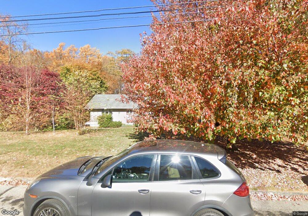
115 Birchwood Dr New Britain, CT 06052
Estimated Value: $451,000 - $558,000
3
Beds
4
Baths
2,316
Sq Ft
$219/Sq Ft
Est. Value
About This Home
This home is located at 115 Birchwood Dr, New Britain, CT 06052 and is currently estimated at $507,993, approximately $219 per square foot. 115 Birchwood Dr is a home located in Hartford County with nearby schools including Lincoln School, Slade Middle School, and Raymond Hill School.
Ownership History
Date
Name
Owned For
Owner Type
Purchase Details
Closed on
Jul 23, 2003
Sold by
Baroni Ann M
Bought by
Ireland James D
Current Estimated Value
Home Financials for this Owner
Home Financials are based on the most recent Mortgage that was taken out on this home.
Original Mortgage
$232,000
Interest Rate
5.27%
Purchase Details
Closed on
Oct 26, 1994
Sold by
Peoples Bk New Britain
Bought by
Hpp Inc
Purchase Details
Closed on
Mar 10, 1993
Sold by
Peoples Sb New Britain
Bought by
Baroni David J and Baroni Ann M
Create a Home Valuation Report for This Property
The Home Valuation Report is an in-depth analysis detailing your home's value as well as a comparison with similar homes in the area
Home Values in the Area
Average Home Value in this Area
Purchase History
| Date | Buyer | Sale Price | Title Company |
|---|---|---|---|
| Ireland James D | $290,000 | -- | |
| Hpp Inc | $380,000 | -- | |
| Baroni David J | $176,500 | -- |
Source: Public Records
Mortgage History
| Date | Status | Borrower | Loan Amount |
|---|---|---|---|
| Closed | Baroni David J | $188,000 | |
| Closed | Baroni David J | $232,000 |
Source: Public Records
Tax History Compared to Growth
Tax History
| Year | Tax Paid | Tax Assessment Tax Assessment Total Assessment is a certain percentage of the fair market value that is determined by local assessors to be the total taxable value of land and additions on the property. | Land | Improvement |
|---|---|---|---|---|
| 2025 | $11,184 | $285,460 | $90,230 | $195,230 |
| 2024 | $11,301 | $285,460 | $90,230 | $195,230 |
| 2023 | $10,927 | $285,460 | $90,230 | $195,230 |
| 2022 | $9,418 | $190,260 | $41,580 | $148,680 |
| 2021 | $9,418 | $190,260 | $41,580 | $148,680 |
| 2020 | $9,608 | $190,260 | $41,580 | $148,680 |
| 2019 | $9,608 | $190,260 | $41,580 | $148,680 |
| 2018 | $9,608 | $190,260 | $41,580 | $148,680 |
| 2017 | $9,707 | $192,220 | $42,350 | $149,870 |
| 2016 | $9,707 | $192,220 | $42,350 | $149,870 |
| 2015 | $9,419 | $192,220 | $42,350 | $149,870 |
| 2014 | $9,419 | $192,220 | $42,350 | $149,870 |
Source: Public Records
Map
Nearby Homes
- 145 Reservoir Rd
- 28 Weigands Dr
- 236 Garry Dr
- 71 Pennsylvania Ave
- 367 Lincoln St
- 300 Lincoln St
- 423 Monroe St
- 212 Lincoln St
- 565 Lincoln St
- 149 Pennsylvania Ave Unit 151
- 112 Lincoln St
- 78 May St
- 84 May St
- 66 Lincoln St
- 33 Colt St
- 817 W Main St
- 30 Westerly St
- 73 Brooklawn St
- 43 Westerly St
- 52 Chatham Rd
- 105 Birchwood Dr
- 120 Birchwood Dr
- 130 Birchwood Dr
- 110 Birchwood Dr
- 95 Birchwood Dr
- 80 Birchwood Dr
- 50 Cedarwood Dr
- 44 Cedarwood Dr
- 89 Birchwood Dr
- 66 Birchwood Dr
- 134 Oakwood Dr
- 58 Cedarwood Dr
- 165 Birchwood Dr
- 166 Birchwood Dr
- 20 Birchwood Dr
- 34 Cedarwood Dr
- 77 Birchwood Dr
- 68 Cedarwood Dr
- 175 Birchwood Dr
- 50 Birchwood Dr