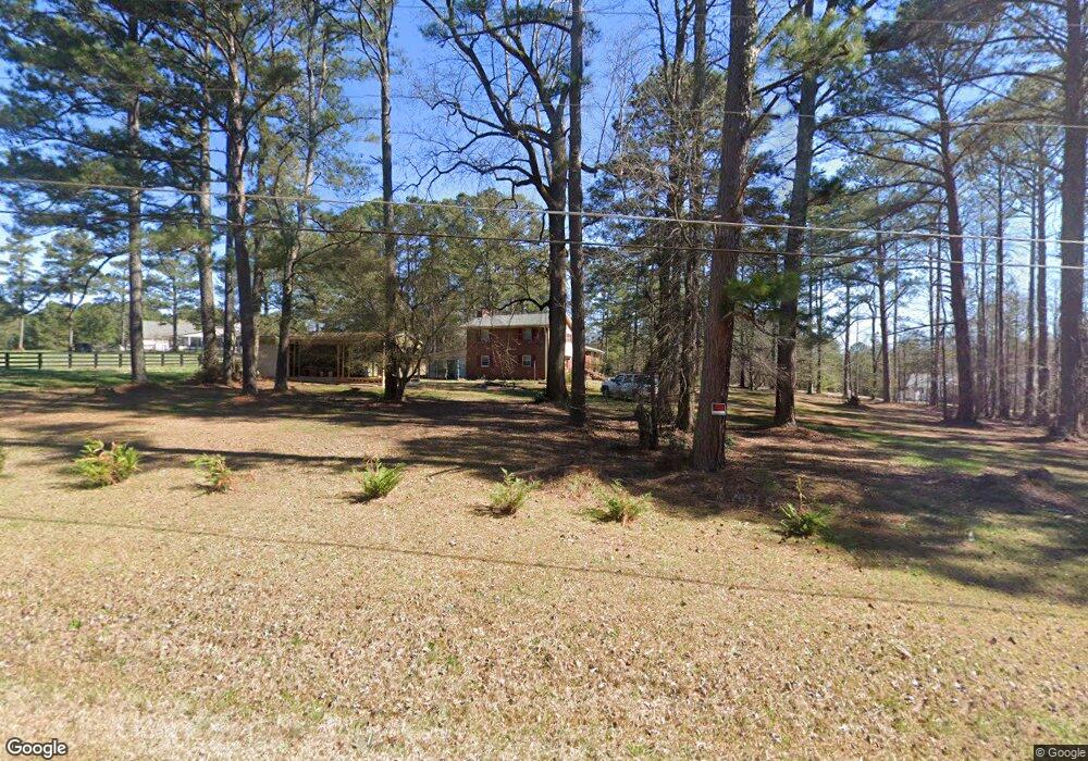
115 Brookshire Dr Unit 8 Fayetteville, GA 30215
Estimated Value: $446,716 - $508,000
5
Beds
3
Baths
2,792
Sq Ft
$169/Sq Ft
Est. Value
About This Home
This home is located at 115 Brookshire Dr Unit 8, Fayetteville, GA 30215 and is currently estimated at $472,429, approximately $169 per square foot. 115 Brookshire Dr Unit 8 is a home located in Fayette County with nearby schools including Sara Harp Minter Elementary School, Whitewater Middle School, and Whitewater High School.
Ownership History
Date
Name
Owned For
Owner Type
Purchase Details
Closed on
Aug 26, 2021
Sold by
Jasmine Lott
Bought by
Vsp Atlanta Llc
Current Estimated Value
Purchase Details
Closed on
Mar 21, 2018
Sold by
Lewis Raymond E
Bought by
Lott Isaac and Lott Jasmine
Home Financials for this Owner
Home Financials are based on the most recent Mortgage that was taken out on this home.
Original Mortgage
$243,000
Interest Rate
4.4%
Mortgage Type
VA
Purchase Details
Closed on
May 31, 1995
Sold by
Ayers Ilene
Bought by
Lewis Raymond Donna
Create a Home Valuation Report for This Property
The Home Valuation Report is an in-depth analysis detailing your home's value as well as a comparison with similar homes in the area
Home Values in the Area
Average Home Value in this Area
Purchase History
| Date | Buyer | Sale Price | Title Company |
|---|---|---|---|
| Vsp Atlanta Llc | -- | None Listed On Document | |
| Vsp Atlanta Llc | $360,000 | -- | |
| Lott Isaac | $243,000 | -- | |
| Lewis Raymond Donna | $130,000 | -- |
Source: Public Records
Mortgage History
| Date | Status | Borrower | Loan Amount |
|---|---|---|---|
| Previous Owner | Lott Isaac | $243,000 |
Source: Public Records
Tax History Compared to Growth
Tax History
| Year | Tax Paid | Tax Assessment Tax Assessment Total Assessment is a certain percentage of the fair market value that is determined by local assessors to be the total taxable value of land and additions on the property. | Land | Improvement |
|---|---|---|---|---|
| 2024 | $4,179 | $153,972 | $37,188 | $116,784 |
| 2023 | $4,179 | $134,088 | $32,128 | $101,960 |
| 2022 | $3,504 | $125,972 | $28,332 | $97,640 |
| 2021 | $69 | $108,724 | $25,804 | $82,920 |
| 2020 | $142 | $95,388 | $22,588 | $72,800 |
| 2019 | $204 | $92,748 | $22,588 | $70,160 |
| 2018 | $2,386 | $85,092 | $20,132 | $64,960 |
| 2017 | $2,105 | $75,120 | $19,640 | $55,480 |
| 2016 | $1,955 | $68,480 | $19,640 | $48,840 |
| 2015 | $1,844 | $63,640 | $19,640 | $44,000 |
| 2014 | $1,722 | $58,560 | $19,640 | $38,920 |
| 2013 | -- | $58,400 | $0 | $0 |
Source: Public Records
Map
Nearby Homes
- 205 Avon Dr
- 175 Lockmeade Way
- 122 Hawn Rd
- 135 Horseshoe Cir
- 145 Saddle Ridge Way
- 360 Seawright Dr
- 220 Saddle Ridge Way Unit 1
- 115 Ebenezer Church Rd
- 0 Ebenezer Church Rd Unit 10631629
- 0 Ebenezer Church Rd Unit 10631657
- 155 Redspire Ln
- 100 Cherokee Place
- 105 Roxbrough Ln Unit 7A
- LOT 2 SOUTH OF Redwine Rd Unit LOT 2 SOUTH OF 1585
- 115 Monte Ridge Way
- 145 Hideaway Dr
- 120 Red Fox Run
- 165 Hideaway Dr
- 105 Windridge Dr
- 573 Lester Rd
- 115 Brookshire 33 41 Unit 8
- 115 Brookshire Dr
- 345 Brookshire Dr
- 210 Avon Dr
- 0 Avon Dr Unit 7418156
- 0 Avon Dr Unit 7268647
- 0 Avon Dr Unit 7001775
- 0 Avon Dr Unit 8588725
- 0 Avon Dr Unit 7000272
- 0 Avon Dr
- 550 Avon Dr
- 225 Avon Dr
- 120 Brookshire Dr
- 315 Sherwood Rd
- 235 Avon Dr
- 120 Watercrest Ln
- 115 Watercrest Ln
- 300 Sherwood Rd
- 220 Avon Dr
- 250 Lockmeade Way Unit 113
